AlpsCraft Adventures
AlpsCraft
PL DE EN
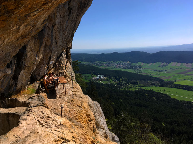
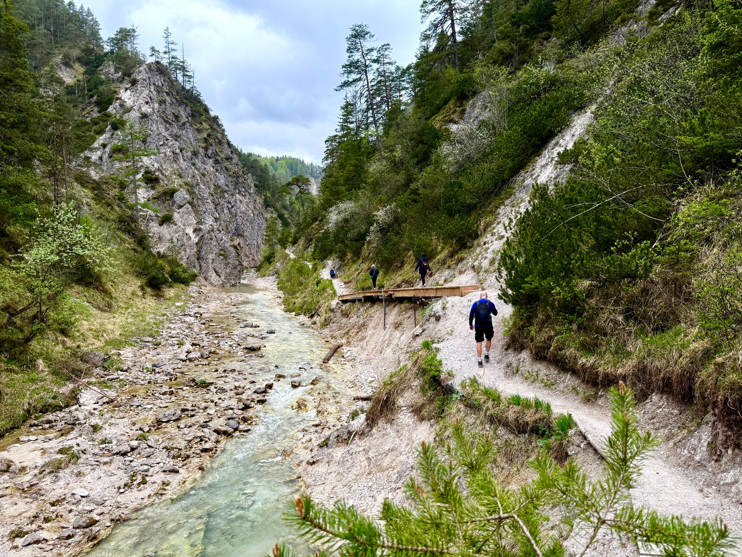
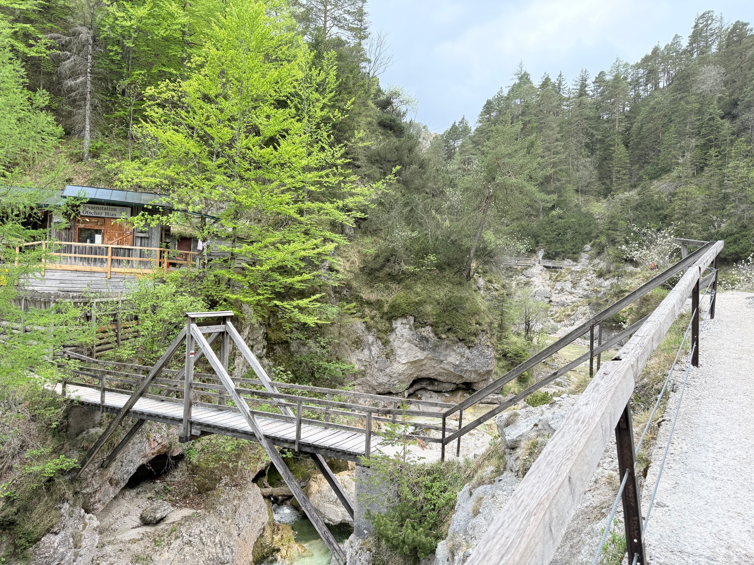
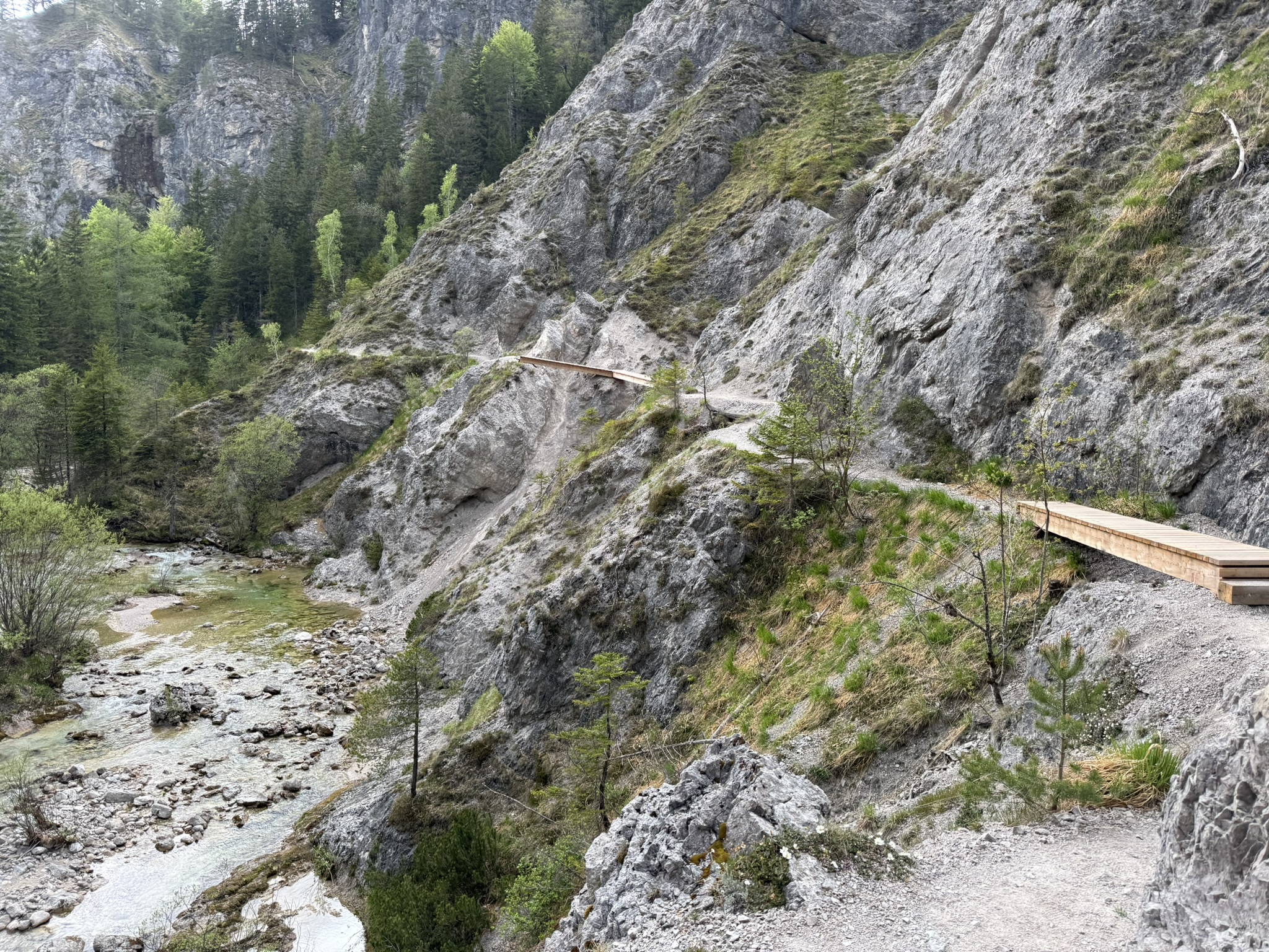
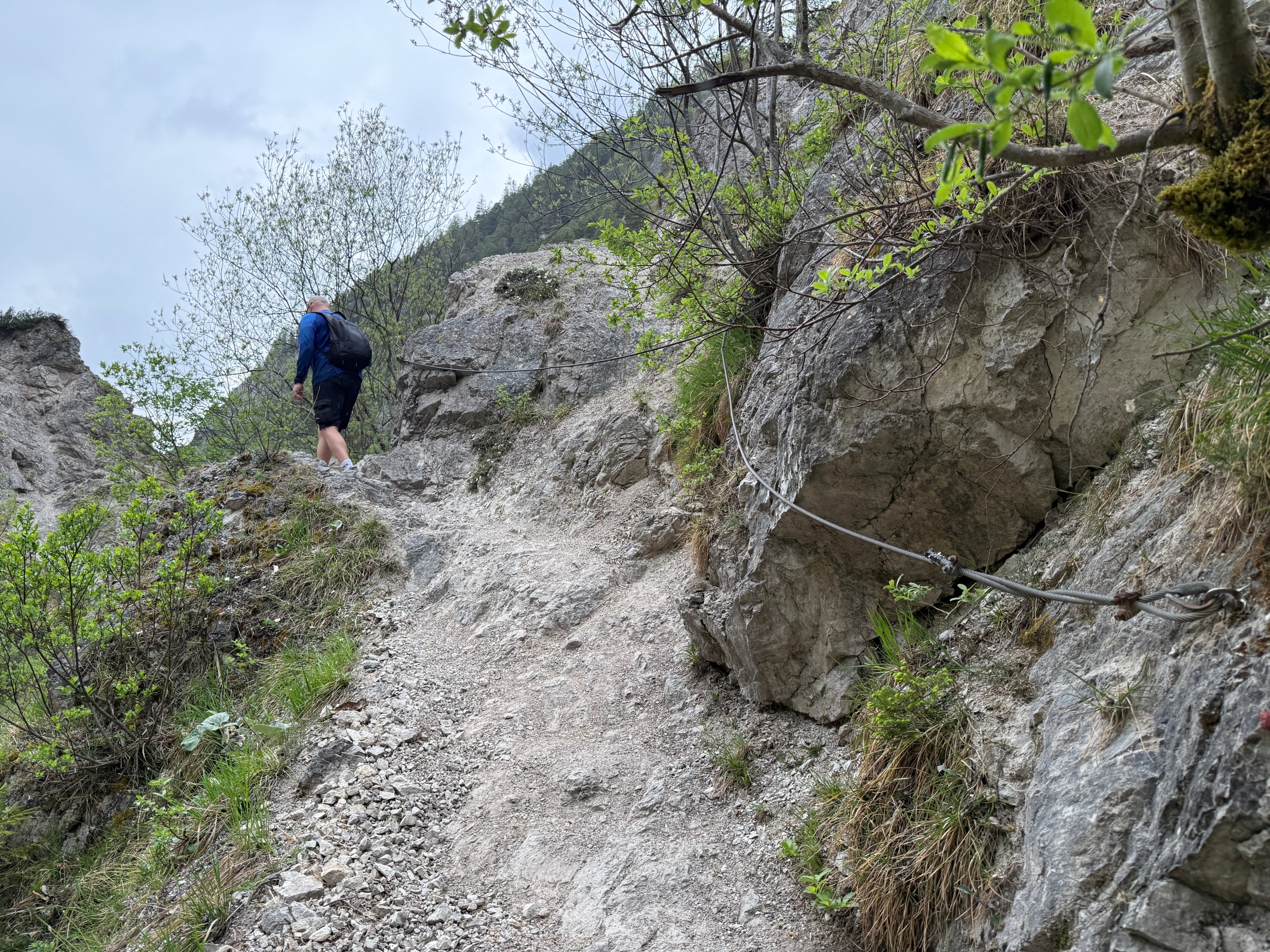
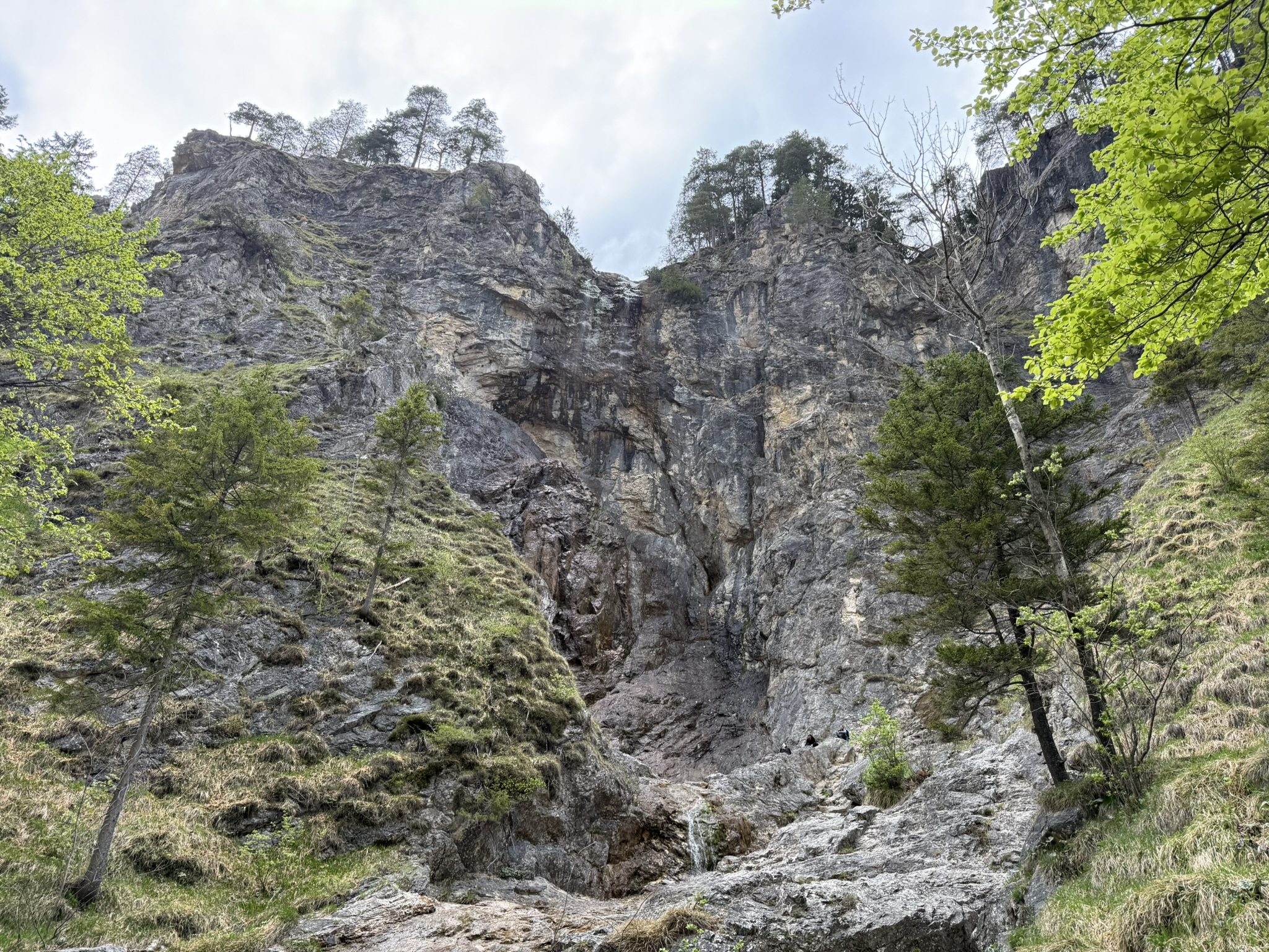
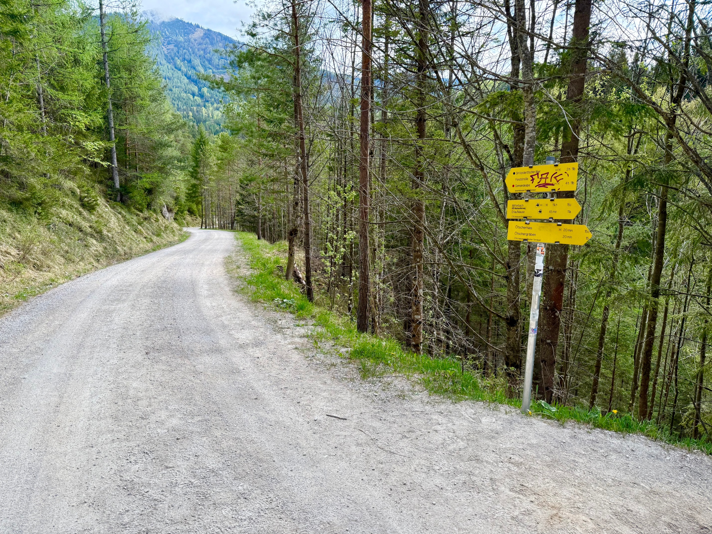
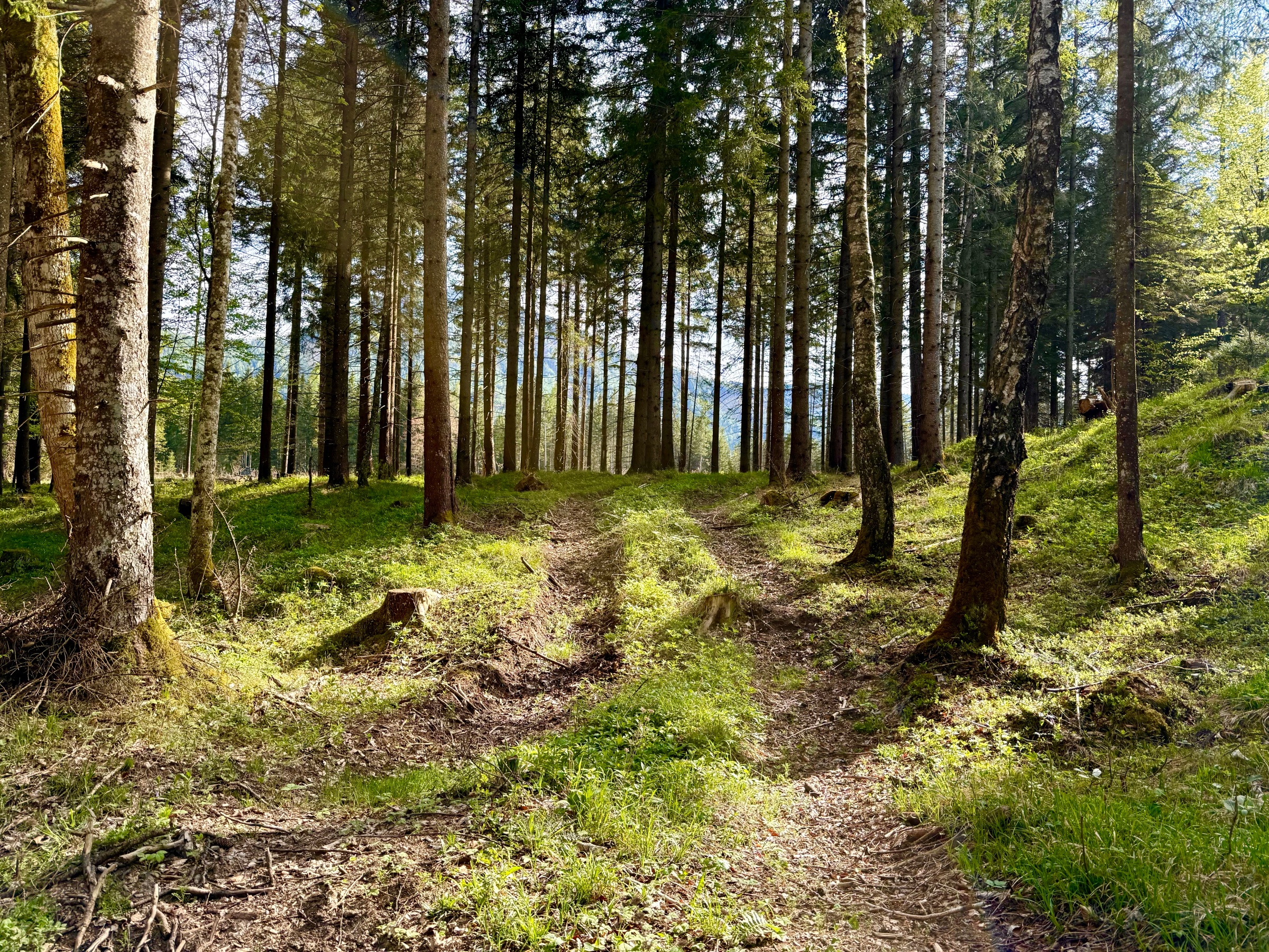
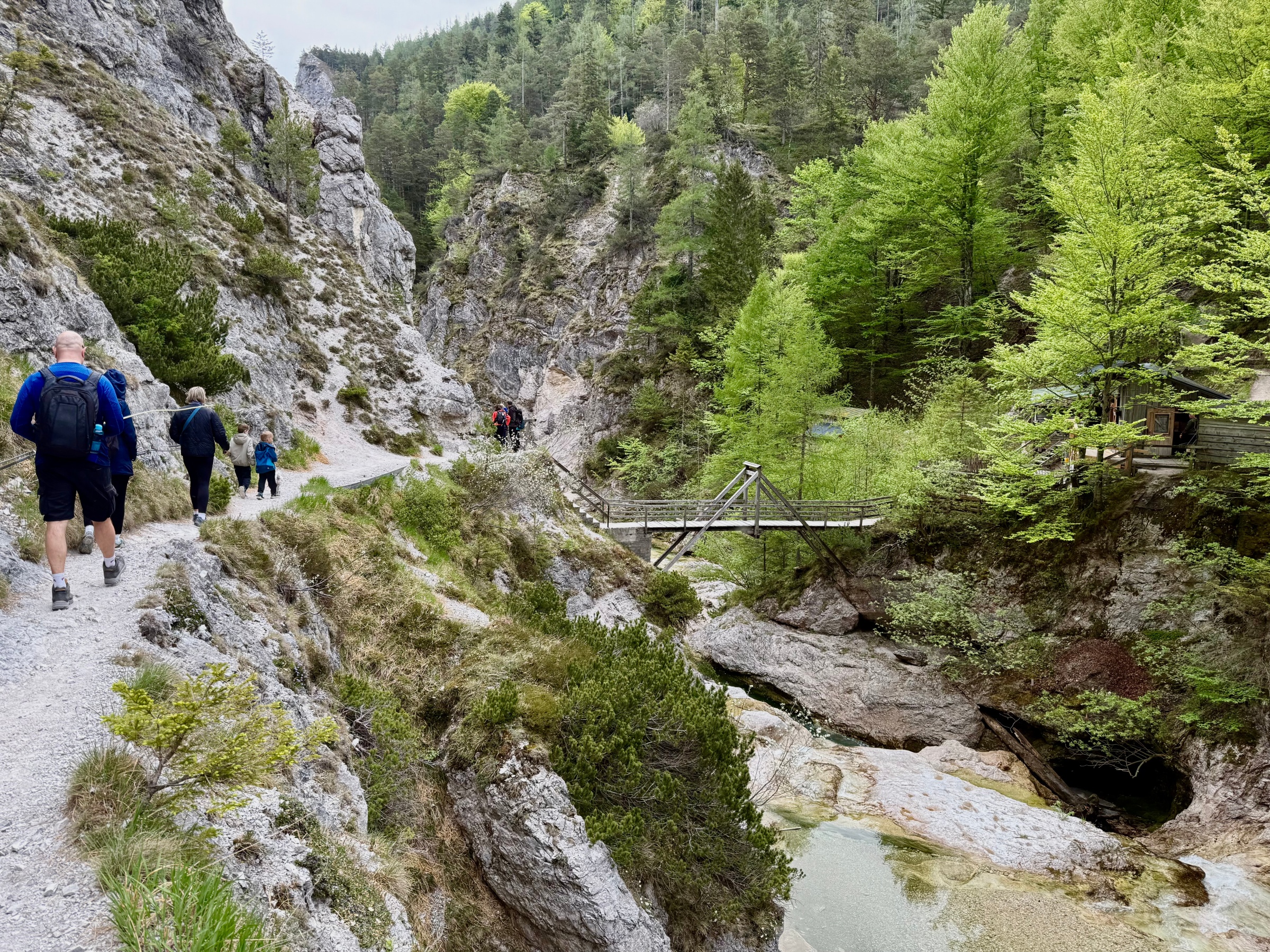
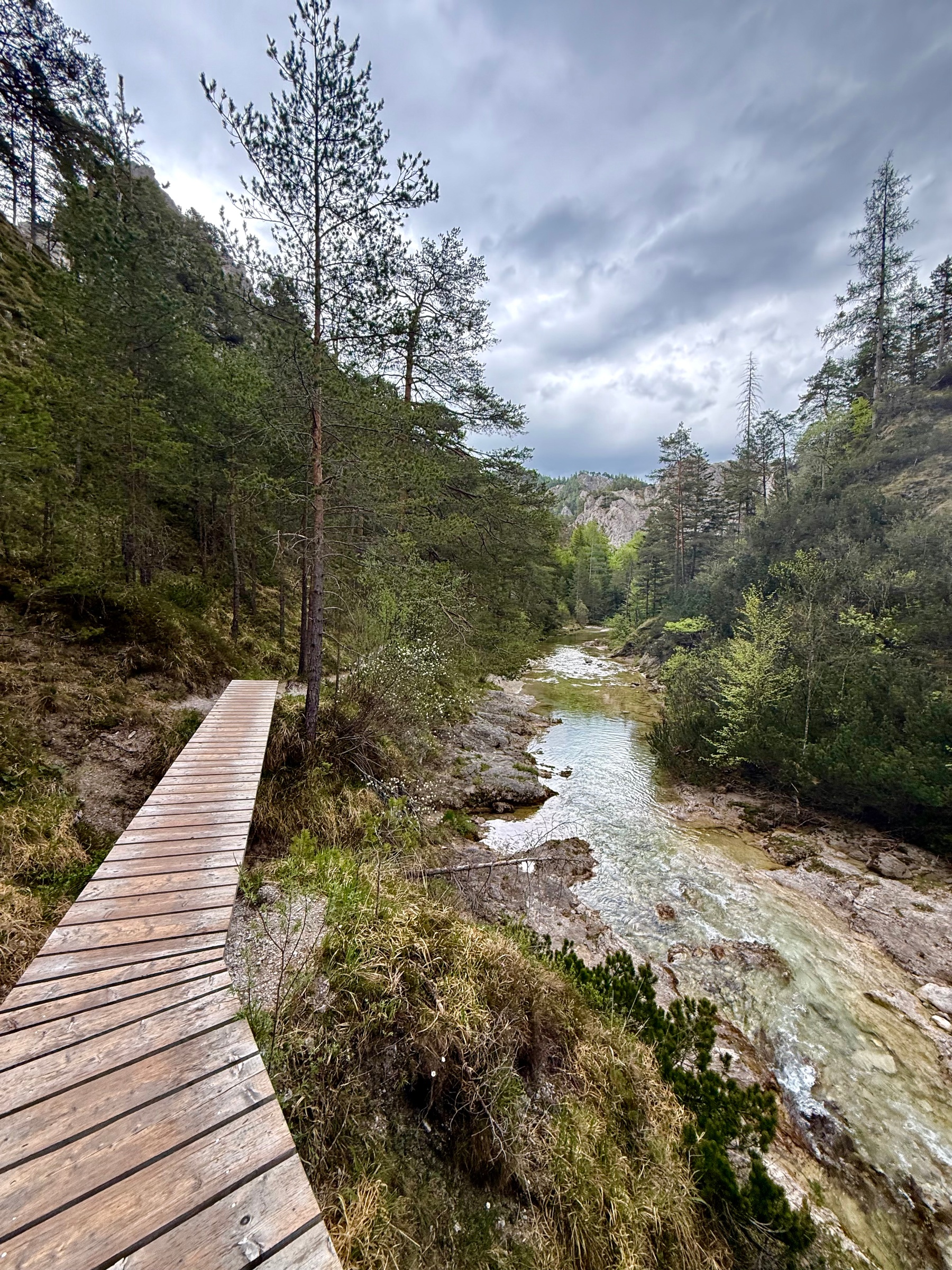
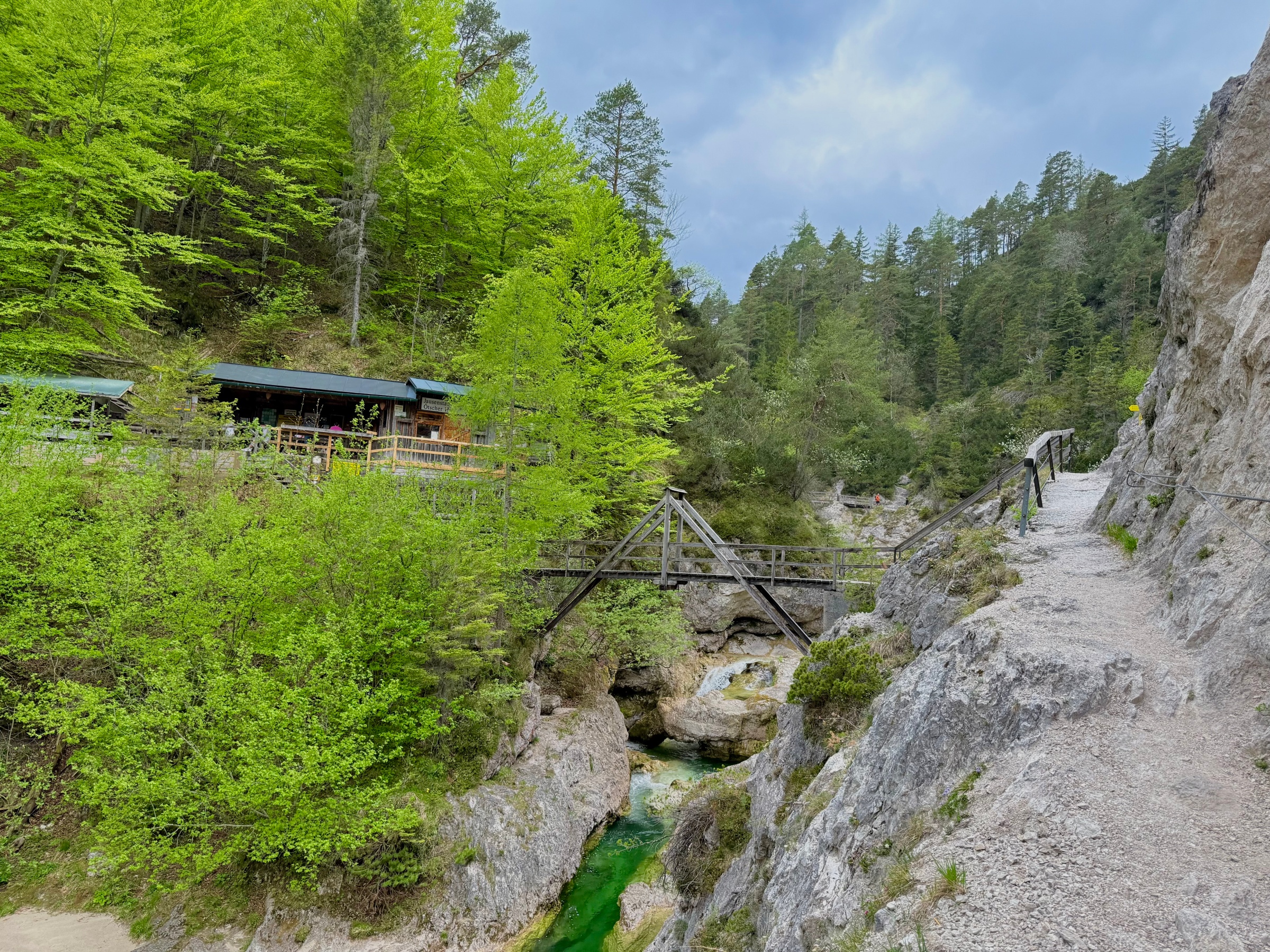
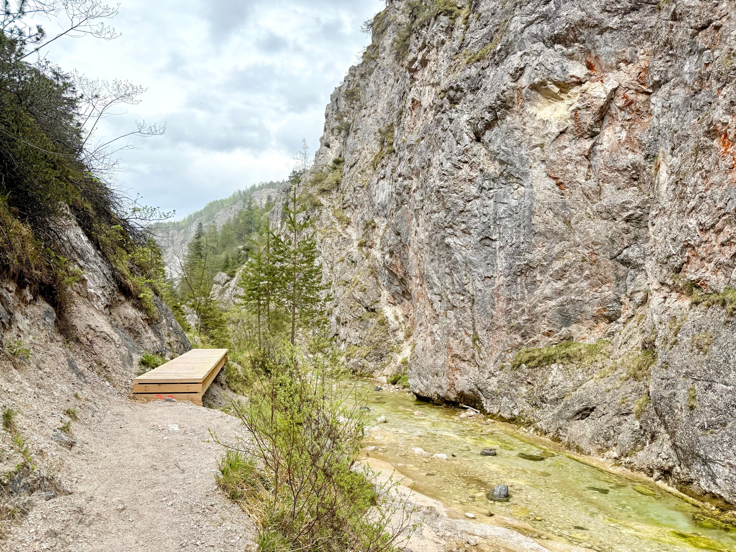
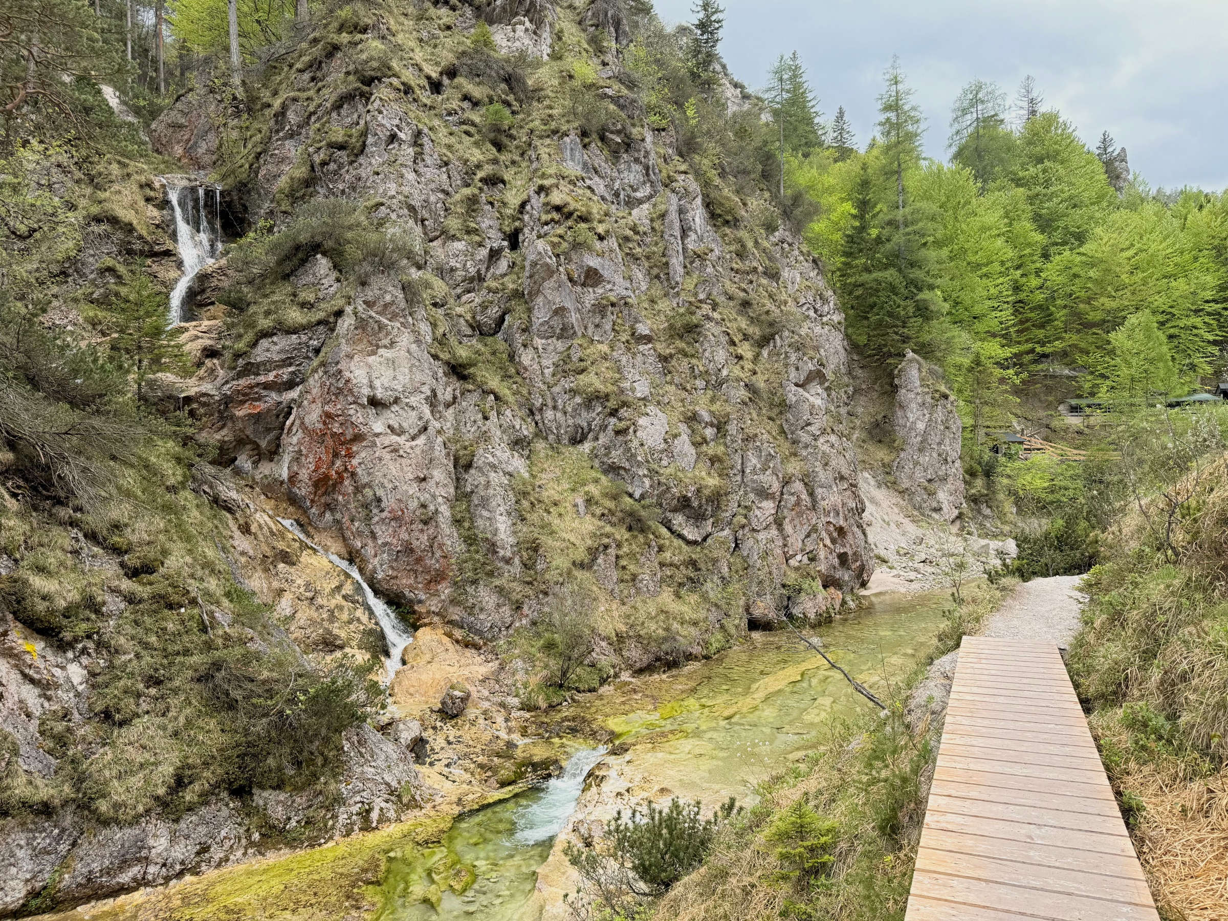
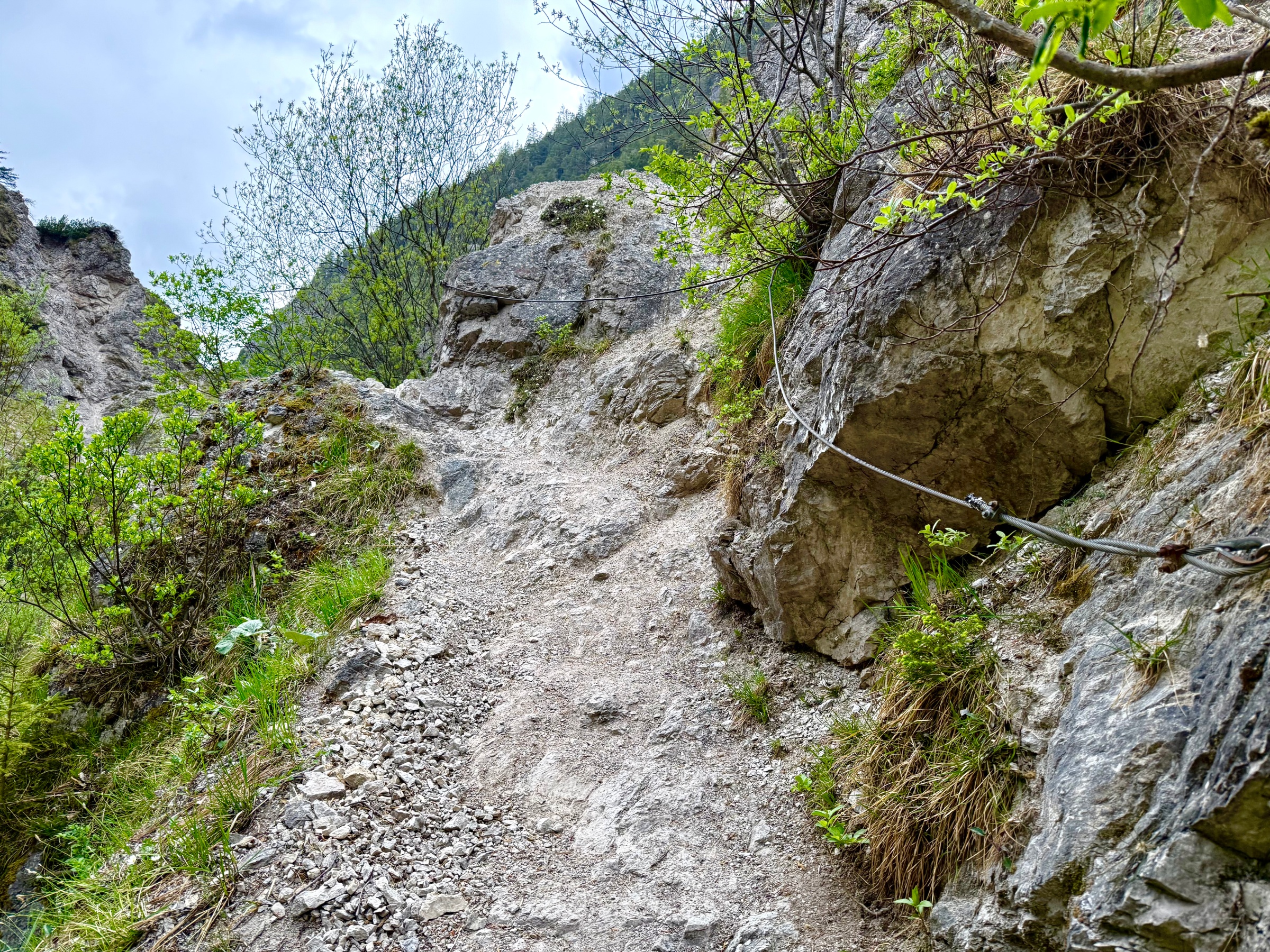
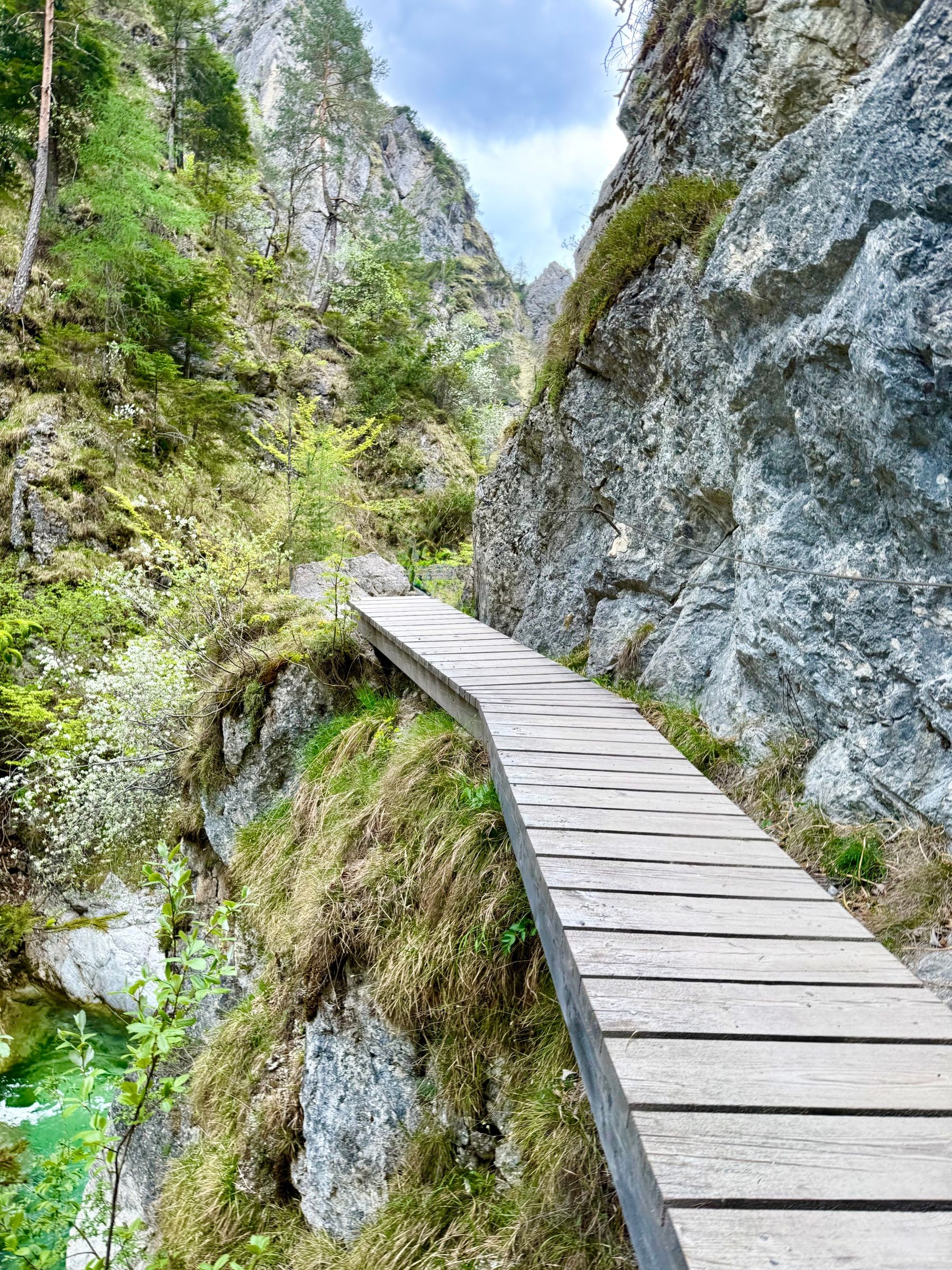
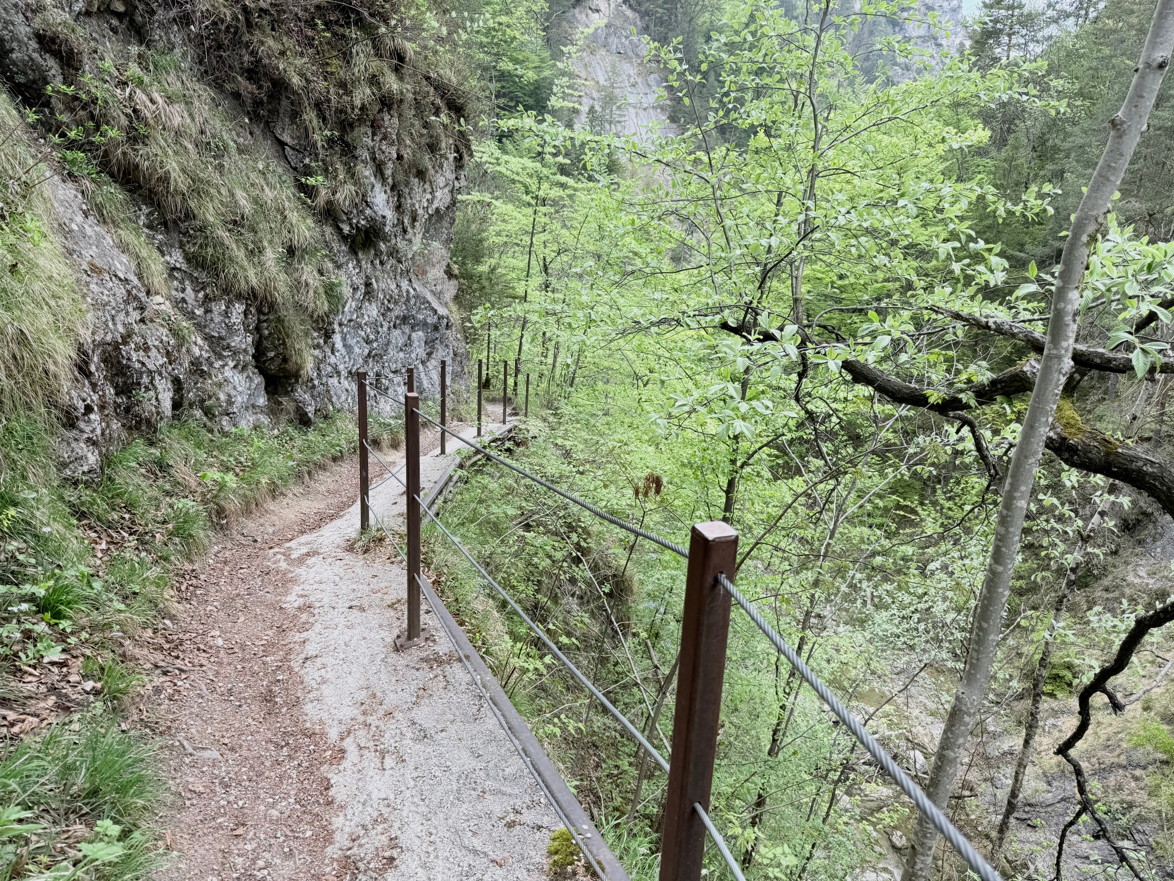
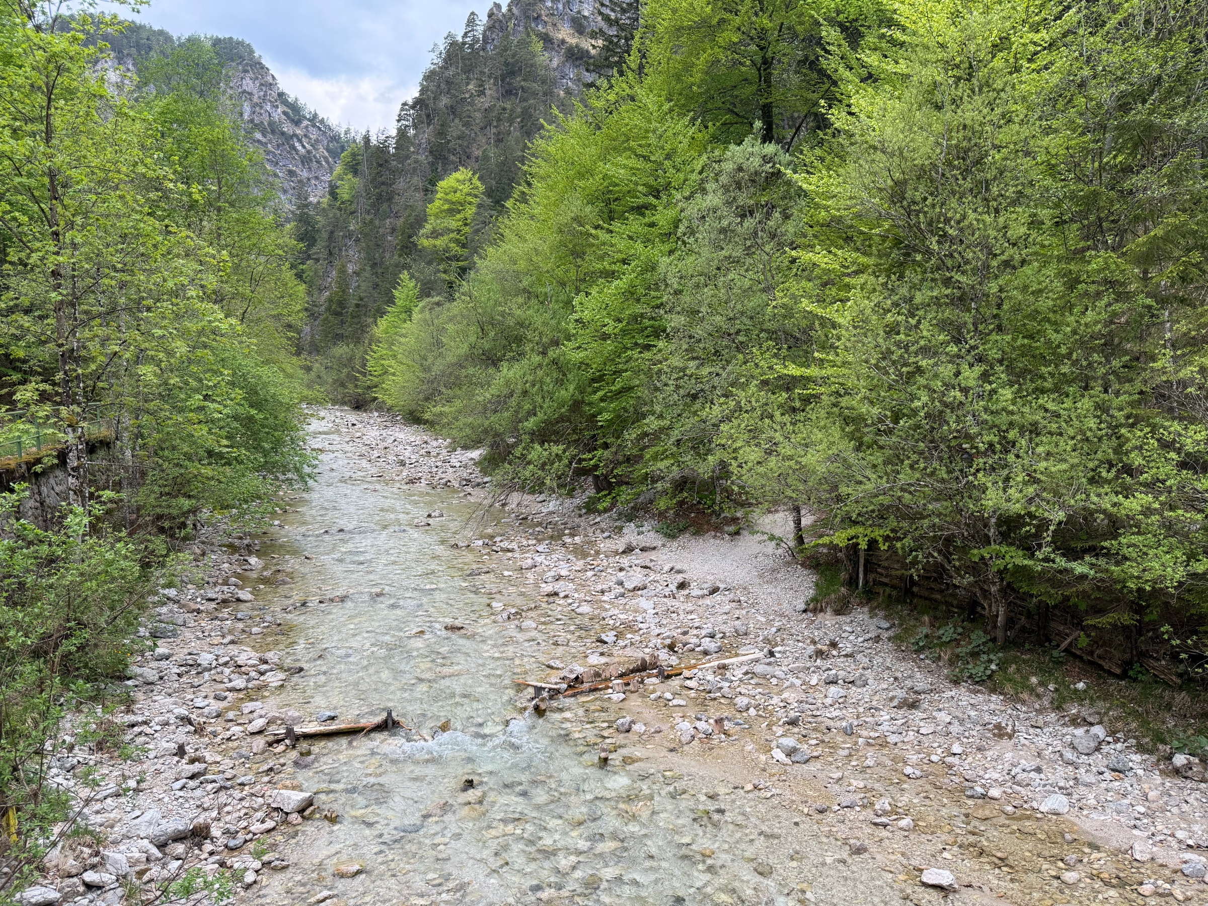
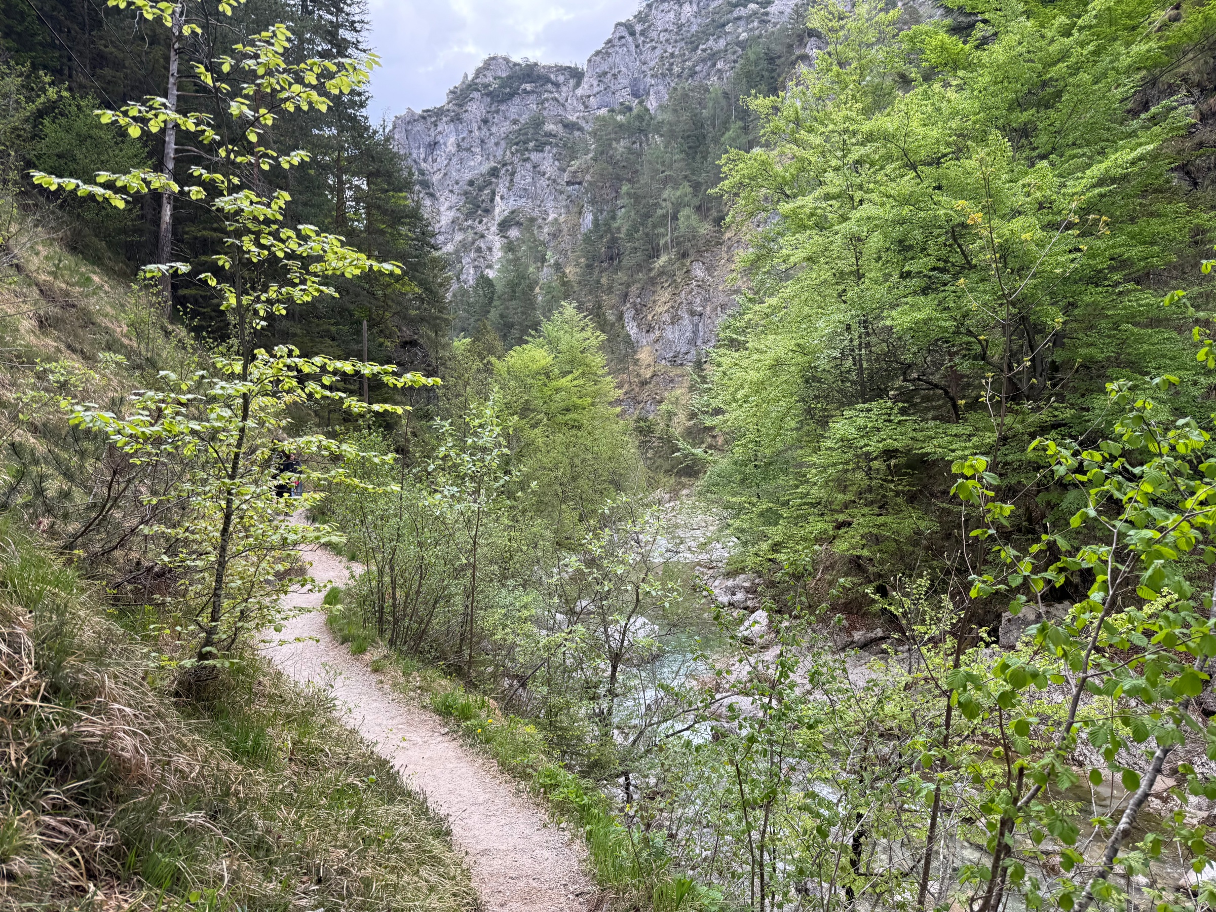
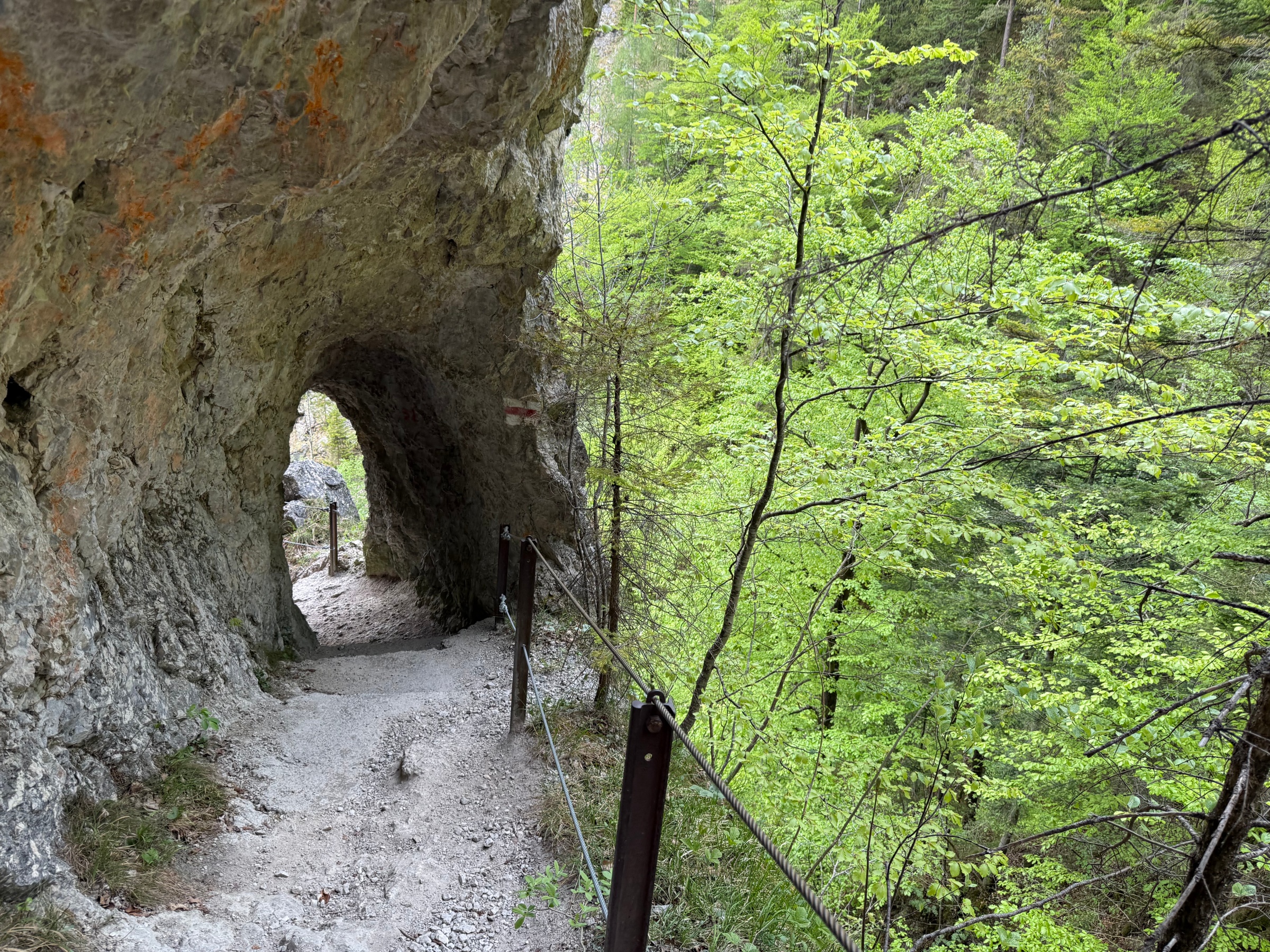
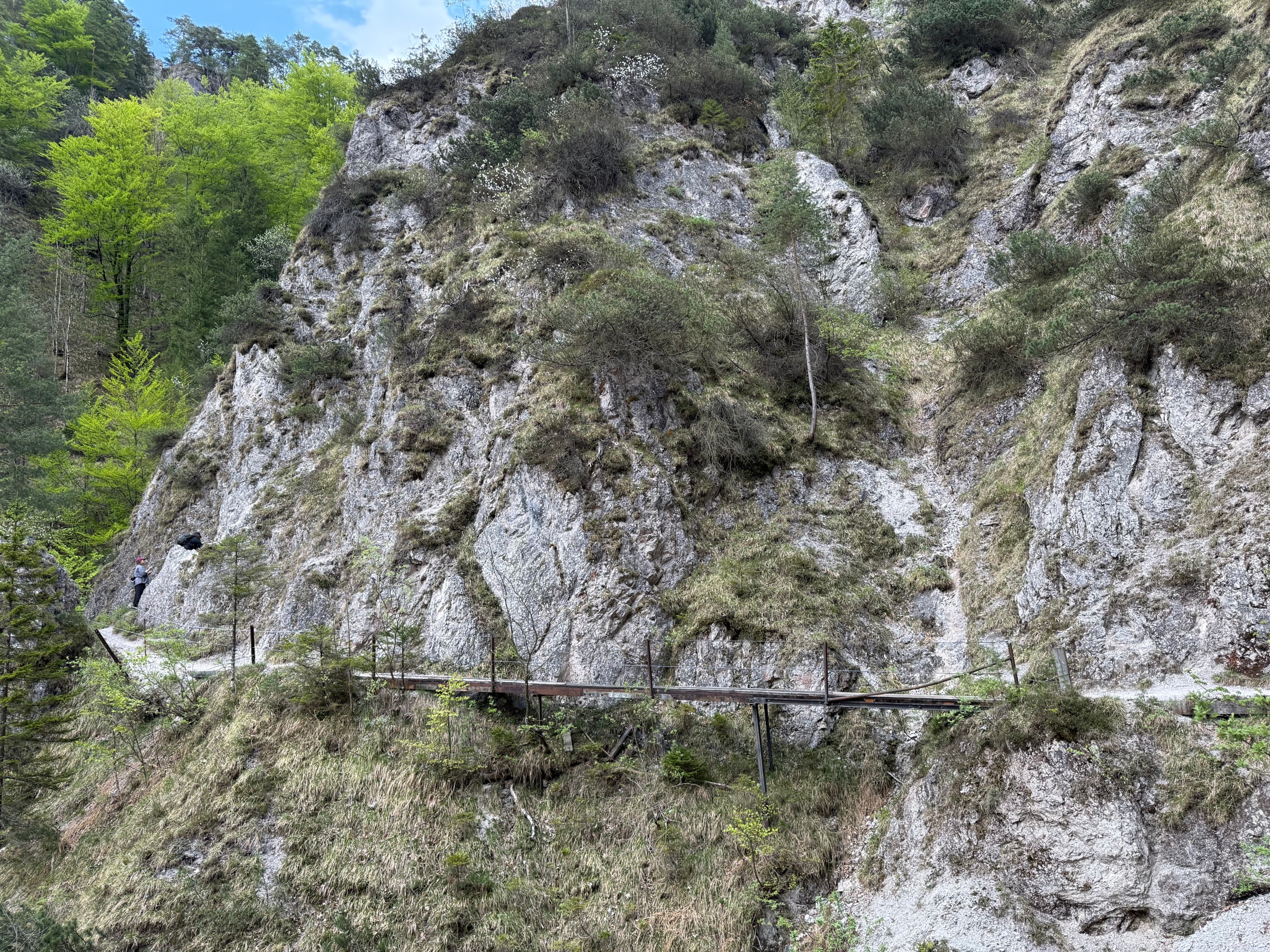
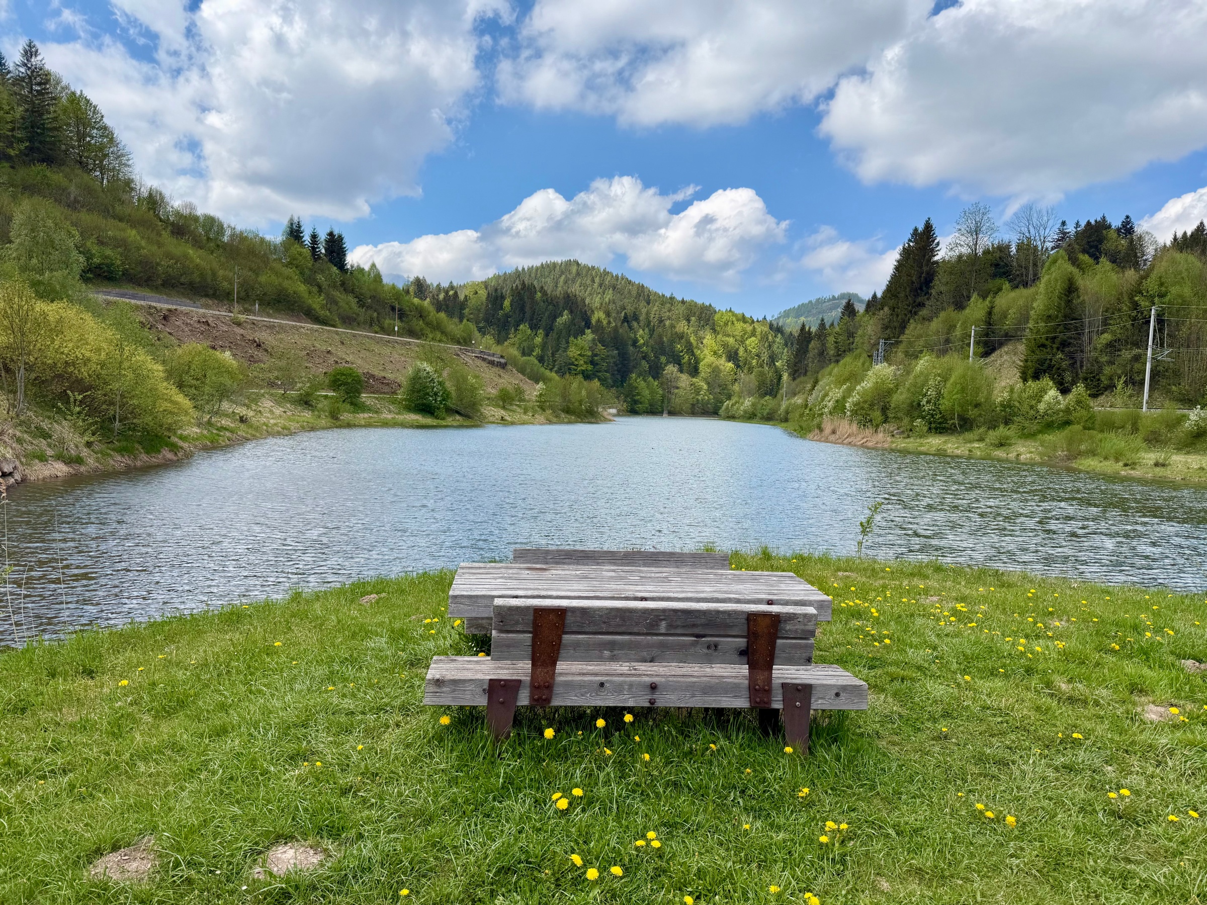
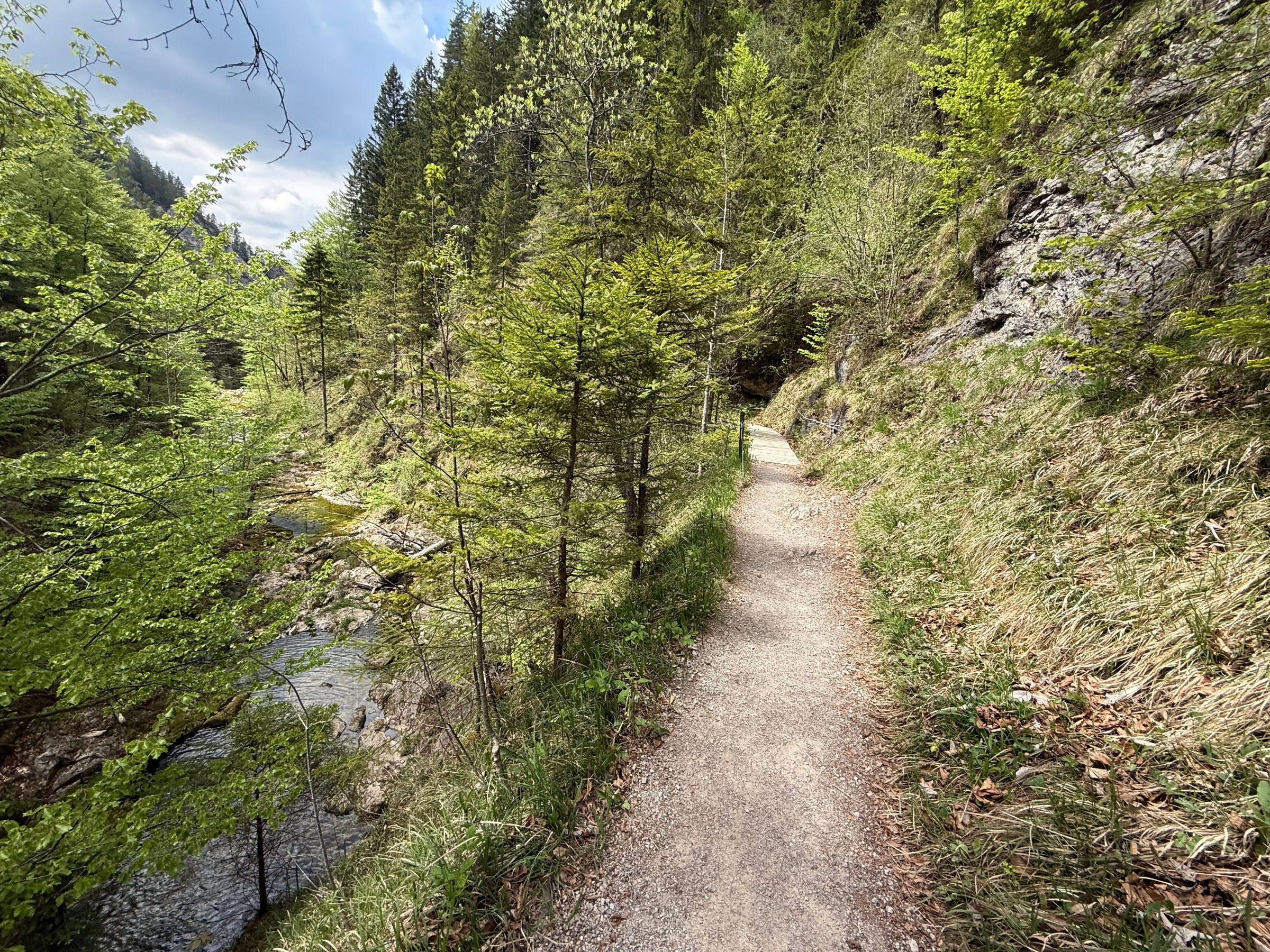
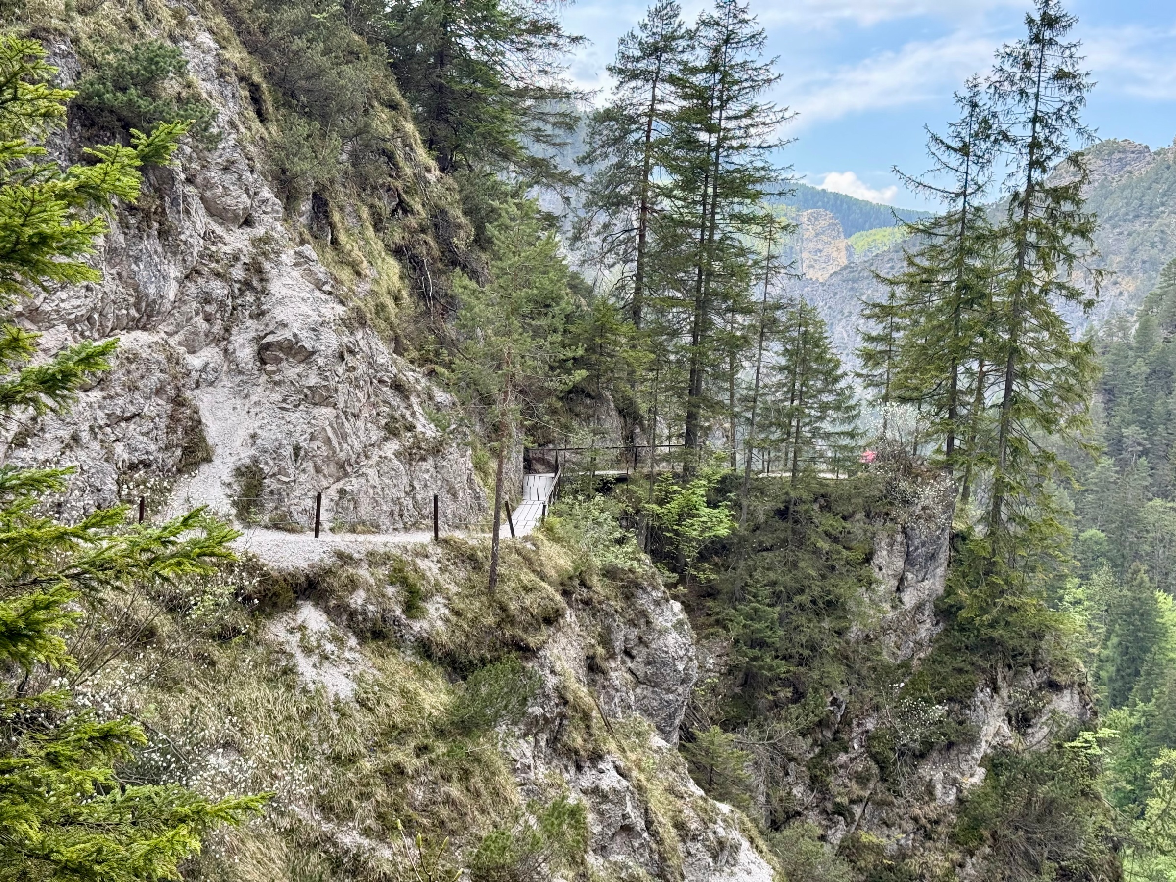
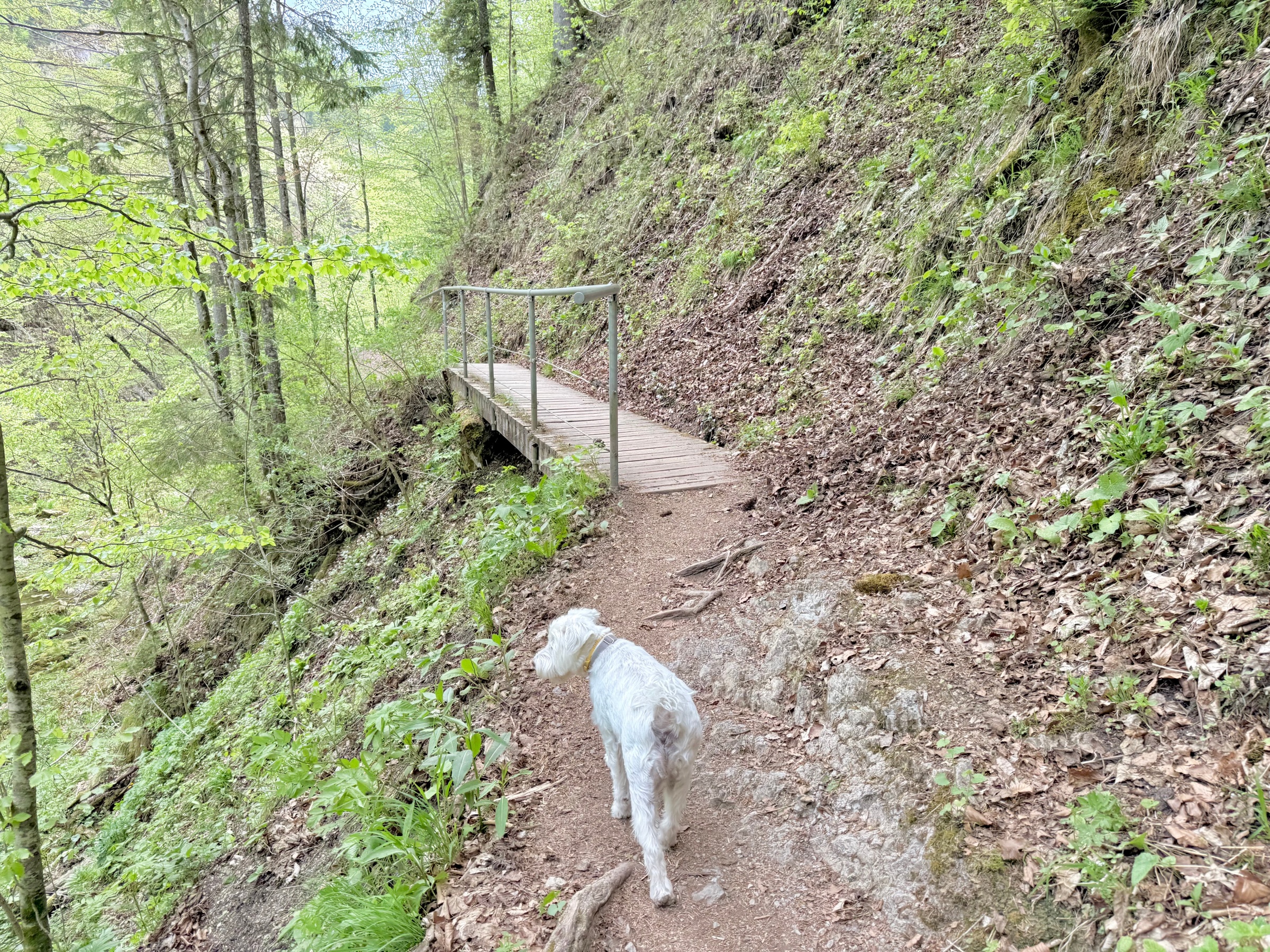
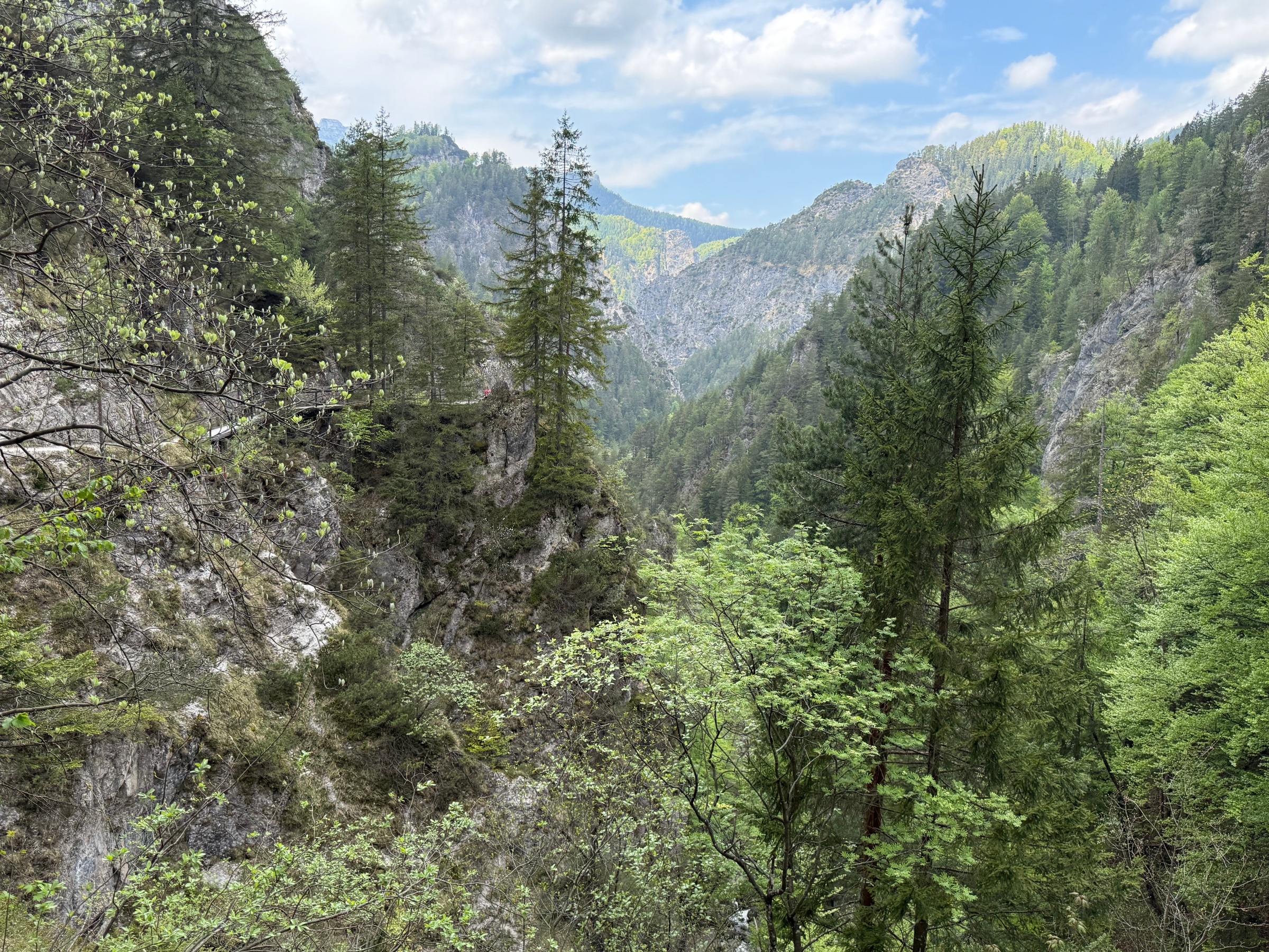
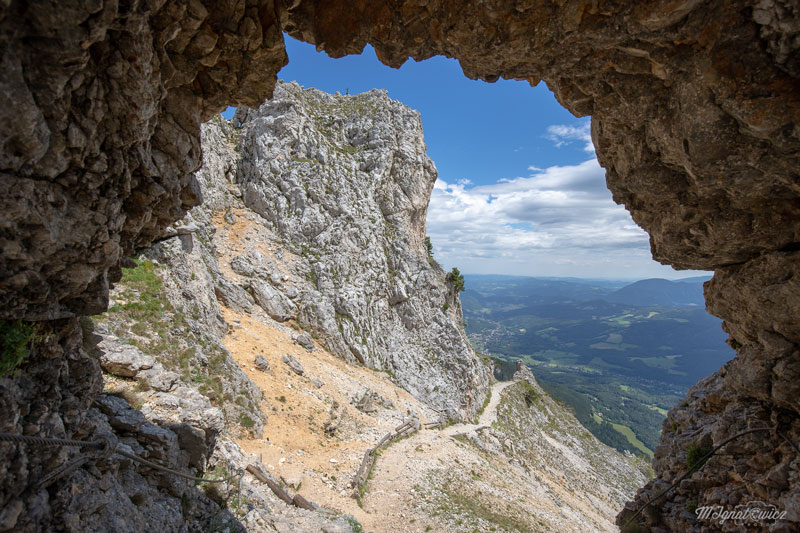
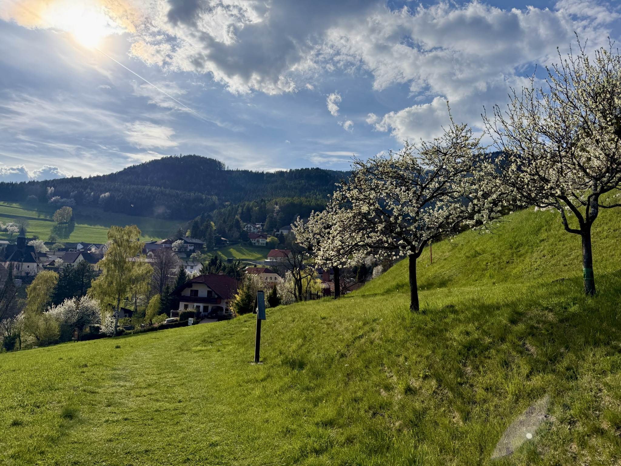
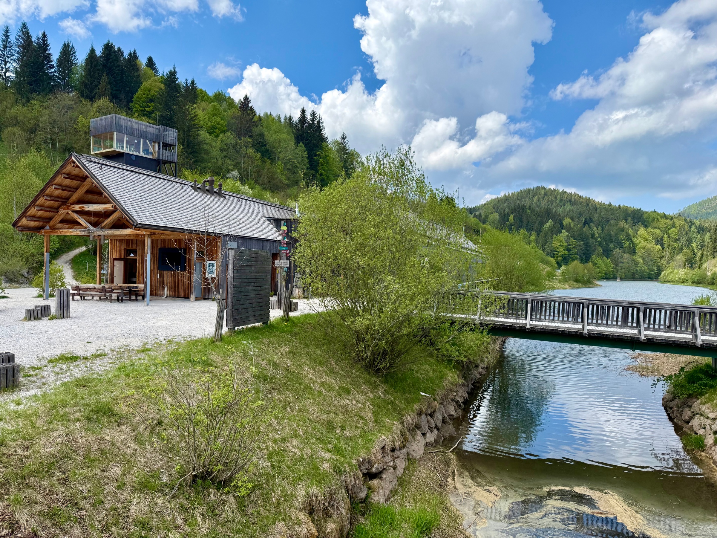
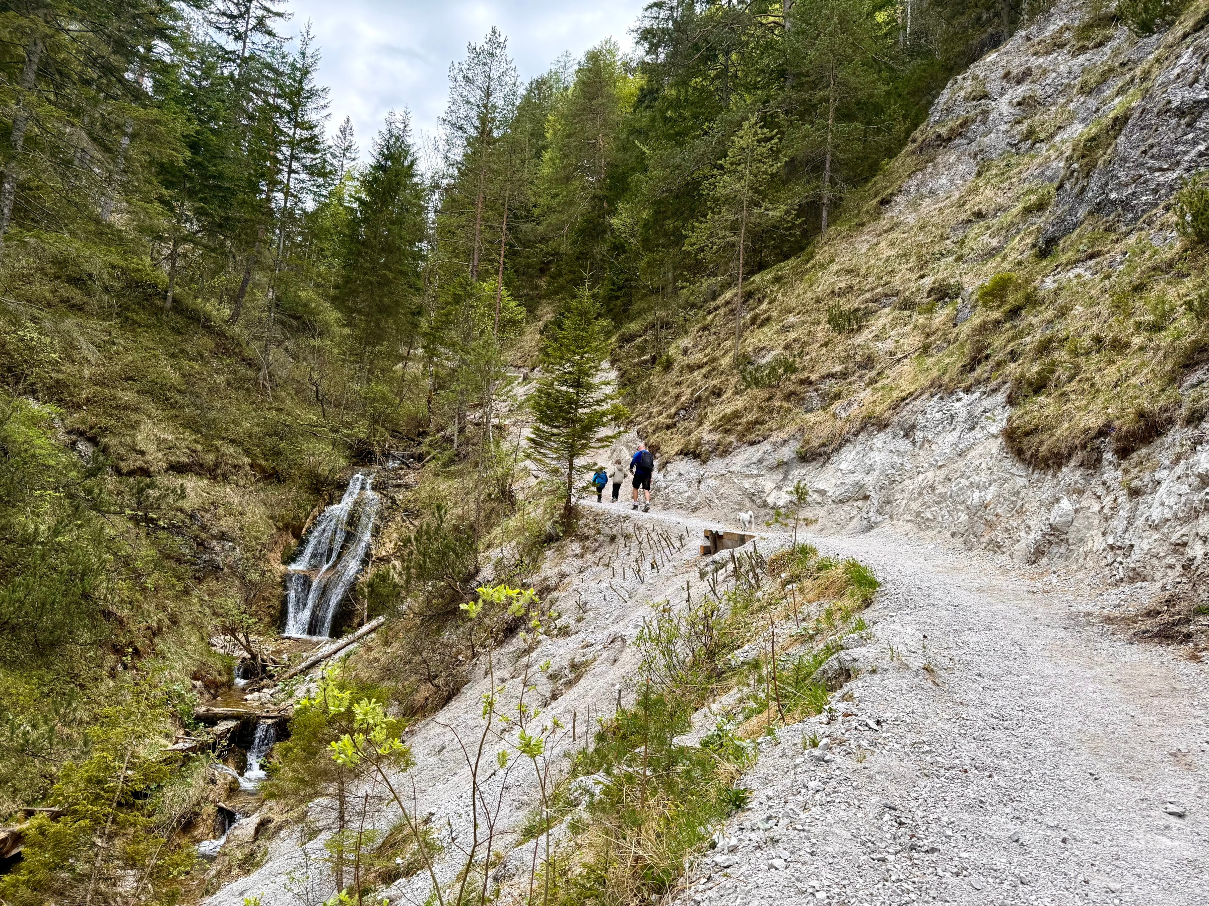
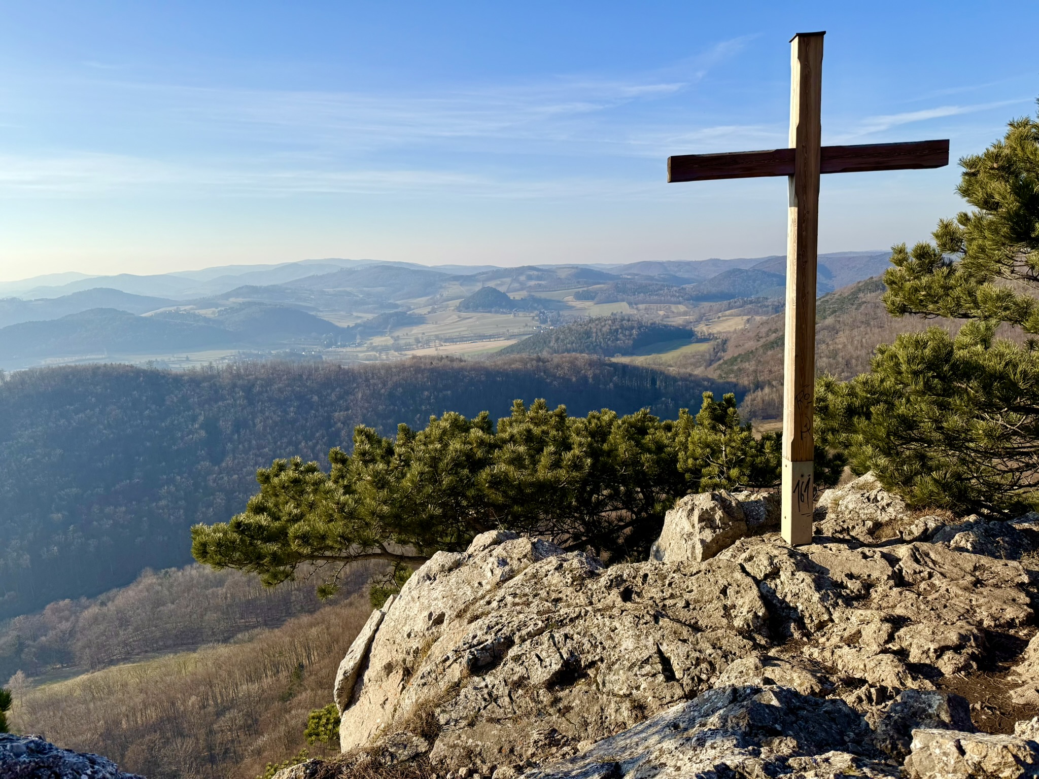
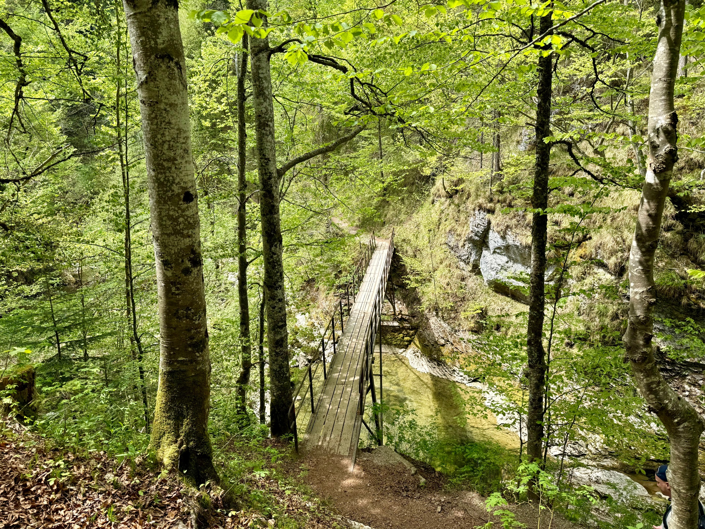
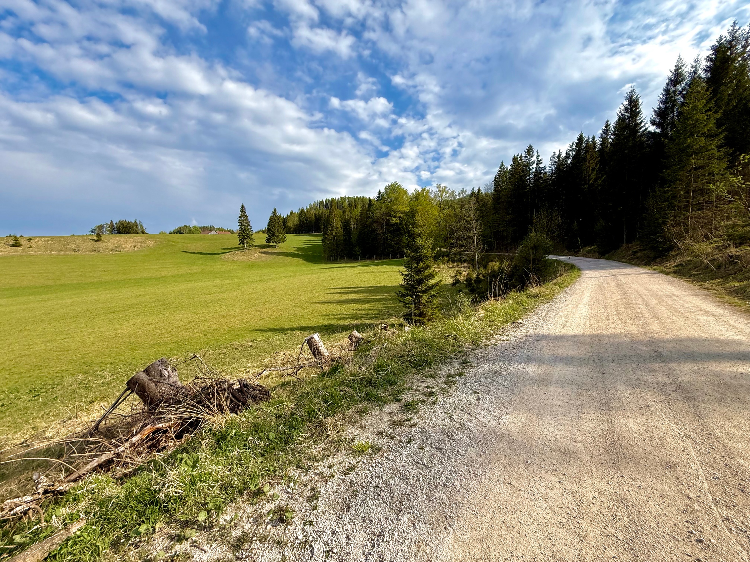
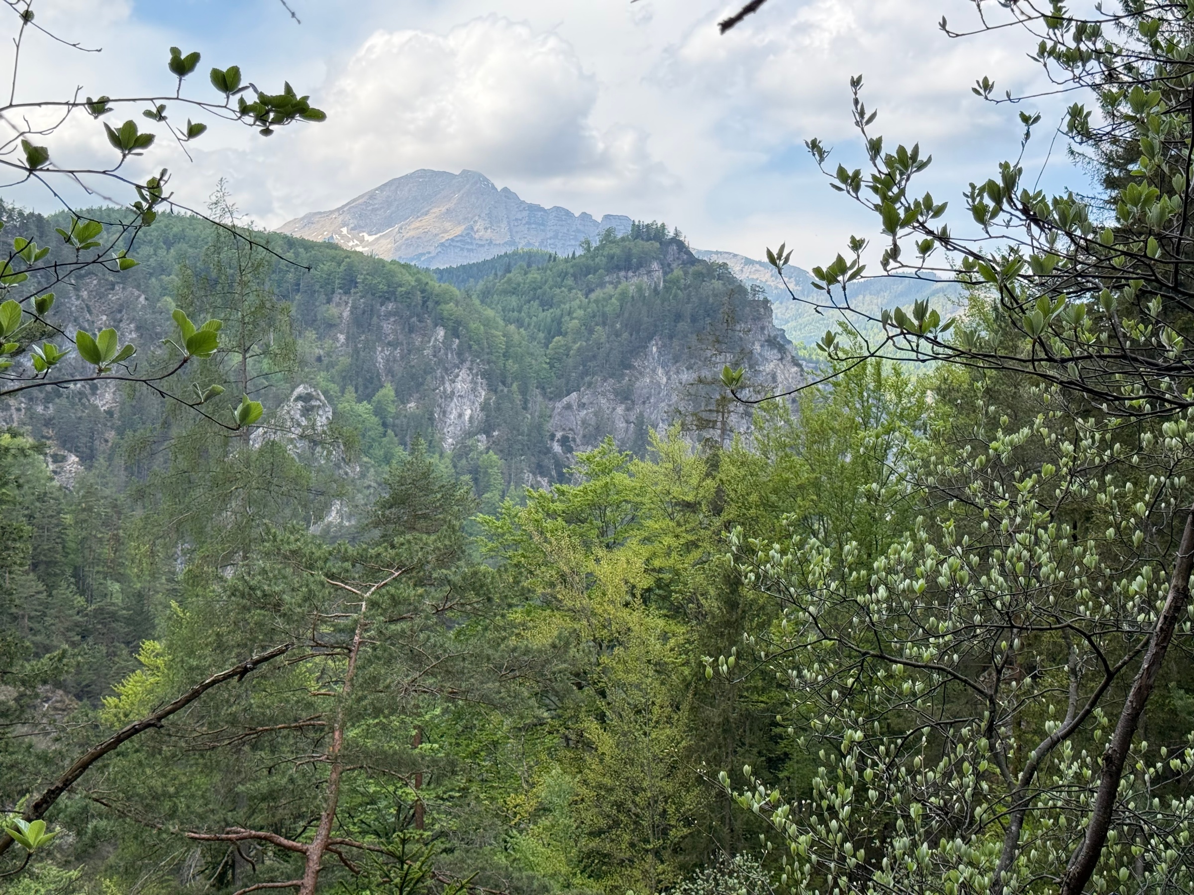
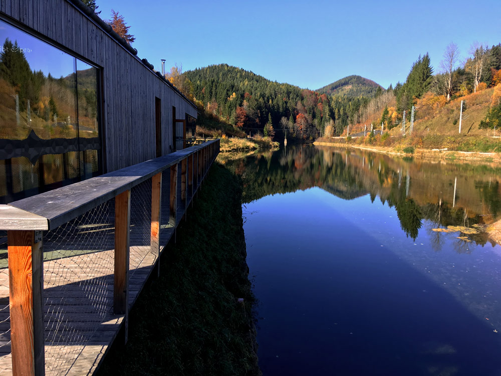
Niederösterreich · AT

Austria's Grand Canyon for the Whole Family

Duration 5h
Distance 14.0 km
Ascent 325 m
Descent 301 m
Medium 5h 14.0 km 616 – 835 m

Introduction

One autumn day while searching for inspiration for a day trip, I came across Ötschergräben in Naturpark Ötscher Tormäuer. The enticing description "Austria's Grand Canyon" motivated me to check out the route more carefully. Did it deserve this proud title? Find out in the latest post!
At the Foot of Ötscher Standing at 1893 meters high, Ötscher is called the Fuji of Lower Austria and hides a small treasure in its shadow - a gorge called Ötschergräben. Wooden walkways make discovering this interesting place easier and enable families with children or elderly people to explore it. Along the route there are several narrow-gauge railway stations, thanks to which we can adjust its length to our physical and time capabilities and easily return to the car. The cost is a few euros, definitely worth it. This entire treasure is located less than two hours from Vienna. Located just around the corner, Mariazell and Erlaufsee, with proper time organization and favorable weather, create a great proposition for an interesting Sunday for the whole family!   
Canyon, Here I Come We start from the town of Wienerbruck at Ötscherbasis - the Naturpark information center and restaurant. After purchasing an entrance ticket with a train ride, motivated by the joyful warmth of the southern sun, we set off to discover the beauty of Ötschergräben. 
Naturpark Center - Ötscherbasis. This is where our adventure begins

First Stage of the Route

The spring greenery all around and the pleasant temperature made the route enjoyable. The location means I wouldn't count on huge amounts of sunshine during the hike. This is a huge advantage in the middle of hot summer. But equally often it can also be a disadvantage :) The first natural works of art made a really big impression on me, I couldn't wait for the rest of the show.


Beautiful view of Ötscher


The first part of the route has many short tunnels

The Gorge

Then the trail started going downhill until finally the gorge began - the main course of today's adventure. The immediate proximity of the swiftly flowing water, along with its relentless roar and beautiful, enchanting blue color, makes an otherworldly impression. See for yourself!

This water color is wonderful!
Now this is the way to hike!


For me, this was the most beautiful part of this trail. About an hour passed before we saw Ötscherhias, a place where you can quench your parched throat or find something for your stomach. 

Ötscherhias

Mirafall

Having spare time, we decided to go a bit further to discover another waterfall - Mirafall. The route to it takes another half hour and about 1.5 kilometers. The trail looks similar to before - but goes a bit higher above the water.
Mirfall

Unfortunately, the waterfall wasn't as impressive as in early spring - with the current drought I didn't expect anything else. You can continue uphill to Greimelsteg which will take you to Schutzhaus Vorderötscher. Then back down. Additional time in total - about 3 hours. Note that this is an additional 650 meters of elevation gain, and the trail itself has a more alpine character.   
Or how about two alpine days in Ötscher country. If you want to experience two unforgettable days in a mountain setting, I recommend considering the option with an overnight stay at Ötscher Schutzhaus at 1418m above sea level. On the second day, you can descend via the summit and Rauer Kamm to your car. I haven't tried this variant, but I'm considering checking it out this season :) 
WARNING!! This variant is already quite a difficult mountain trail, I advise people without experience, and above all without equipment, against taking Rauer Kamm.   

Final Stage

We, however, went left past Ötscherhias through the forest towards Erlaus Stausee and further to the narrow-gauge railway station which took us back to the car. Once again, I remind you to check the timetable well in advance.
The last section of the route also has its charm!


Ötschergräben is behind us, but this is not the end of today's adventure, because I have a little bonus for you, namely...   

Idea for a Summer Day 

After Ötschergräben, it's definitely worth visiting the charming Erlaufsee. Strandcafe serves good and tasty food![/caption] I would like to present you with an example scenario for a varied family Sunday in those areas. With proper time organization, you can spend a really interesting day with the whole family. The given times are approximate, there's no need to follow them to the minute. Important: Take cash with you from Vienna - there's no ATM in Wienerbruck. There's not much more to write, let's begin!   8:00 - Departure from Vienna 10:00 - Arrival at Wienerbruck Ötscherbasis 14:00 - hiking through Ötschergräben with a break at Ötscherhias, return by train (check the timetable!) 14:30 - lunch at Strandcafe by Lake Erlaufsee, then relaxation on the beach - they have very good fish! 16:30 - visit to Mariazell, one of the most important places of Marian worship in Europe   Alternatively, instead of Mariazell, you can extend your stay by the lake, which is also an interesting alternative.   

In Summary

Maybe "Austria's Grand Canyon" is a slightly exaggerated statement, considering what can be found in other parts of this Alpine country. However, this place is worthy of attention and I recommend considering it when looking for an idea for an interesting trip. It doesn't matter whether it's a family day trip or a real mountain adventure with an overnight stay in a mountain hut. Everyone will find an option for themselves here. Besides, there's not much more to add. You've seen the photos, haven't you?   
Difficulty Medium
Duration 5h
Length 14.00 km
Ascent 325 m
Descent 301 m
Highest Point 835 m
Lowest Point 616 m
Region Niederösterreich
Country AT
OutdoorActive Outdooractive Link

Coordinates

Starting Point

Wienerbruck

Latitude: 47.856042
Longitude: 15.306519

Ending Point

Wienerbruck

Latitude: 47.856042
Longitude: 15.306519

Starting Point

Latitude: 47.856042
Longitude: 15.306519

Open in Google Maps
Ending Point

Latitude: 47.856042
Longitude: 15.306519

Open in Google Maps

325 m

Total Ascent

301 m

Total Descent

835 m

Highest Point

616 m

Lowest Point

This is a simplified elevation profile showing the highest and lowest points of the trail. For a detailed GPS-tracked elevation profile, please use a dedicated hiking app.

Share this trail

Facebook WhatsApp
Routes

You might also like