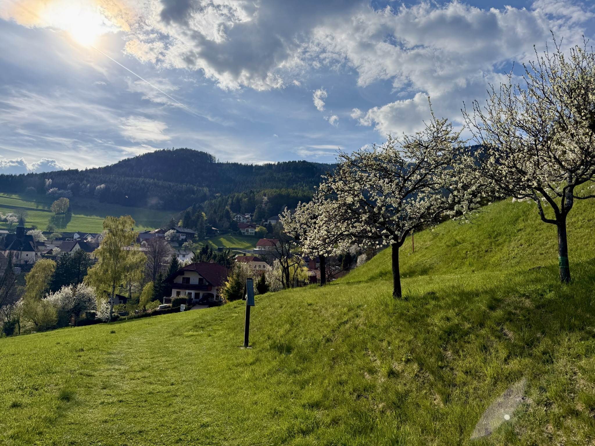
I recently found a pleasant via ferrata nearby, ideal for the very beginning of an adventure with these routes. It's short, easy, with a mountain hut at the top. And close to Vienna. What more could you want for a pleasant start to your adventure with iron paths? Hanselsteig is located in the Hohe Wand massif, a relaxed hour from Vienna. This massif is known for its multitude of climbing routes and ferratas. Short approaches to the routes are a huge advantage here, as is the fact that there's usually some mountain hut waiting for us at the top :) It's no different in the case of today's guest. Kohlröserlhaus awaits us with its food and drink (TIP: about 100m before it there's an apiary where they sell mountain honey for 12 euros/liter), and the approach to the route is a relaxed half hour. The ferrata itself is another half hour of adventure. It's been rated difficulty B, though it's a very easy B. There are only two places with this difficulty. A via ferrata set is not necessary to complete it (unless you have a panic fear of heights, or you're going with children) and in dry weather there shouldn't be much risk. The only essential piece of ferrata equipment is a helmet and you can't forget about it—sometimes (especially on weekends and holidays) this trail can get quite crowded. If you don't have a climbing helmet yet, a bicycle one will do in a pinch. There's a chance your head will sweat a bit then. But you'll survive—the trail isn't long :) There's not much more to write about...
.... time to hit the trail! I left my car at
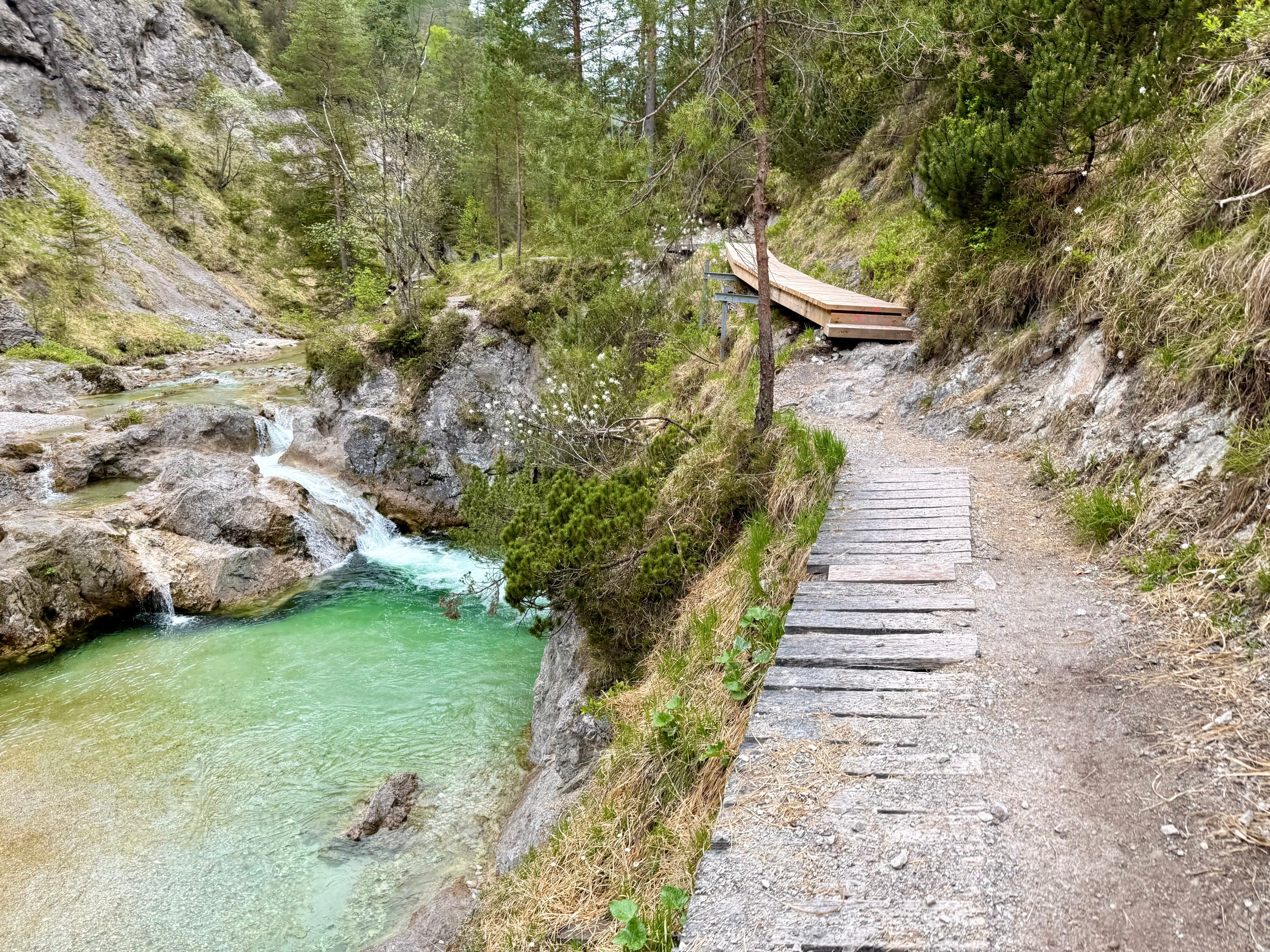
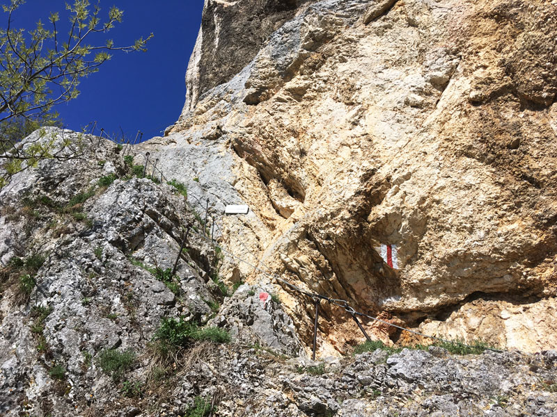
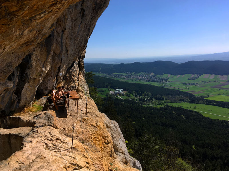
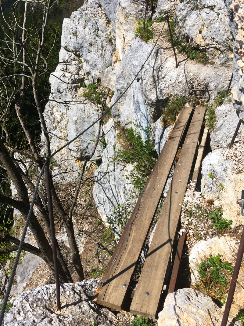
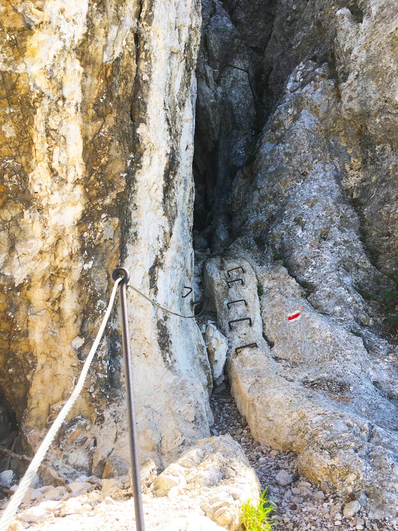
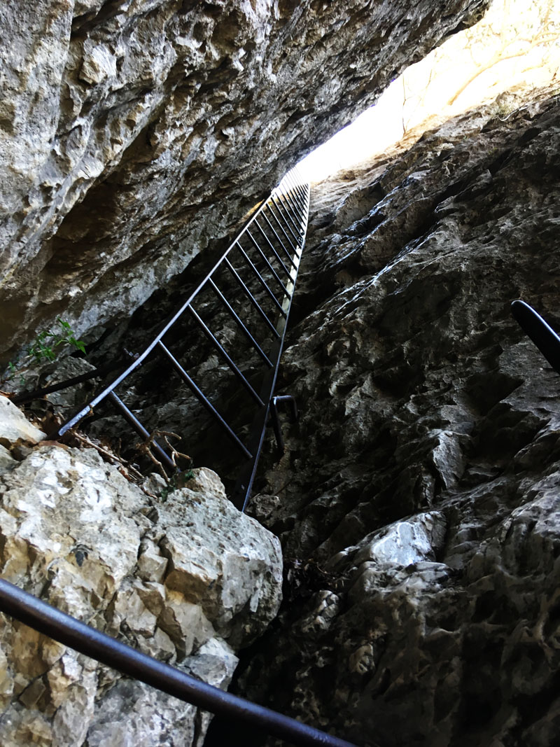
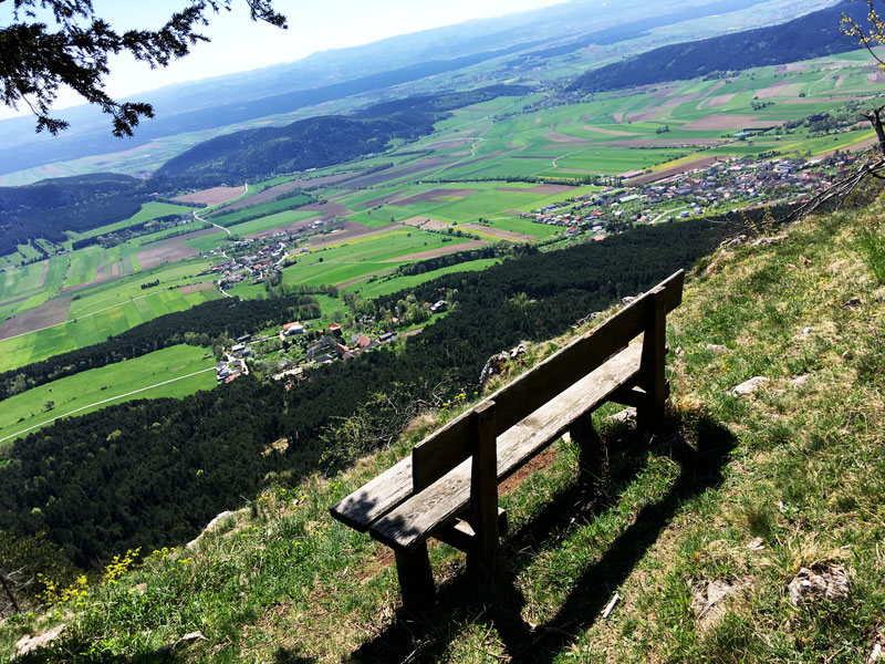
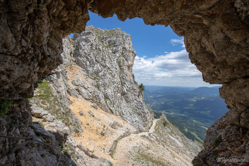
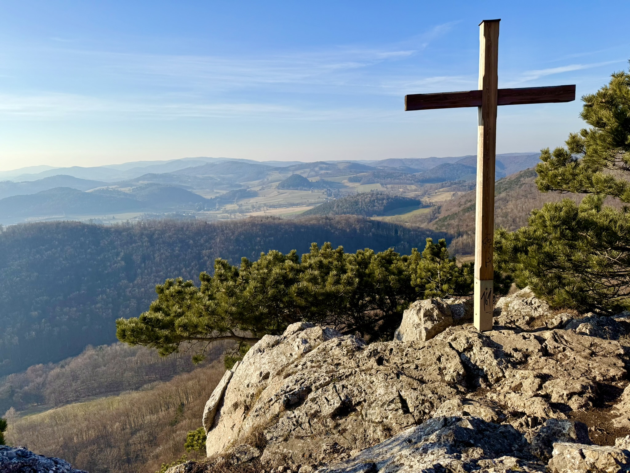
Loderhof. Horses resting in the farmyard were enjoying the beautiful weather, glancing at me lazily. The first minutes of the approach were gentle, but only those very first ones. Over time it got increasingly steeper—a first-class warm-up. Finally the views began and warm-colored rock appeared, characteristic of Hohe Wand. And finally the first iron. But first, helmets on, ladies and gentlemen! A few steps higher I encountered a very atmospherically placed bench. Unfortunately, as you can see, it was already occupied. So I moved on to the next cable handrails, this time a bit steeper. But equally short. Then a small bridge appeared on my path, two steps further rocks returned under my boots. Finally I saw the beginning of the main course of Hanselsteig. That is, the first steel steps disappearing among rocks promising pleasant coolness. I quickly made my way through them and came upon a ladder going at a funny angle. The rocks acted like air conditioning on this hot day. A moment of climbing later, forest scenery returned. But this time with a pleasant view in the background. On this last section of the route, short and simple sections with cables appeared, along with one small bridge. No stress, but first-class sensations. Finally I reached the road. Here you have a choice—either turn left for 5 minutes to Kohlröserlhaus, where you can eat something, have a drink (or continue exploring Hohe Wand). Alternatively, you can immediately choose the return route. [caption id="attachment_750" align="aligncenter" width="800"] on the return route you can come across treats like this[/caption] It leads first through a forest playground, then through a natural educational trail with different tree varieties. Each of them is interestingly described. I recommend it for families with children! A moment later I came upon a sign directing me to the starting point. From here there were about 45 minutes of forest descent left.
To sum up, this is an ideal route for people with no experience with ferratas. Even people with a fear of heights shouldn't have much stress here. Also, the lack of need to have a harness or via ferrata set is not an obstacle here. In short—if you want to discover the charm of iron paths, get a helmet, fill up the car, check the weather and get to it! If you've caught the bug, I have good news for you. Soon I'll describe another interesting route. Also something for beginners, but this time you won't get by without a complete set of ferrata equipment.
This is a simplified elevation profile showing the highest and lowest points of the trail. For a detailed GPS-tracked elevation profile, please use a dedicated hiking app.