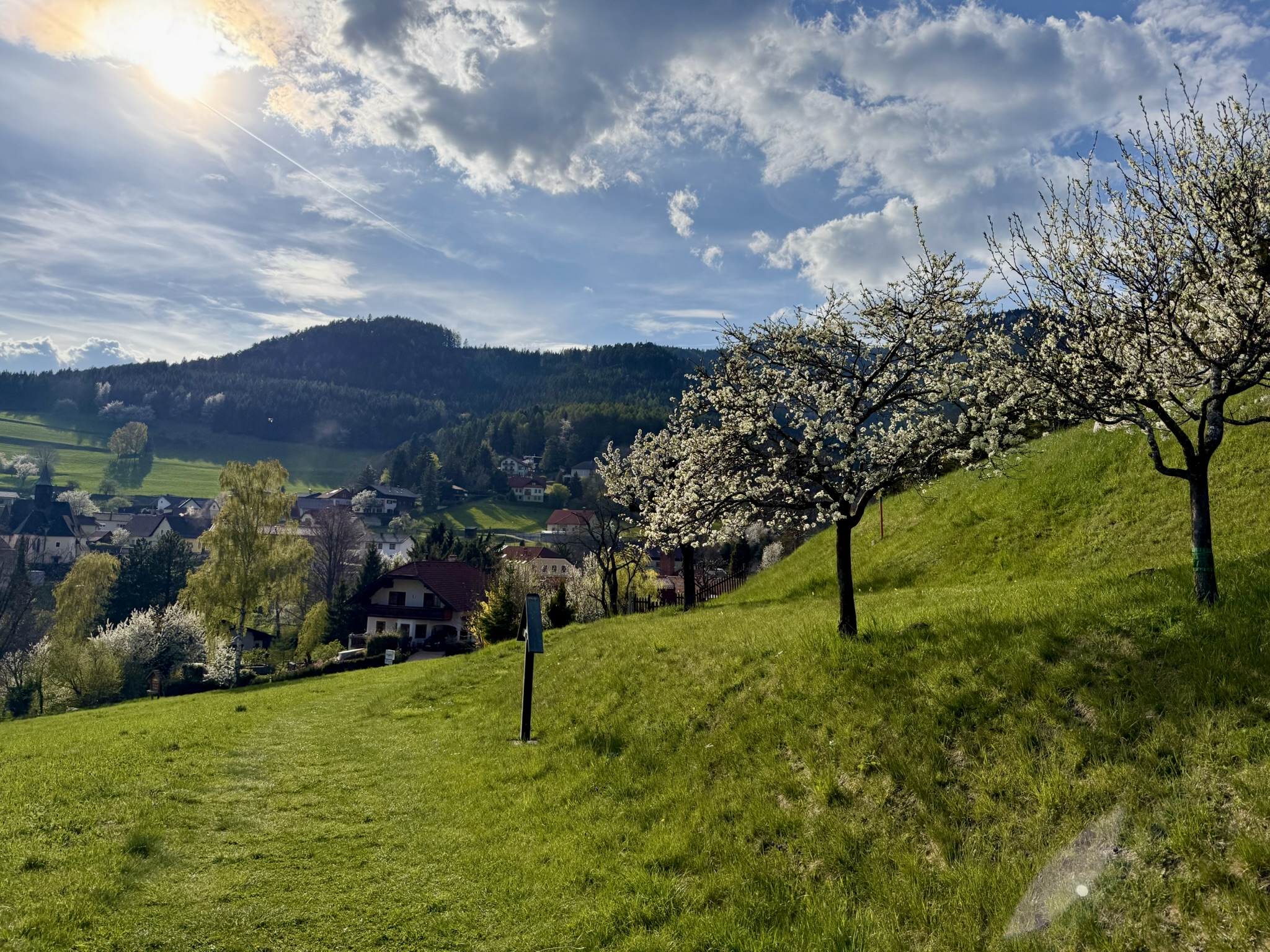
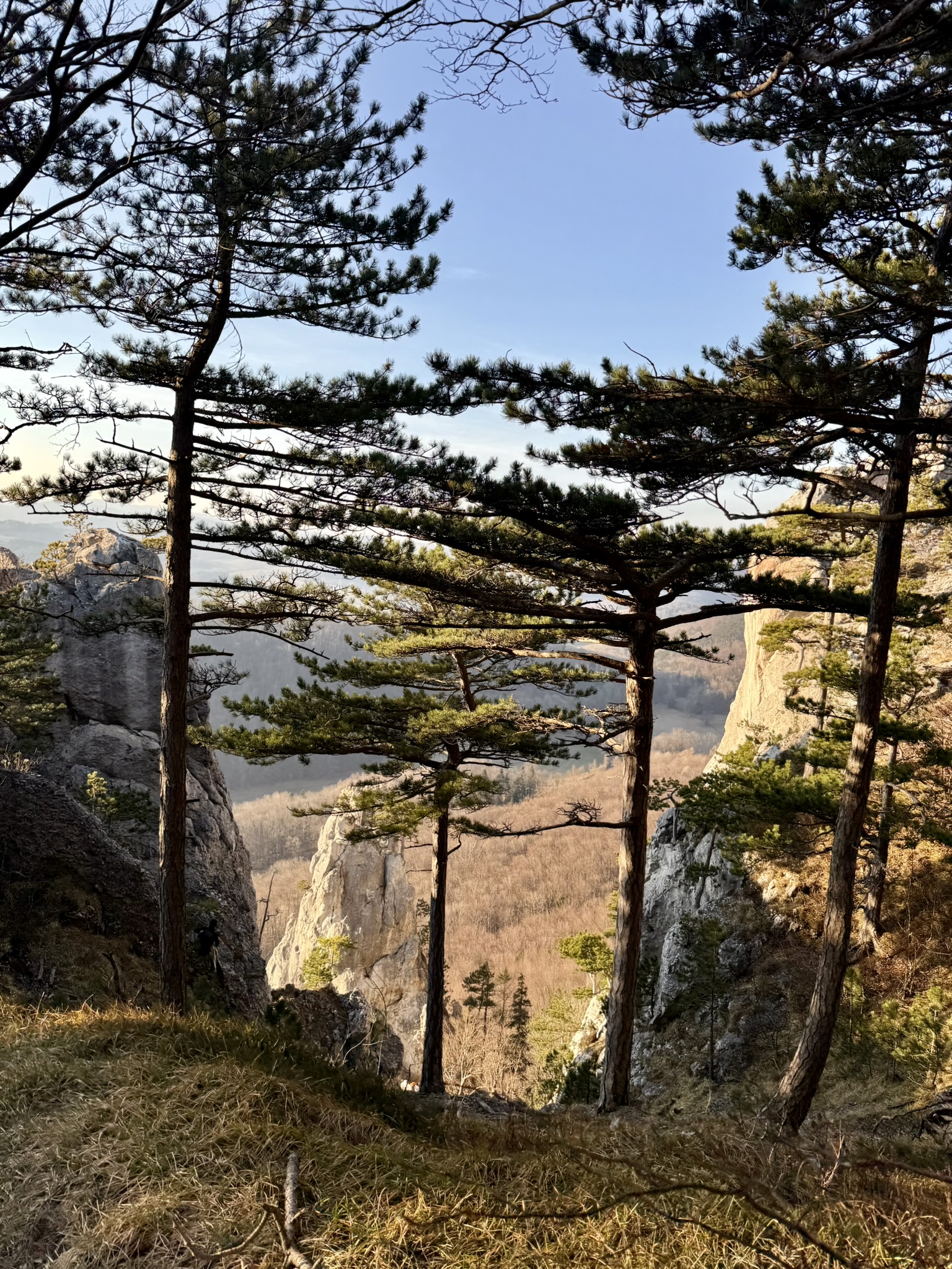
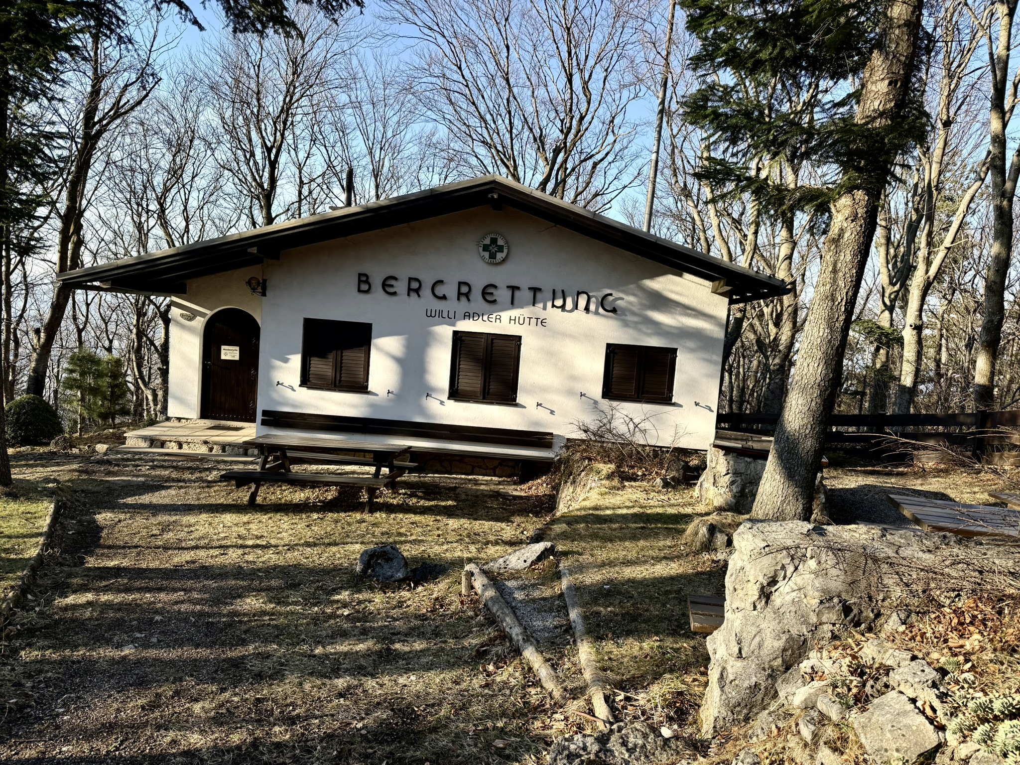
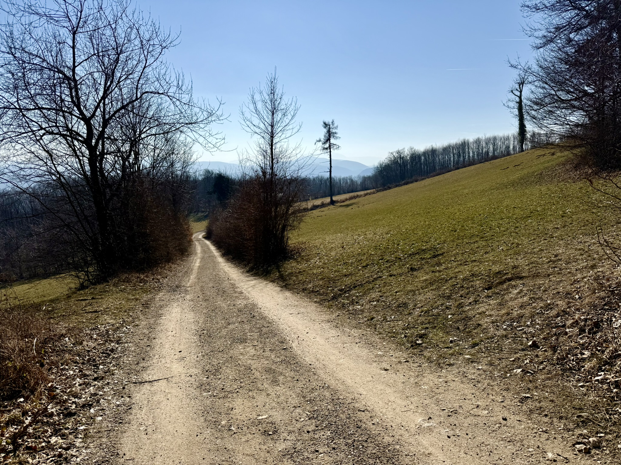
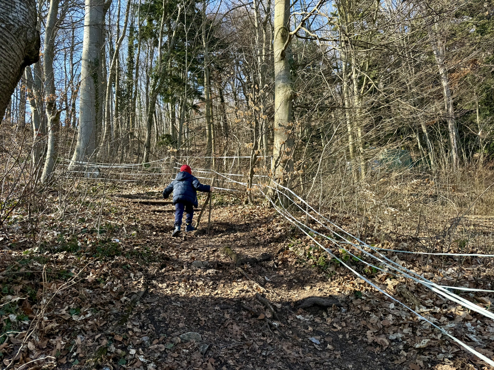
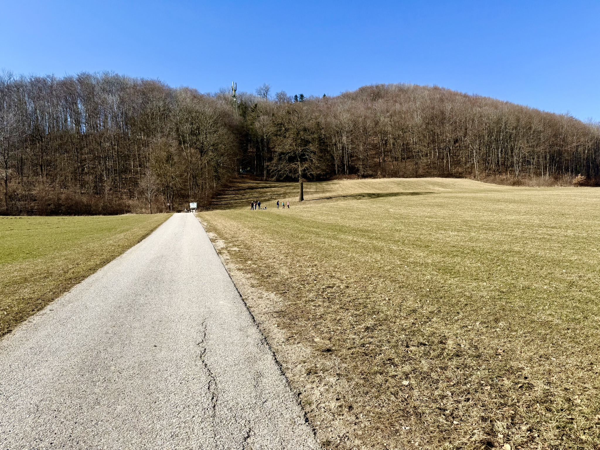
Niederösterreich · AT

| Difficulty | Family |
|---|---|
| Duration | 1h 30m |
| Length | 3.30 km |
| Ascent | 250 m |
| Descent | 250 m |
| Highest Point | 716 m |
|---|---|
| Lowest Point | 526 m |
| Region | Niederösterreich |
| Country | AT |
| OutdoorActive | Outdooractive Link |
Schwarzensee
Latitude:
48.009997
Longitude:
16.060627
Schwarzensee
Latitude:
48.009997
Longitude:
16.060627
250 m
Total Ascent
250 m
Total Descent
716 m
Highest Point
526 m
Lowest Point
This is a simplified elevation profile showing the highest and lowest points of the trail. For a detailed GPS-tracked elevation profile, please use a dedicated hiking app.
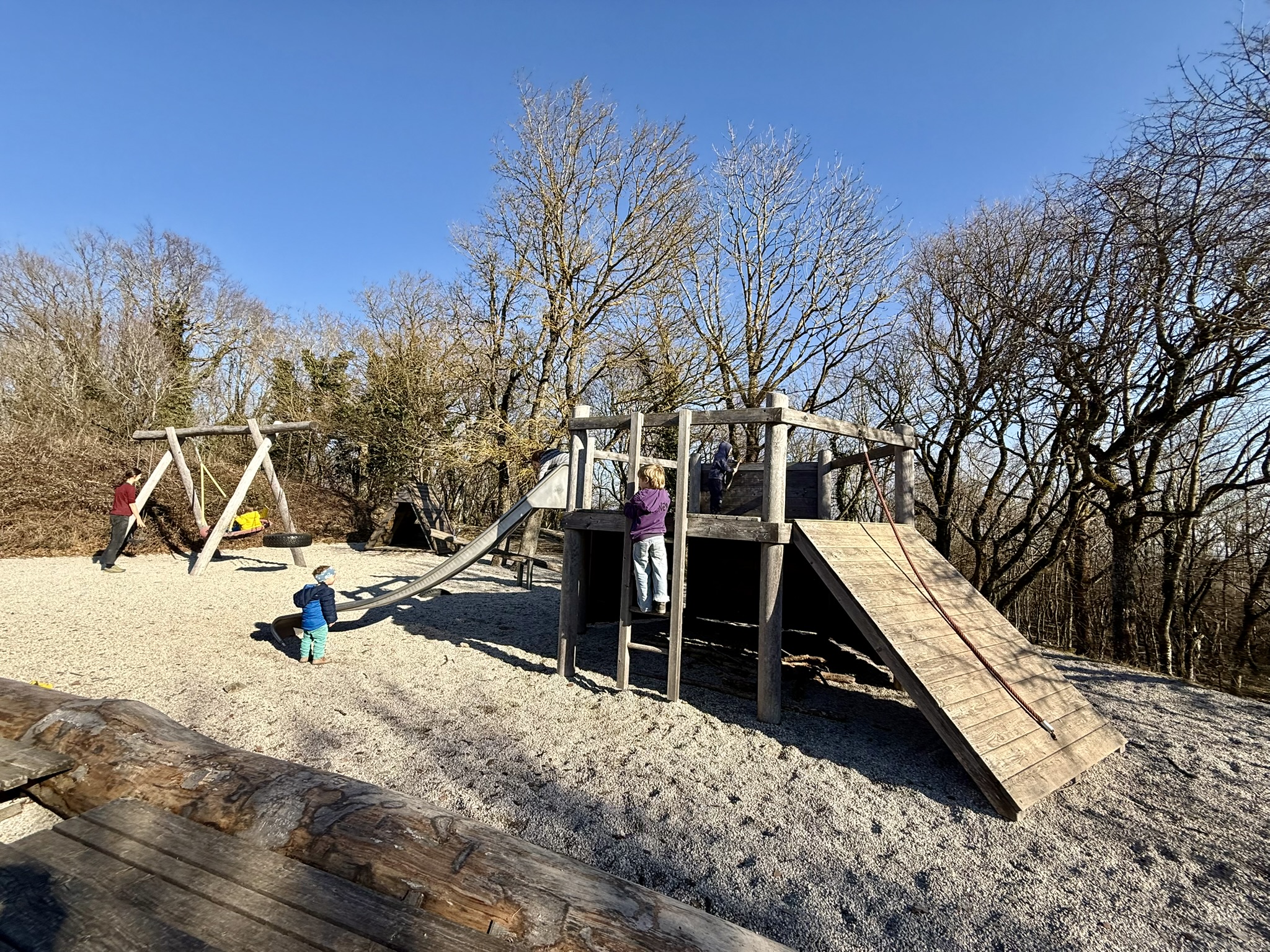
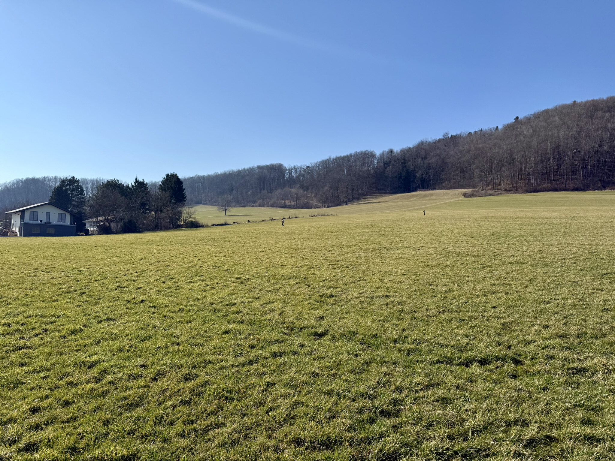
Niederösterreich · AT

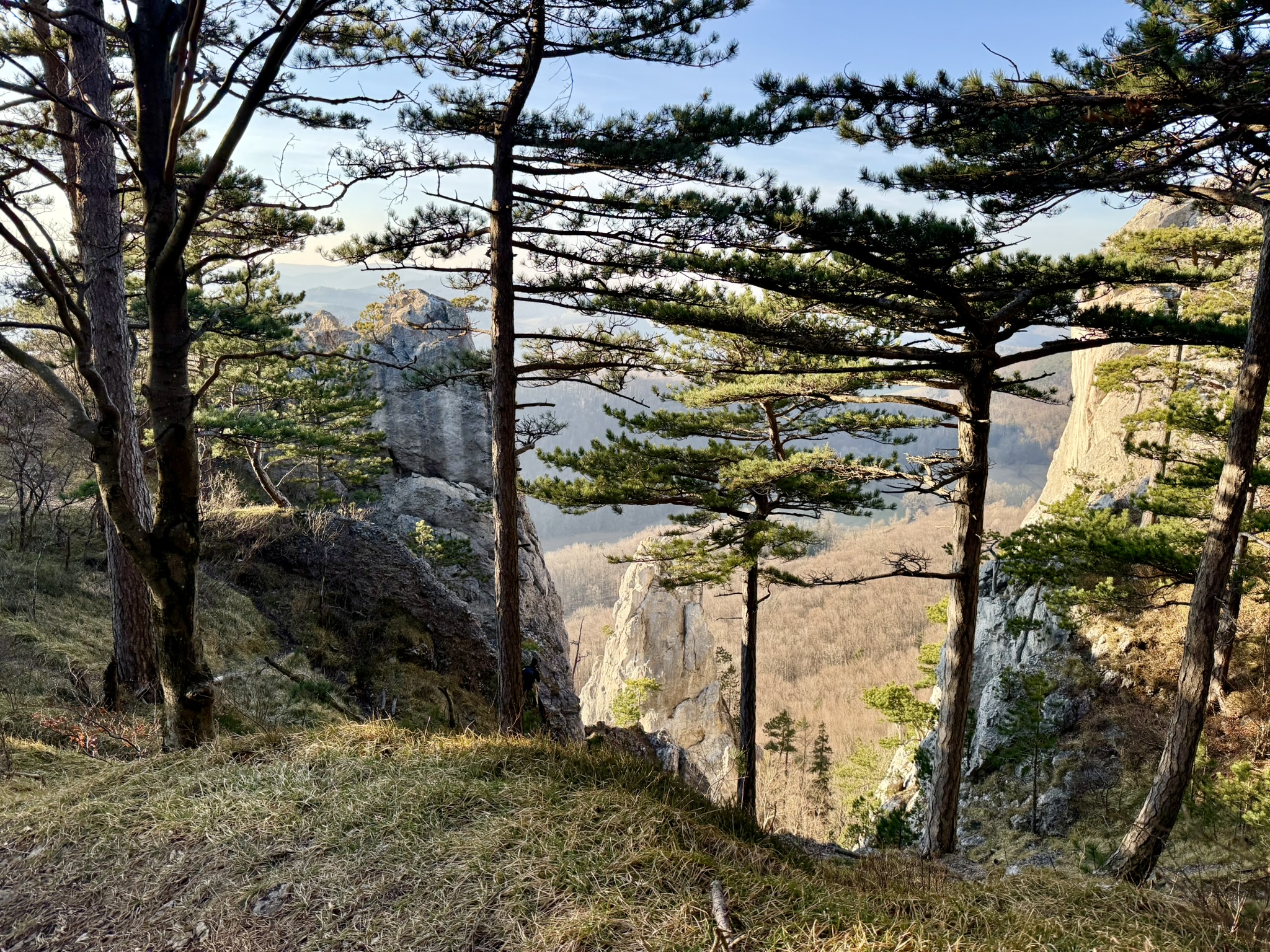
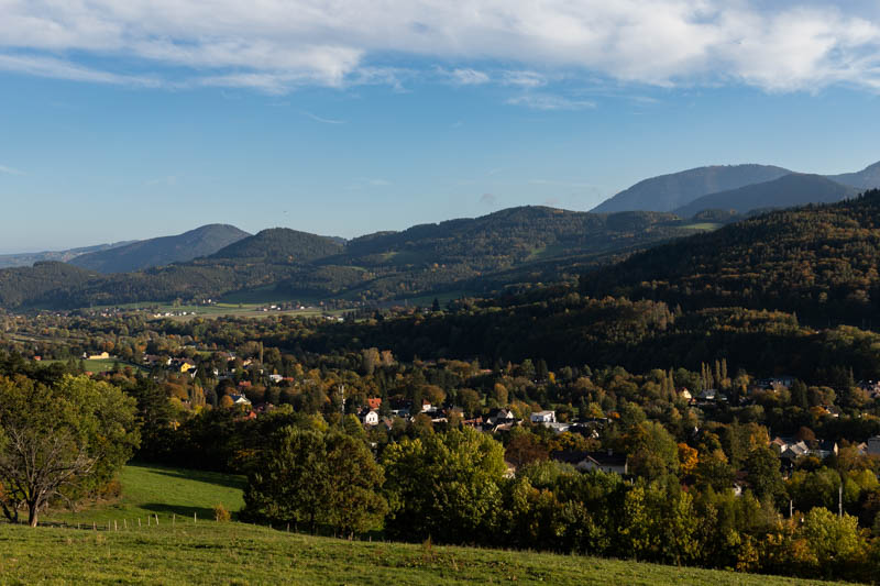
Niederösterreich · AT
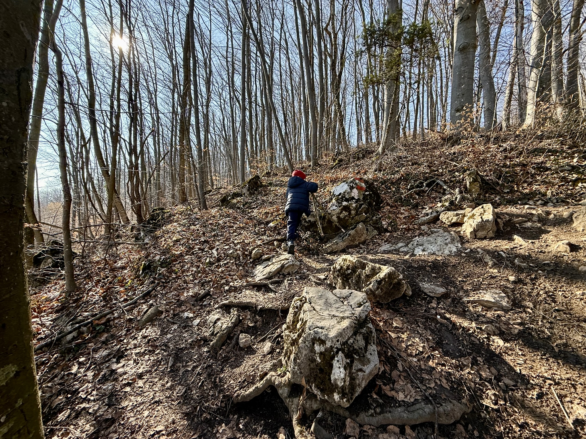
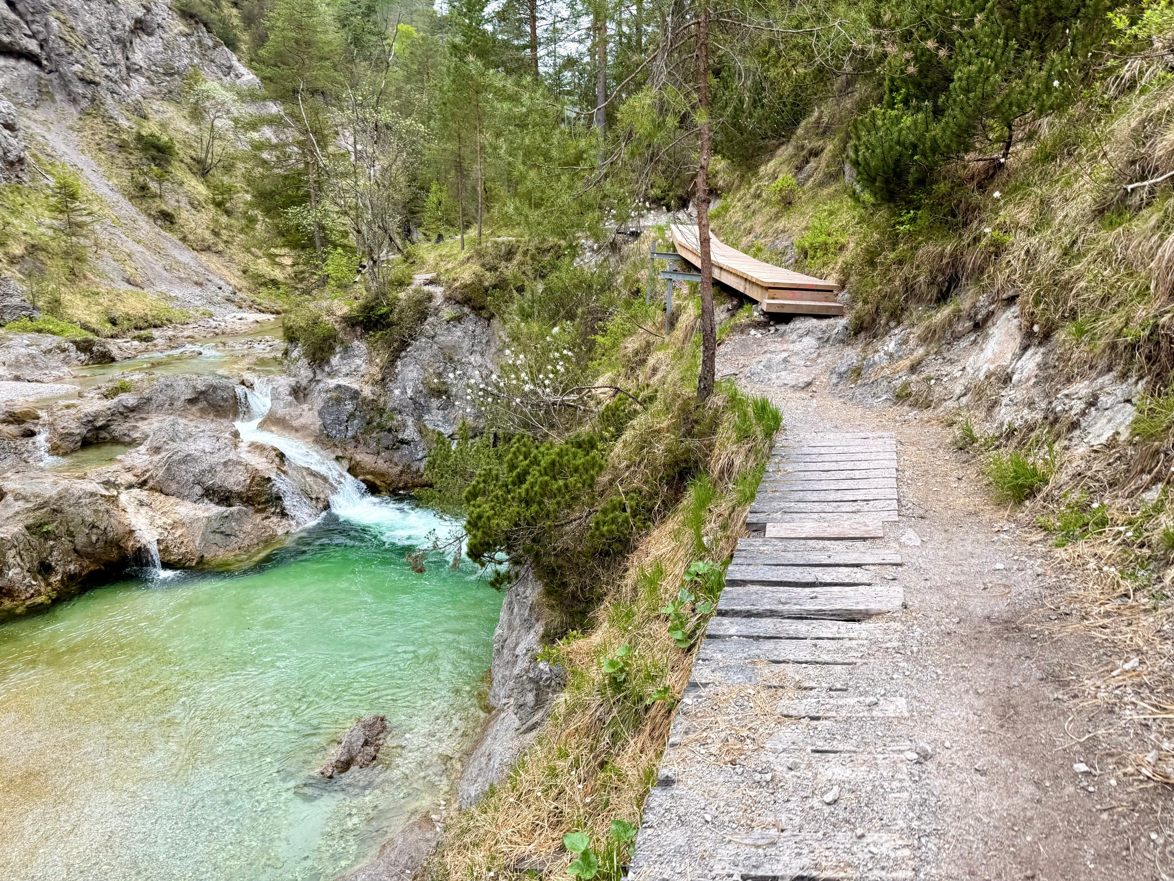
Niederösterreich · AT
Niederösterreich · AT
Niederösterreich · AT