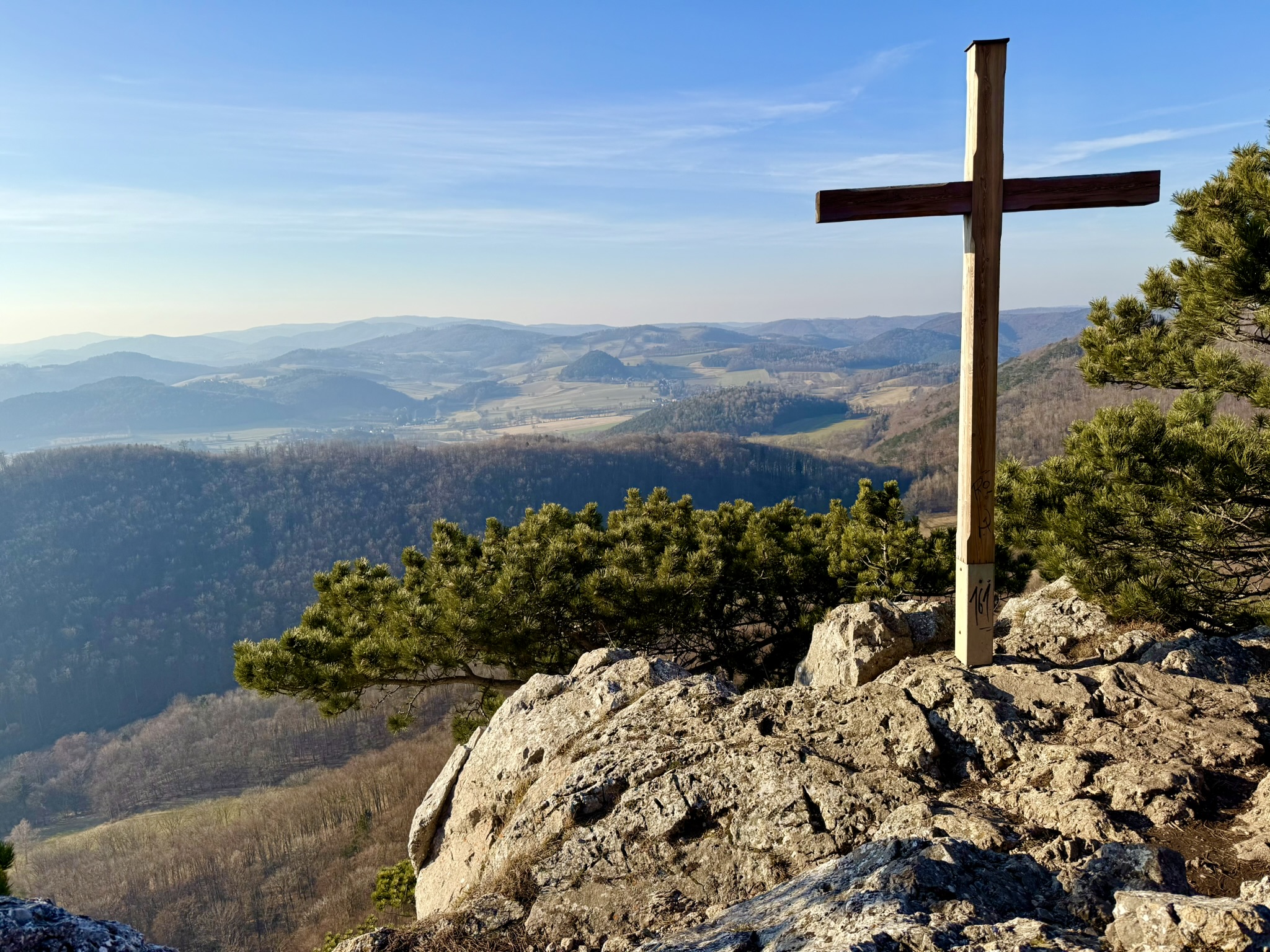
Niederösterreich · AT
widok na Payerbach
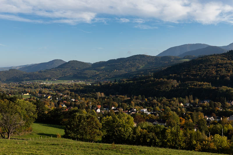
widok na Reichenau z Rax'em w tle.
IMG_3549-1.jpg
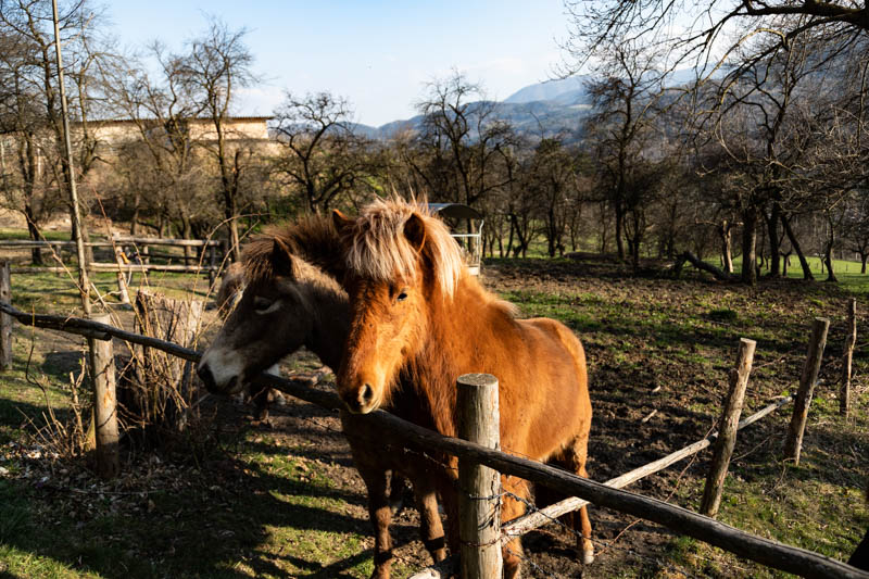
konie
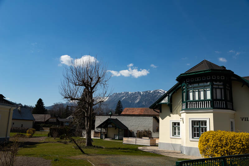
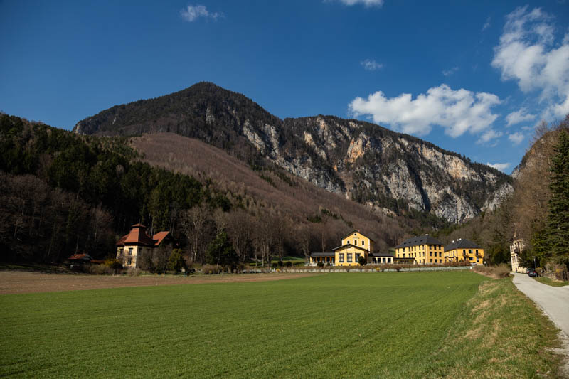
widok na kompleks apartamentów Thalhof
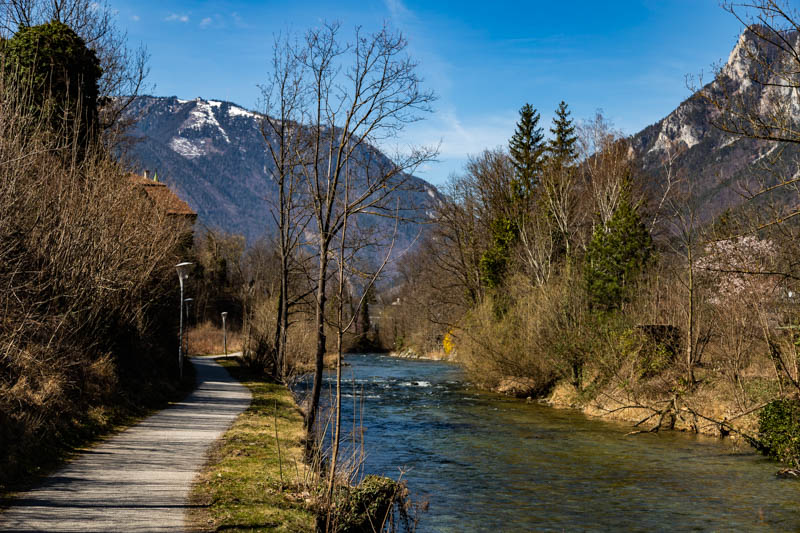
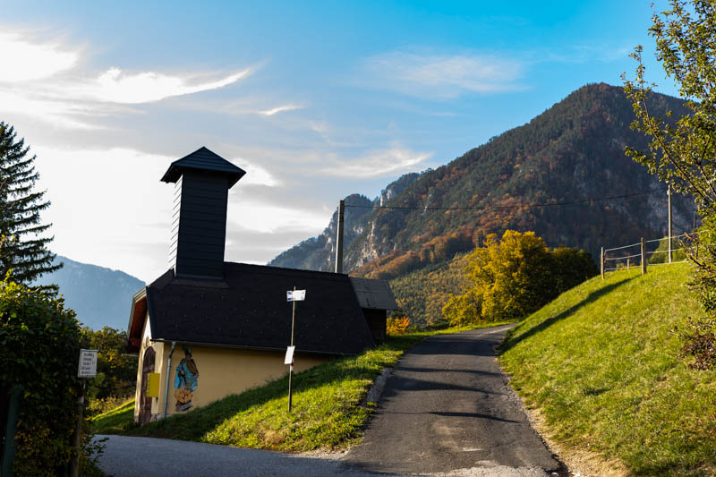
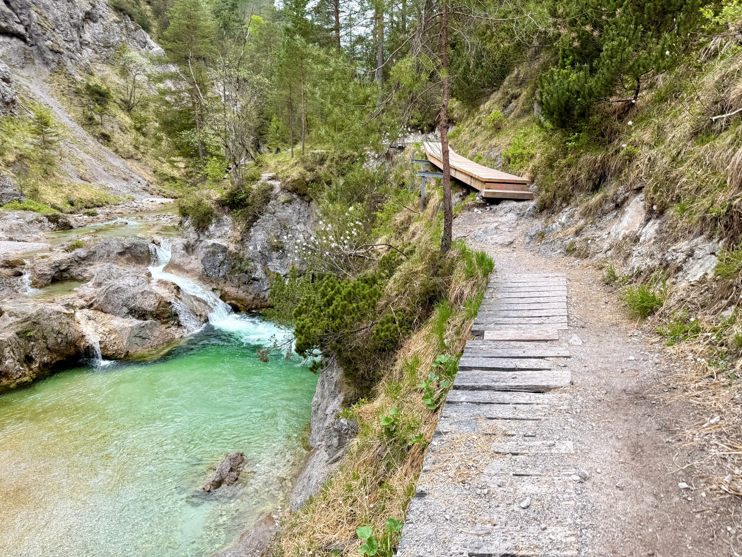
końcowa część trasy
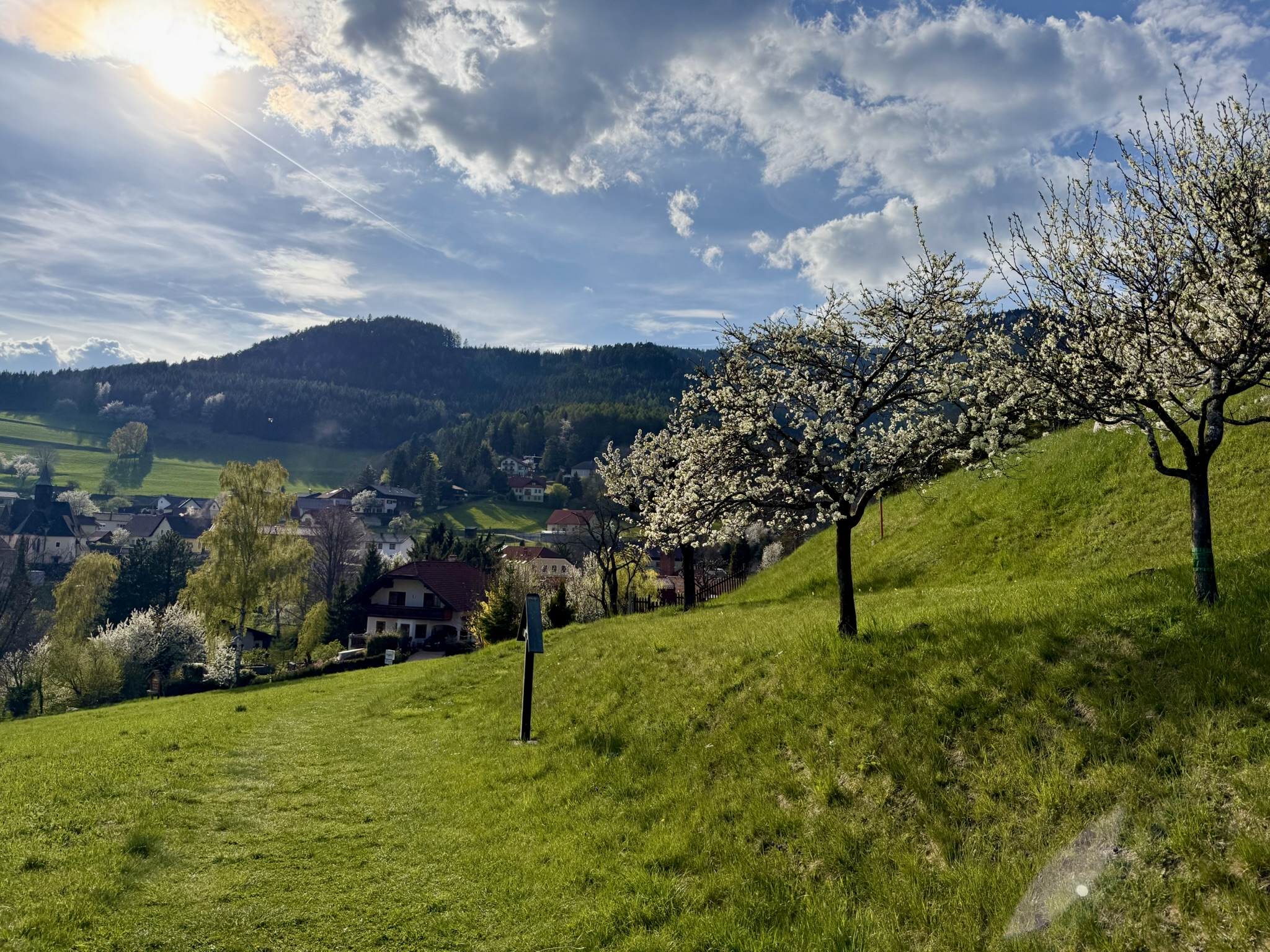
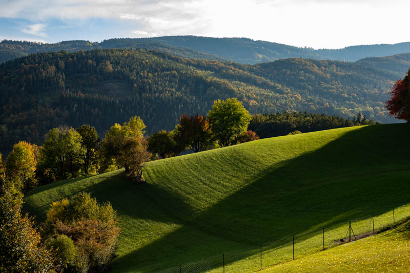
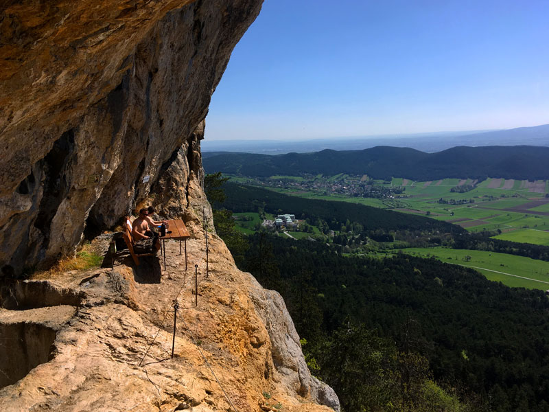
alpejska polana
| Difficulty | Family |
|---|---|
| Duration | 1h 50m |
| Length | 6.20 km |
| Ascent | 93 m |
| Descent | 93 m |
| Highest Point | 566 m |
|---|---|
| Lowest Point | 473 m |
| Region | Niederösterreich |
| Country | AT |
| OutdoorActive | Outdooractive Link |
Latitude:
47.692057
Longitude:
15.863013
Latitude:
47.692057
Longitude:
15.863013
93 m
Total Ascent
93 m
Total Descent
566 m
Highest Point
473 m
Lowest Point
This is a simplified elevation profile showing the highest and lowest points of the trail. For a detailed GPS-tracked elevation profile, please use a dedicated hiking app.
Niederösterreich · AT
Niederösterreich · AT

Niederösterreich · AT
Niederösterreich · AT
Niederösterreich · AT