AlpsCraft Adventures
AlpsCraft
PL DE EN
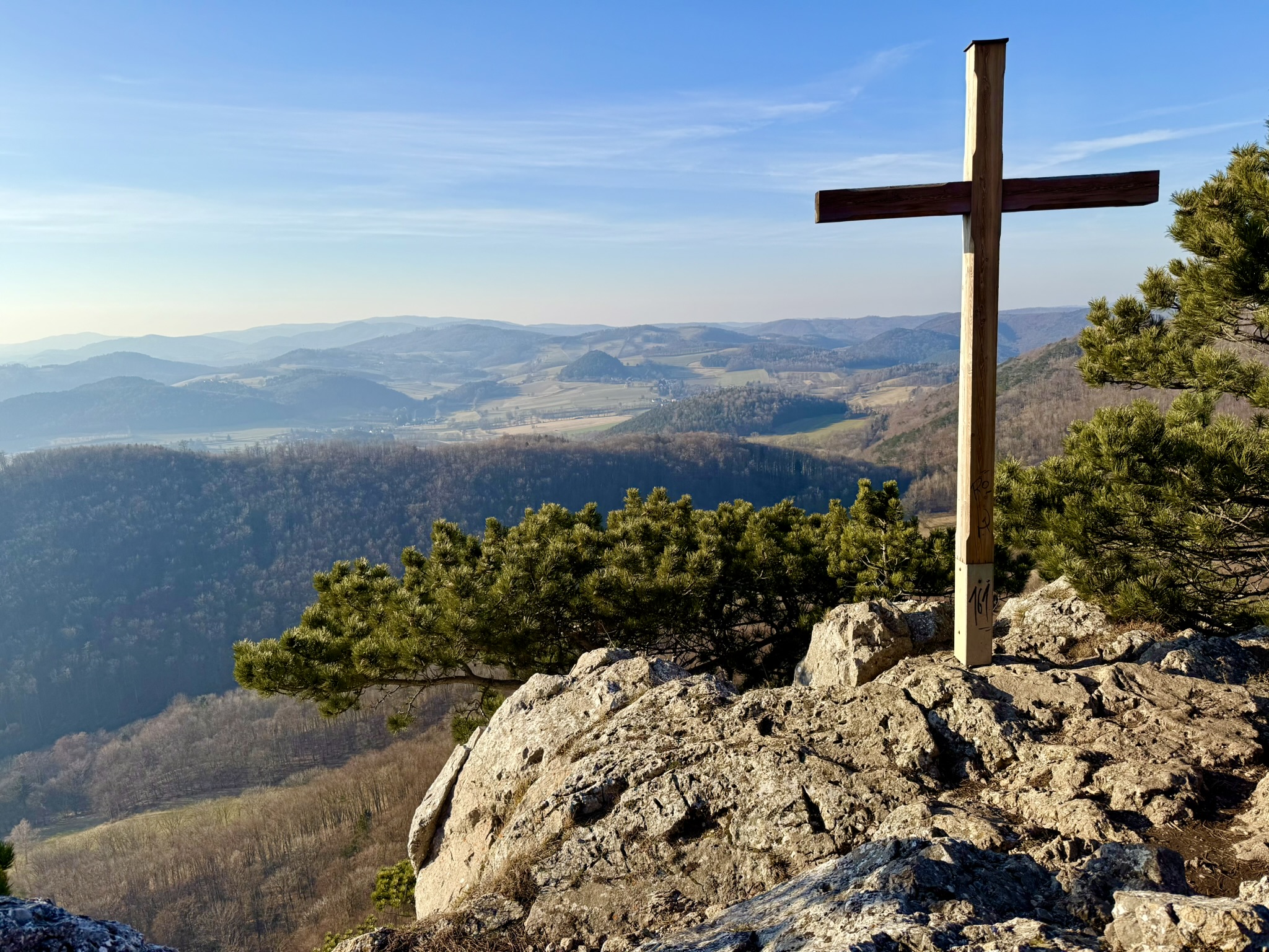
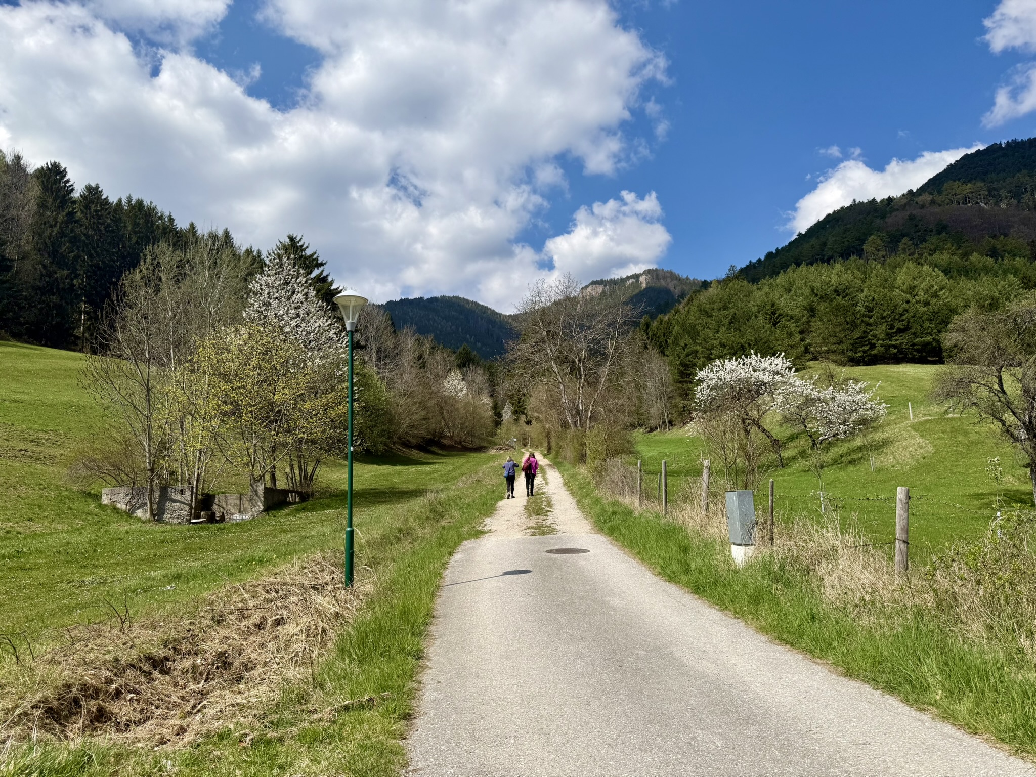
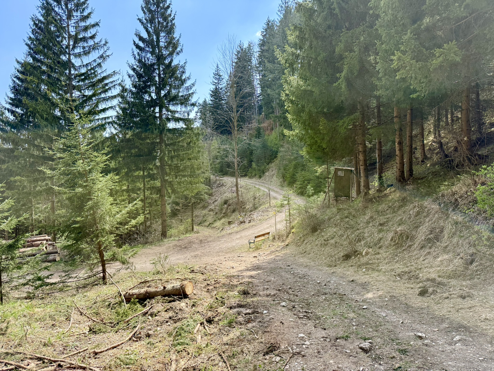
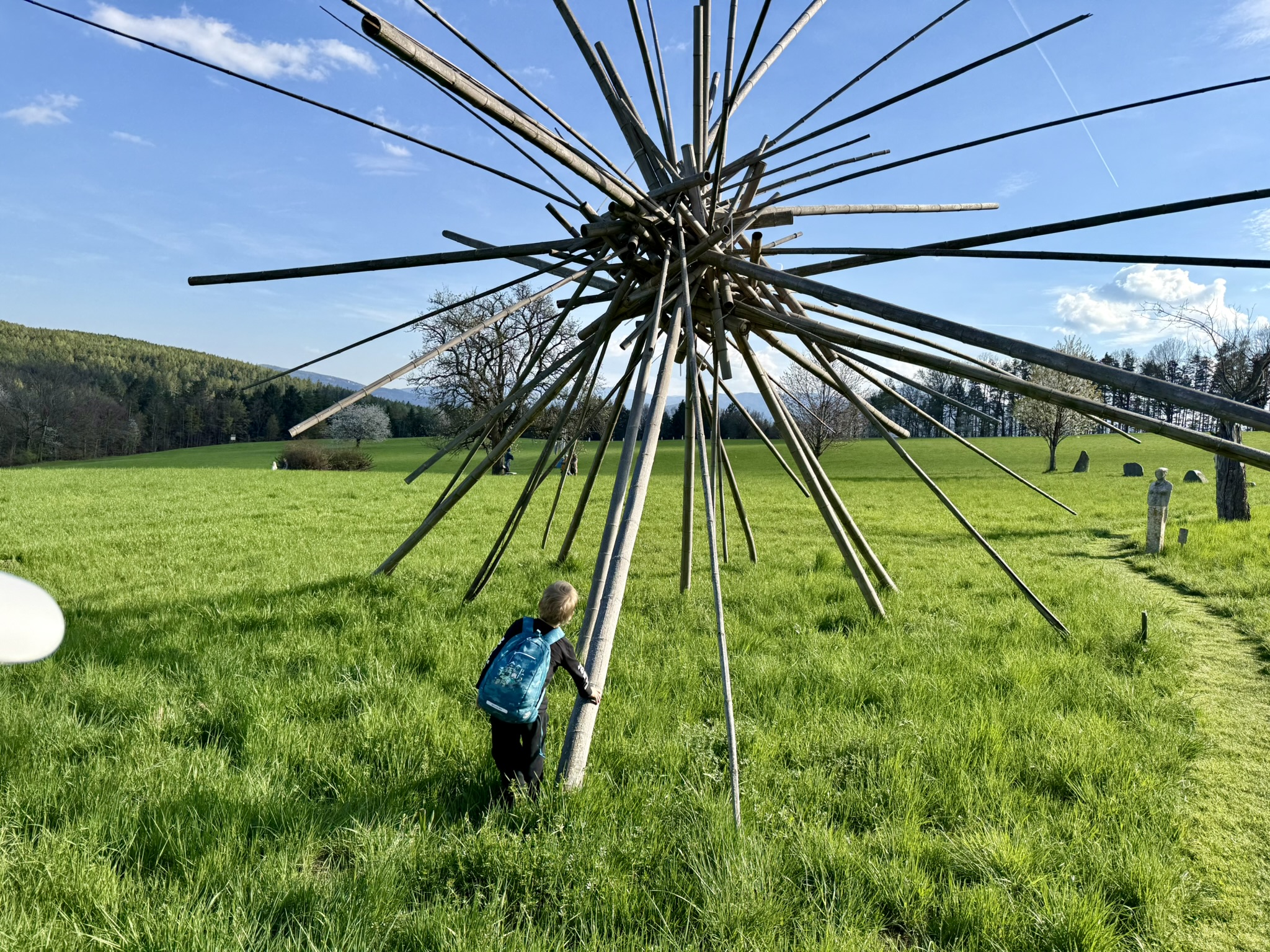
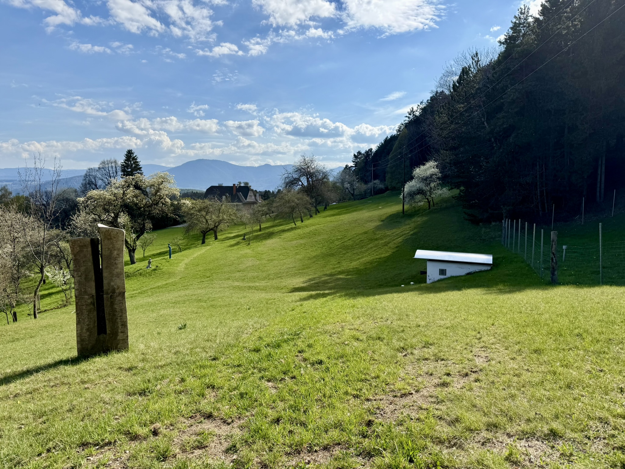
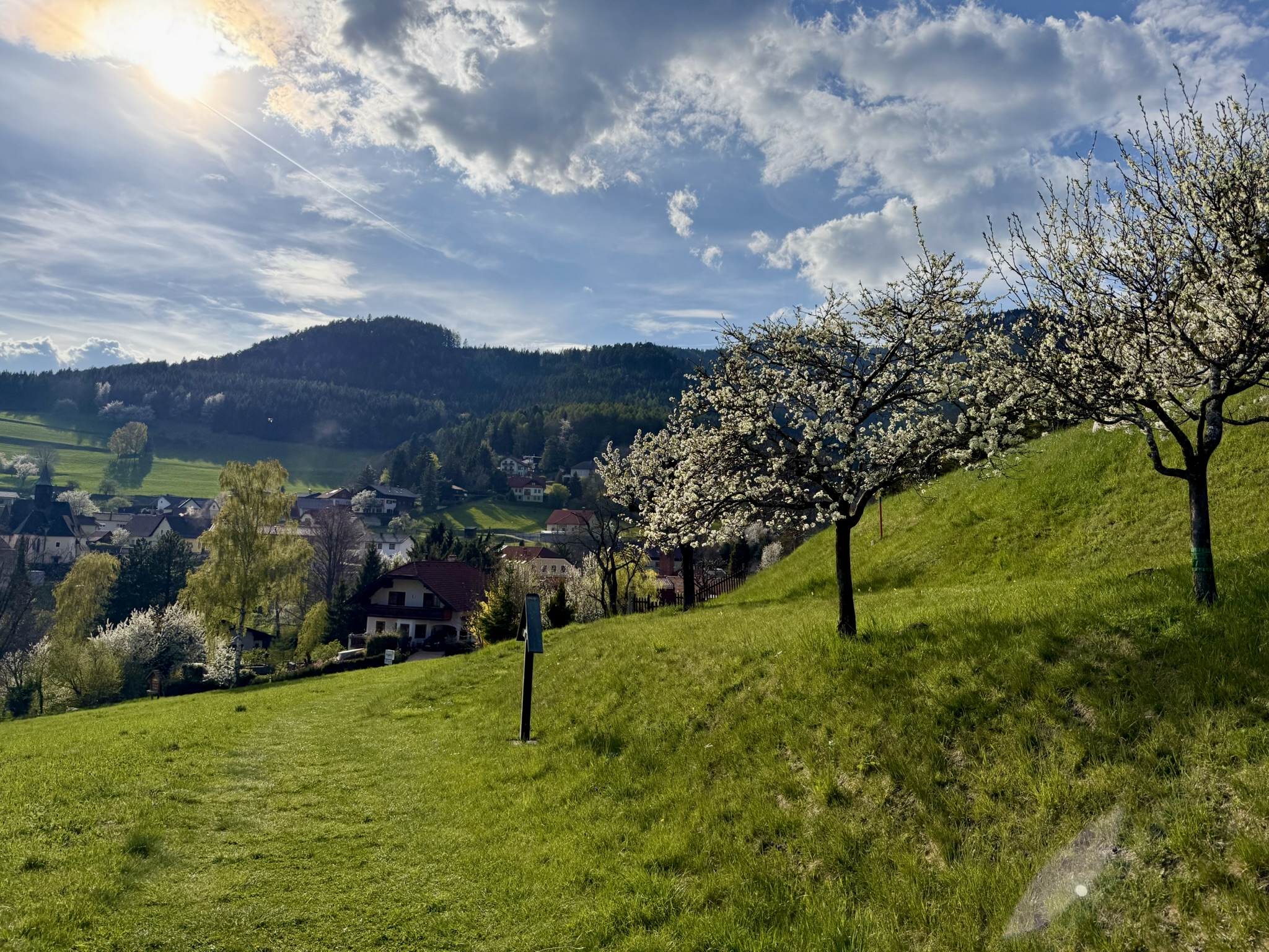
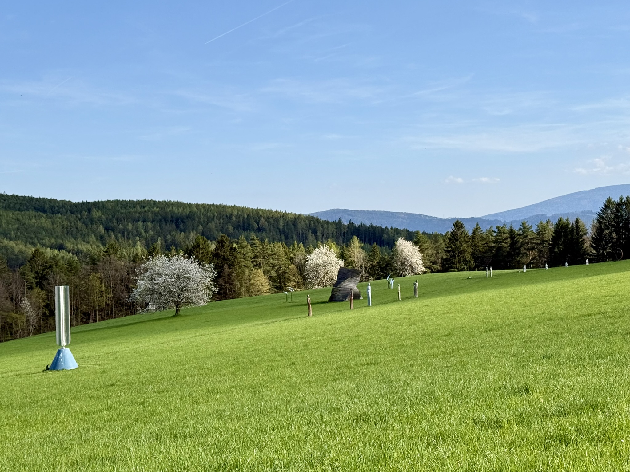
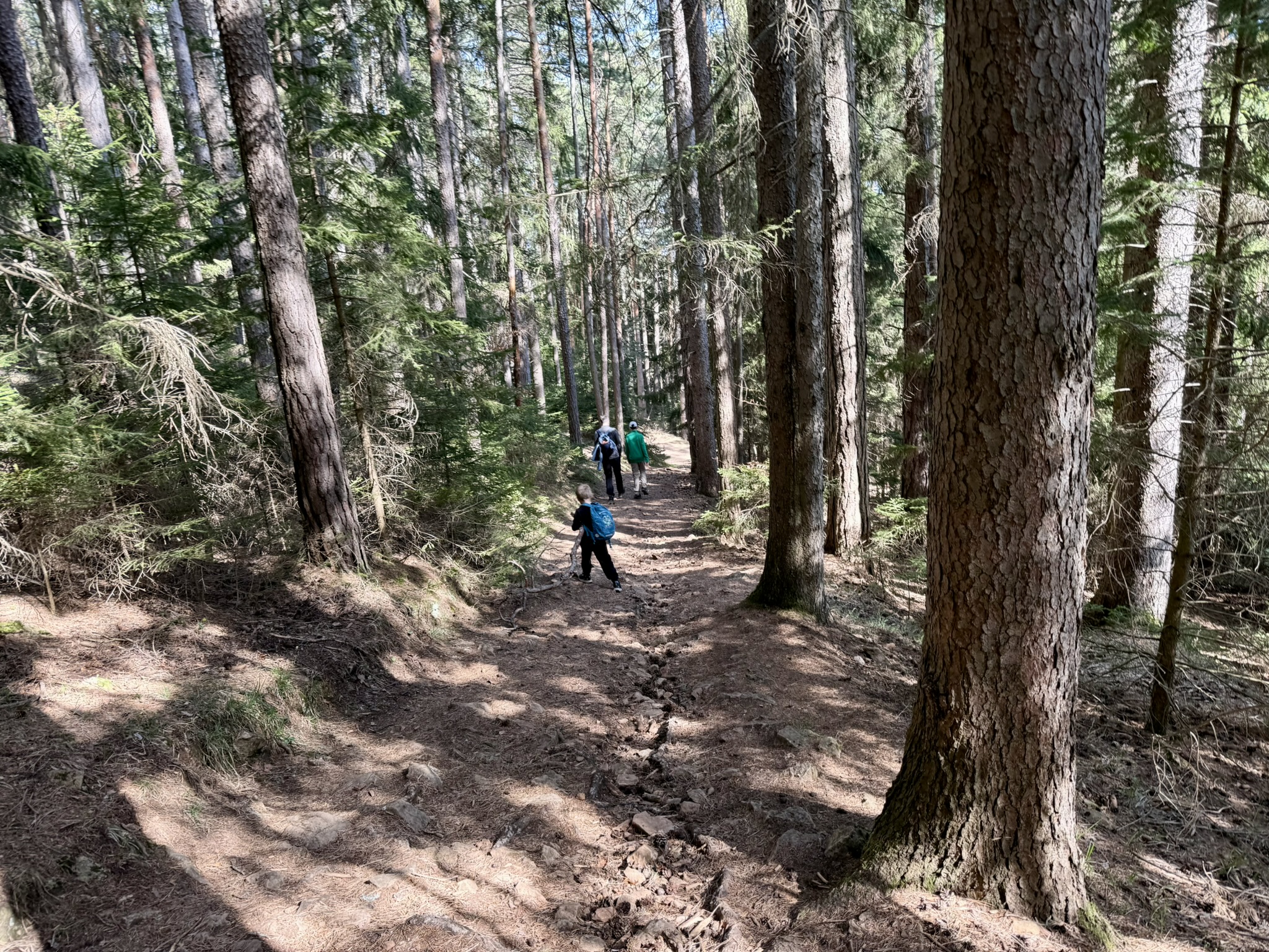
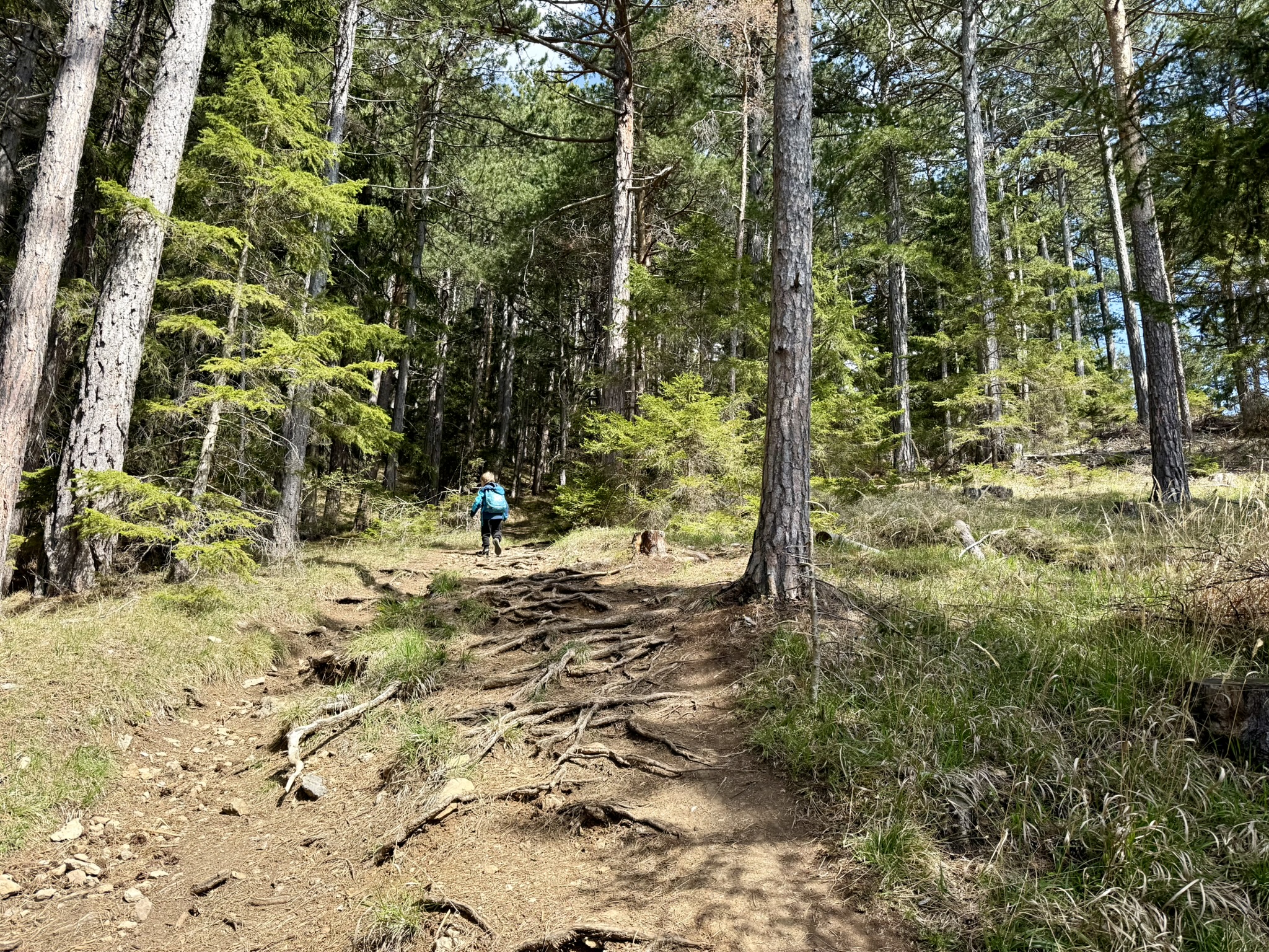
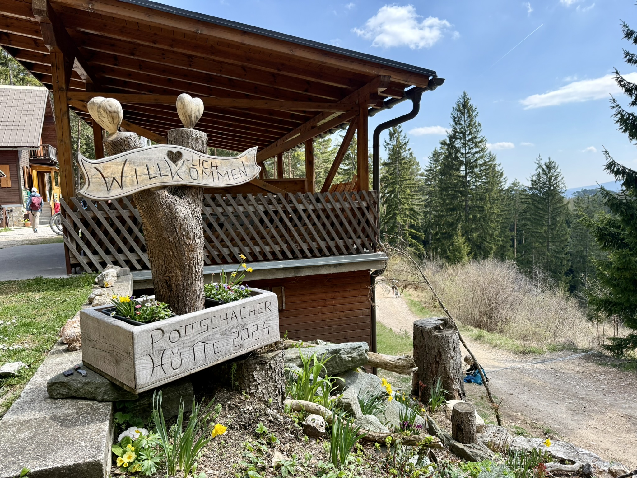
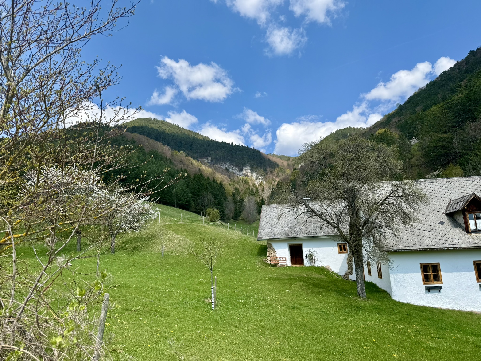
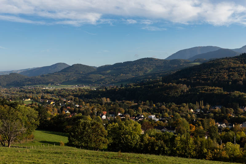
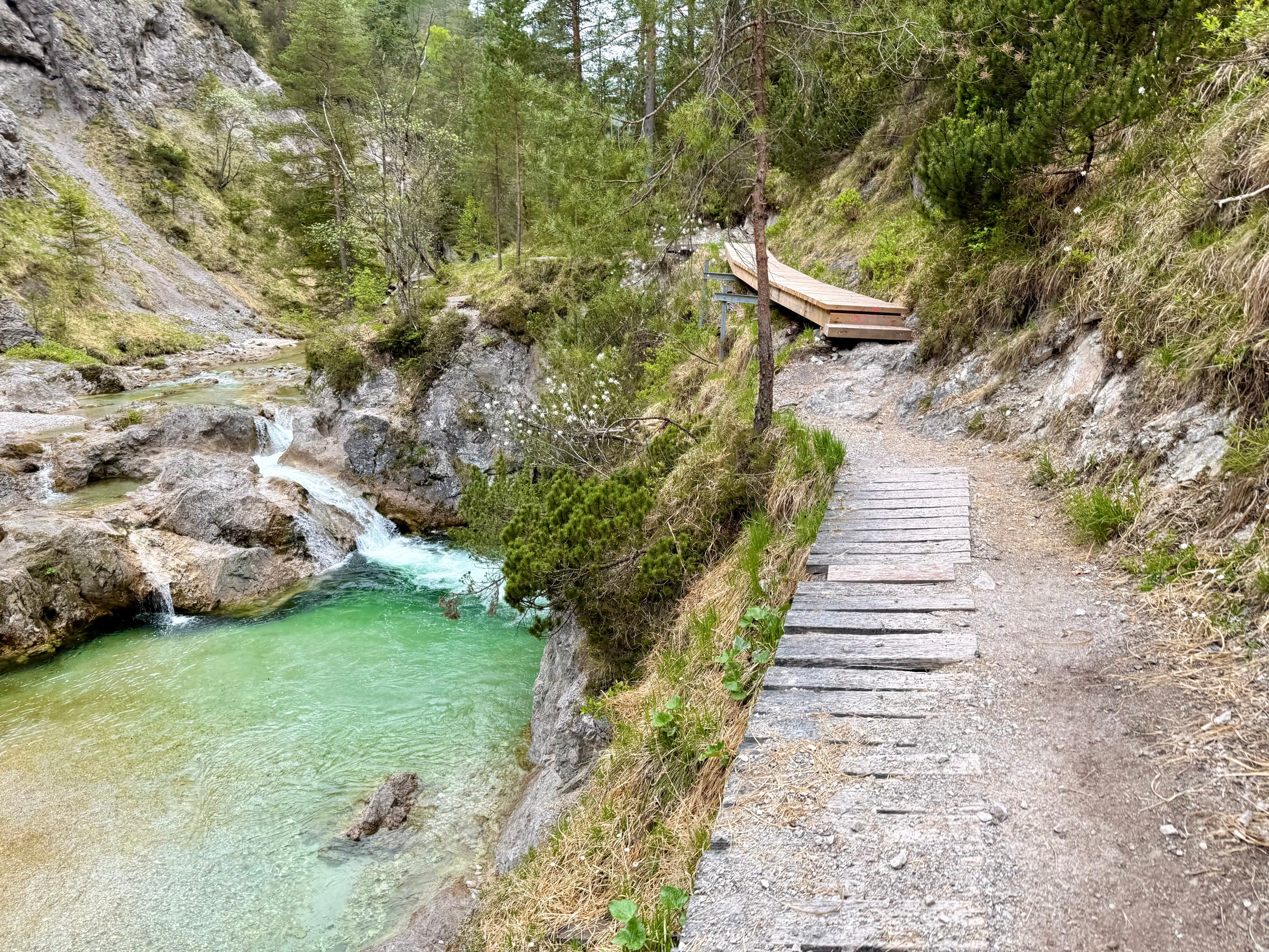
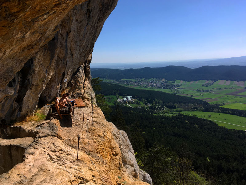
Niederösterreich · AT

Pottschacherhütte: Family Trail with Art Gallery Backdrop

Duration 2h
Distance 5.1 km
Ascent 281 m
Descent 287 m
Family 2h 5.1 km 650 – 915 m
These views we had right at the beginning

Getting Started

April, twenty degrees, zero wind. Such conditions around Vienna are a rarity that must be seized immediately. We were looking for something short, with a hut at the end and the ability to bring a six-year-old without risking a rebellion halfway through. Pottschacherhütte came up in conversations with locals so often that we finally had to check what all the fuss was about. Spoiler: the fuss was justified.
The beginning of the trail through the forest was very gentle

Trail Characteristics

Start in the center of Prigglitz, at the municipal office – you leave your car literally next to the trail sign board. Red markers lead upward from the first meters. There's no boring warm-up section through the forest here – the panorama opens up almost immediately and with every meter gained it only gets better.
Five kilometers of distance and just under 300 meters of elevation gain are evenly distributed, without any nasty surprises like "the last 200 meters straight up." The path is wide, well-maintained, rocky in places, but nowhere does it require securing or holding a child's hand. Two hours of pure walking – counting with stops it comes out closer to three.

Interesting combination of art and nature

The return route through Gasteil is a completely different story. The last kilometer leads through Gut Gasteil – a sixteen-hectare open-air art gallery. Large-format sculptures and installations scattered across meadows, among which cows wander. Surrealism at its finest. The six-year-old was convinced we had stumbled into some kind of movie.
One of the steeper moments of the hike

Who Is This Trail For?

This is a classic family outing. No exposure, no chains, no scree. If your child can walk for an hour without being carried piggyback, they'll manage. My six-year-old, who regularly hikes with us in the mountains, went up without complaining – but I also saw families with four-year-olds who were doing equally well.
Fitness required? A solid 3/10. This is not training before Grossglockner. But those 281 meters upward do exist, so a complete couch potato will feel their calves.
For hardcore mountaineers: treat this as an appetizer. From Pottschacherhütte you can continue on to Waldburgangerhütte, Knofeleben, and if you have a reserve of energy and ambition – even to Schneeberg (2074 m above sea level). Then it gets serious.
Pottschacherhütte - our destination

Huts and Logistics

Parking at the municipal office in Prigglitz – free, a dozen or so spaces. On weekends it can get crowded, but not dramatically so.
Pottschacherhütte (914 m above sea level) has been operating since 1962 and you can tell the hosts know what they're doing. Portions are substantial, prices fair by Alpine standards. Classic Jause with local cheese and cold cuts, or Kaiserschmarrn for those who believe sweet after an ascent is essential. Beer cold, view from the terrace of surrounding ridges – what more could you want?
View towards Semmering and Stuhleck
Gear? Normal trekking shoes are sufficient. Poles optional, crampons unnecessary. In April the trail was dry, but after rain the stones can be slippery – then poles will come in handy.
A curiosity for history lovers: Prigglitz is an ancient copper mining center from the Bronze Age. Excavations from 2010-2014 uncovered an entire production center here – mines, miners' settlements, foundry workshops. The copper from here was so pure that it was traded throughout Central Europe. Today there's no trace of the mines, but the awareness that you're treading on land that people exploited 3000 years ago adds depth to the place.

AlpsCraft Verdict

Perfect day trip when you want to show a child the mountains without risk of trauma – and for dessert you get an art gallery you wouldn't expect anywhere in the Alps.
Difficulty Family
Duration 2h
Length 5.10 km
Ascent 281 m
Descent 287 m
Highest Point 915 m
Lowest Point 650 m
Region Niederösterreich
Country AT
OutdoorActive Outdooractive Link

Coordinates

Starting Point

Prigglitz Gemeindeamt

Latitude: 47.703924
Longitude: 15.928690

Ending Point

Prigglitz Gemeindeamt

Latitude: 47.703924
Longitude: 15.928690

Starting Point

Latitude: 47.703924
Longitude: 15.928690

Open in Google Maps
Ending Point

Latitude: 47.703924
Longitude: 15.928690

Open in Google Maps

281 m

Total Ascent

287 m

Total Descent

915 m

Highest Point

650 m

Lowest Point

This is a simplified elevation profile showing the highest and lowest points of the trail. For a detailed GPS-tracked elevation profile, please use a dedicated hiking app.

Share this trail

Facebook WhatsApp
Routes

You might also like