Cobenzl-Jägerwiese-Hermannskogel - Vienna's Highest Point
Duration2h
Distance6.6 km
Ascent230 m
Descent230 m
Family2h6.6 km381 – 543 m
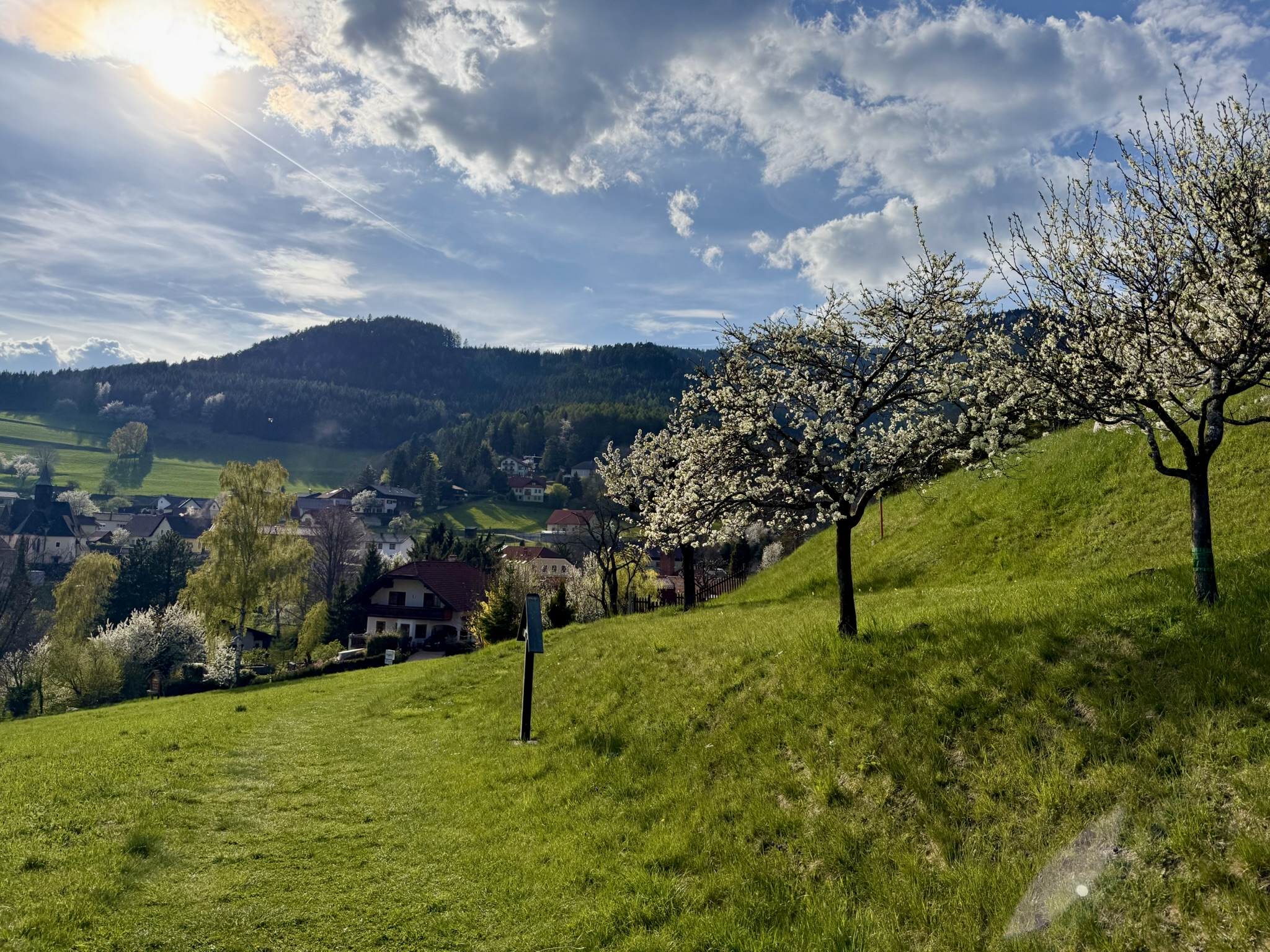
Hermannskogel is Vienna's highest point at 544 meters above sea level. This easy, family-friendly 6.6 km hike leads through the picturesque forests of the Wienerwald, passing Jägerwiese along the way - an ideal resting spot with children. A perfect choice for an afternoon walk!
The Perfect City Escape
It was a beautiful September afternoon. Taking advantage of a few free hours and warm weather, I decided to visit Vienna's highest point - Hermannskogel - once again. A great advantage of this route is its accessibility by public transport - you can take bus 38A from the end of the U4 metro line - Heiligenstadt. However, if you're going by car, you can park at the Am Cobenzl parking lot. Note - it can get crowded on weekends, so it's worth arriving early!
The route totals 6.6 kilometers and takes about 2 hours. The elevation gain is only 230 meters, making it accessible to virtually everyone. The highest point we'll reach is 544 meters above sea level - the summit of Hermannskogel, the highest point within Vienna's city limits!
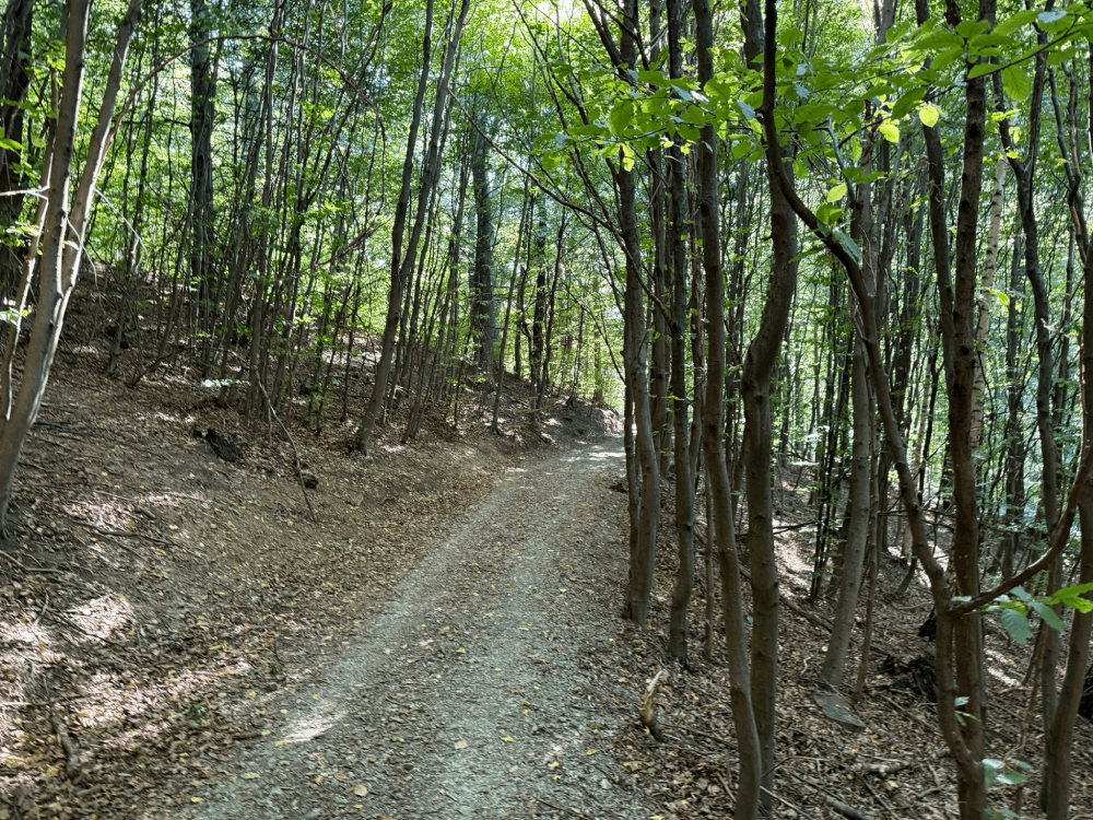
Path from Cobenzl to Jägerwiese
Through the Forest to Jägerwiese
The beginning of the hike is a peaceful forest walk. The trail leads through a beautiful beech forest, characteristic of the Wienerwald. The path is wide, comfortable, and excellently marked - we follow signs to Jägerwiese/Hermannskogel. After about 40 minutes of peaceful forest hiking, we reach Jägerwiese - and here the real attraction begins, especially for families with children!
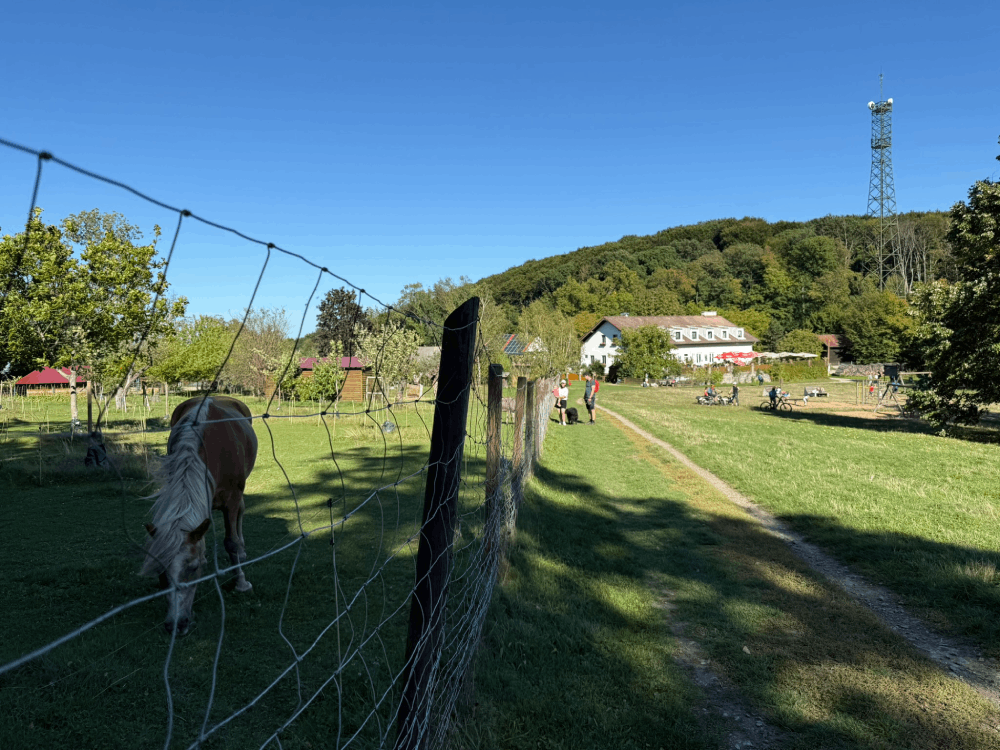
Jägerwiese
Jägerwiese - A Paradise for Children
Jägerwiese is an ideal resting place, especially if you're hiking with children. There's a restaurant here (I recommend it - they have very good food!), a petting zoo, and a playground. In short - an ideal place for families. You can easily spend an hour here, letting the children play with the animals while you relax with coffee and cake. It's an excellent reference point - from here you can continue the hike to the summit or simply return to the starting point if you have younger children.
On the right side you can see the slope of Hermannskogel
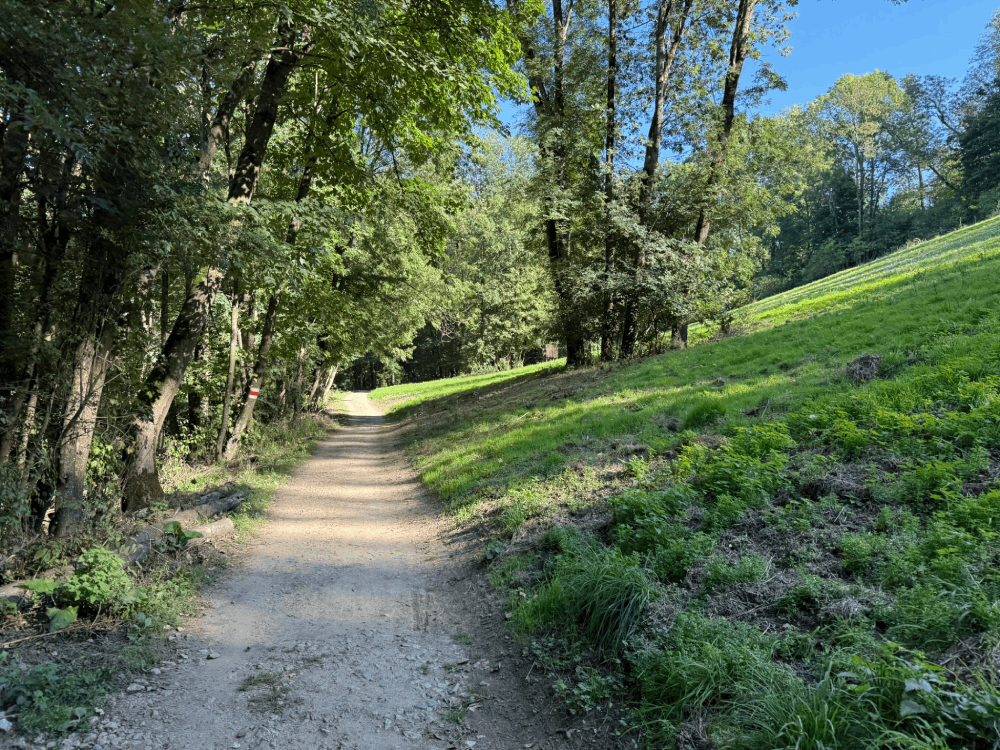
Final Ascent to Hermannskogel
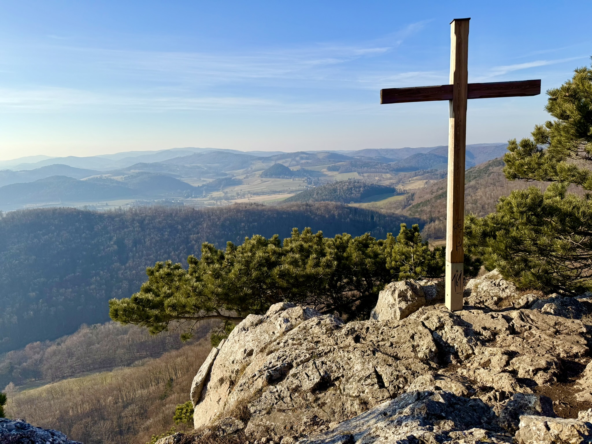
From Jägerwiese to Hermannskogel is about half an hour of hiking (about 100 meters elevation gain). You can take the shorter, steeper route directly to the summit - that's what I chose. The trail leads through beautiful forest, and the higher you go, the more visible the flysch formations characteristic of the Wienerwald become. They're particularly visible just before the summit - thin layers of sandstone form distinctive cliffs and steps.
At the summit stands the Habsburgwarte - a 27-meter observation tower built in 1888. It's worth knowing that Hermannskogel played a special role in the history of cartography - it was the fundamental point (zero point) of the Austro-Hungarian measurement system! All surveys for the entire empire were conducted from here.
View of the Wienerwald
Views That Captivate
From the tower, there's a magnificent view of the entire Wienerwald and Vienna. In good conditions, visibility extends for dozens of kilometers. You can see Kahlenberg, Leopoldsberg, and in the distance, the Vienna skyline. It's an excellent place for memorable photos! It's worth taking a moment here for contemplation - to think that you're standing at the highest point of Austria's capital, which for centuries was the center of a mighty empire.
Multiple Return Options
A great advantage of this hike is the numerous options for shortening or extending the route. I returned via the other side of Latisberg, which allowed me to enjoy new views and a different perspective of the surrounding forests. You can also return via the normal, marked trail through Jägerwiese - this is a safer option, especially if you're hiking with children. For more demanding hikers, there are trails leading further through the Wienerwald - you can, for example, extend the hike towards Kahlenberg or Dreimarkstein.
History Hidden in the Forest
While hiking these trails, it's worth remembering the rich history of this place. In 1683, the relief army camped on Hermannskogel, which came to the aid of besieged Vienna during the Second Turkish Siege. It was from here that the famous Battle of Vienna began! In medieval times, the area was covered with vineyards - hard to believe looking at today's dense forest. The name Hermannskogel comes from the medieval name Hermann and the word Kogel (mound, hill).
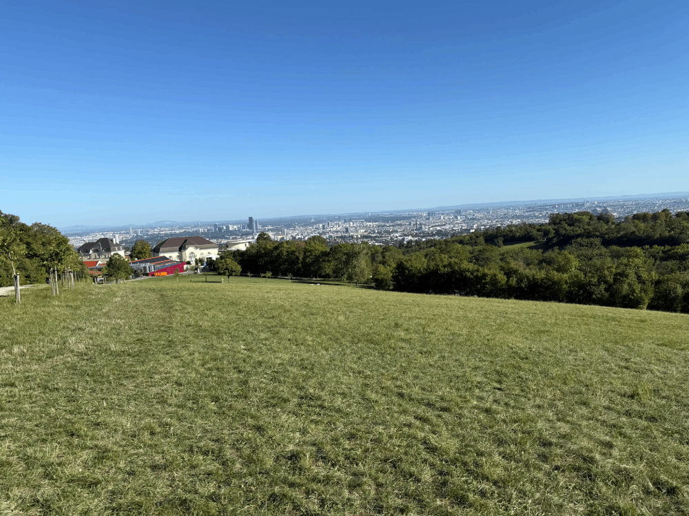
Cobenzl Palace in the foreground, with Vienna panorama in the background
Cobenzl - Not Just a Starting Point
It's also worth spending a moment visiting Cobenzl itself before or after the hike. Landgut Wien Cobenzl is a small farm with various animals, run by the City of Vienna - a great place for children! There's also Weingut Wien Cobenzl - a municipal vineyard where you can taste local wines. It's an excellent place to end a mountain day - a glass of Viennese wine with a view of the city is something special!
In Summary
The hike to Hermannskogel is an ideal choice for a family outing or an afternoon walk. Excellent accessibility by public transport, an easy trail, and short distance (6.6 km, 230 meters elevation gain, 2 hours of walking) make it accessible to everyone. Jägerwiese with attractions for children, the beautiful forests of the Wienerwald, and views from the summit - all this awaits you within Vienna's city limits! Discover the highest point of Austria's capital!
Information about the route along with the exact course can be found on platforms such as outdooractive.com - it's worth checking the detailed map before setting out.
This is a simplified elevation profile showing the highest and lowest points of the trail. For a detailed GPS-tracked elevation profile, please use a dedicated hiking app.