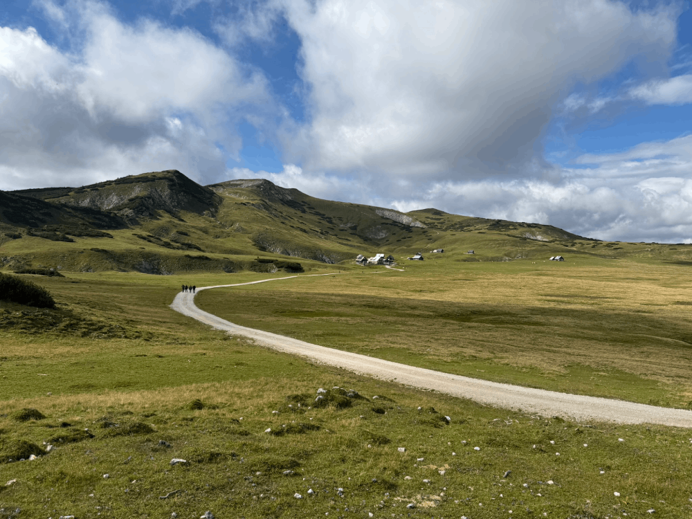
Steiermark · AT
Gesäuse szlaki
800-1.jpg
4.jpg
3.jpg
Gesäuse trekking
Gesäuse szlaki
7.jpg
| Difficulty | Family |
|---|---|
| Duration | 5h 22m |
| Length | 10.00 km |
| Ascent | 467 m |
| Descent | 467 m |
| Highest Point | 1395 m |
|---|---|
| Lowest Point | 970 m |
| Region | Steiermark |
| Country | AT |
| OutdoorActive | Outdooractive Link |
Latitude:
47.526926
Longitude:
14.643196
Latitude:
47.526926
Longitude:
14.643196
467 m
Total Ascent
467 m
Total Descent
1395 m
Highest Point
970 m
Lowest Point
This is a simplified elevation profile showing the highest and lowest points of the trail. For a detailed GPS-tracked elevation profile, please use a dedicated hiking app.
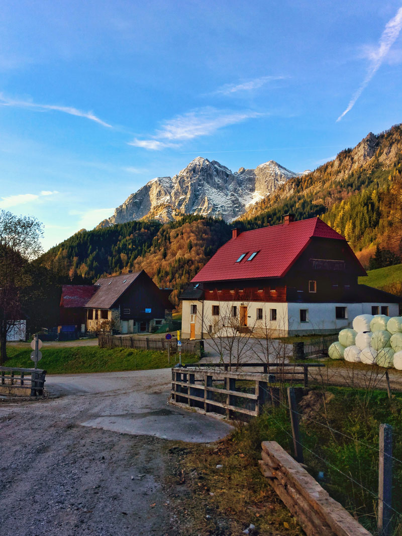
Steiermark · AT
Steiermark · AT
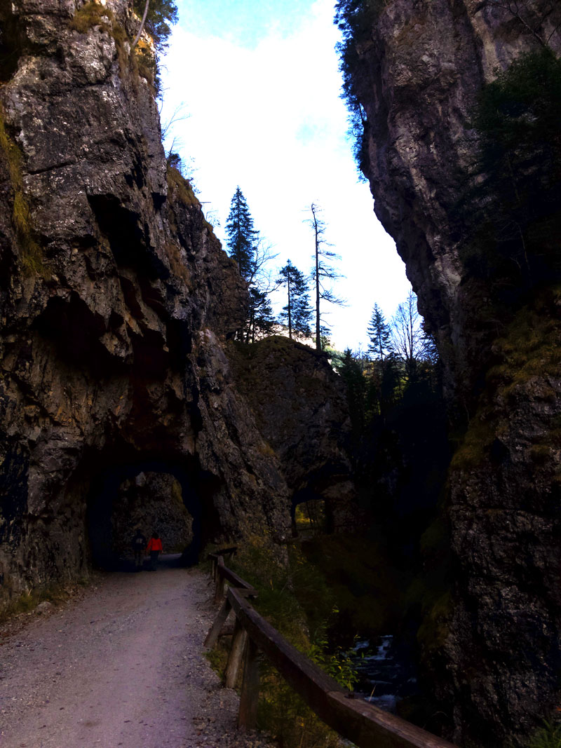
Steiermark · AT
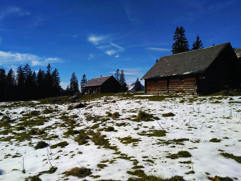
Steiermark · AT
