Steiermark · AT
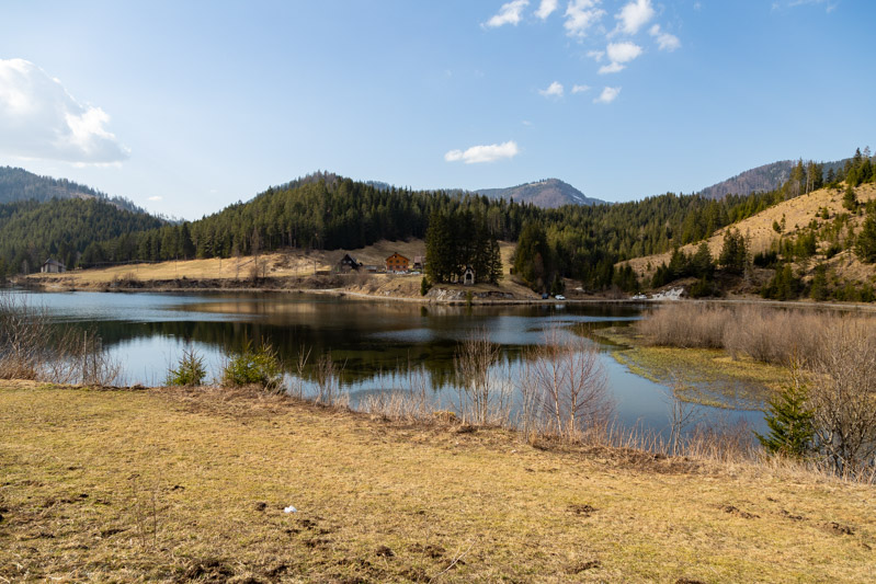
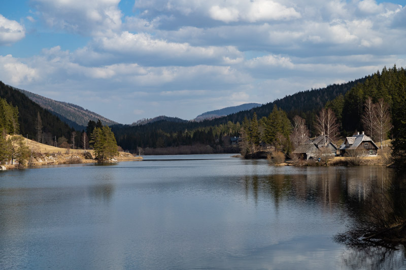
widok na Hubertussee
widok na Hubertussee
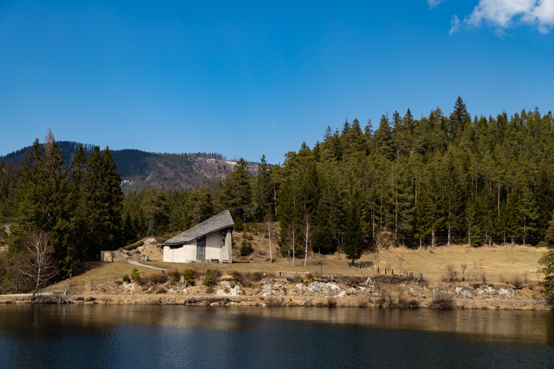
kościół Burder Klaus Kirche
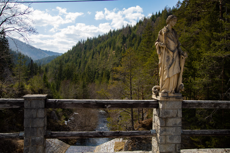
zapora na rzece Walster
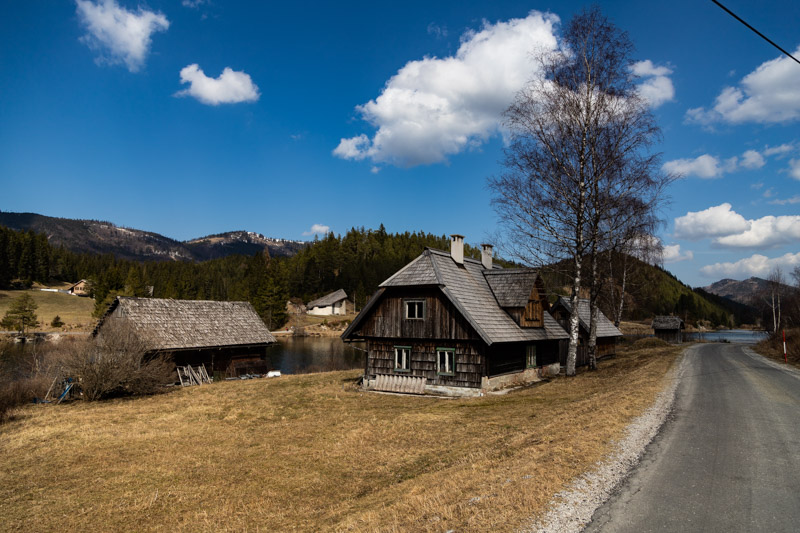
trasa wzdłuż jeziora
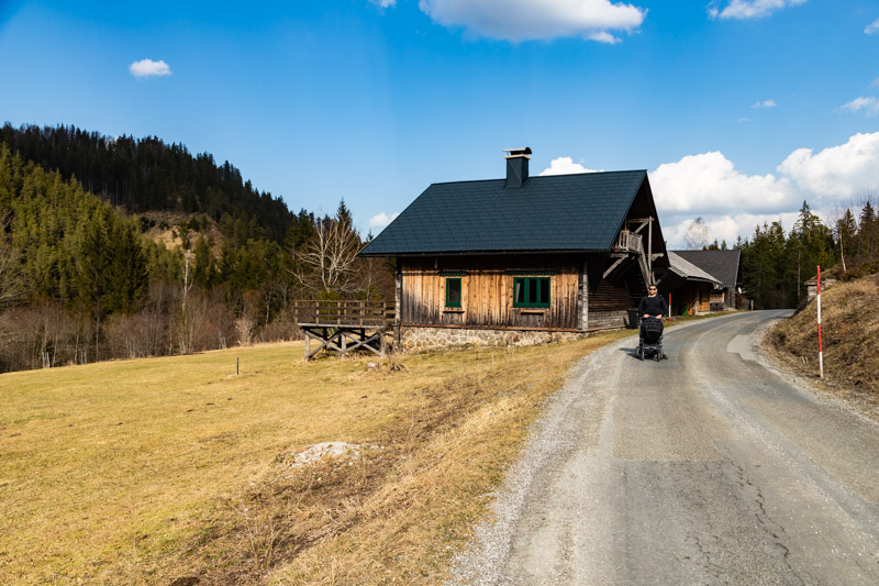
zabudowania przy Hubertussee
| Difficulty | Medium |
|---|---|
| Duration | 2h |
| Length | 7.10 km |
| Ascent | 17 m |
| Descent | 17 m |
| Highest Point | 842 m |
|---|---|
| Lowest Point | 825 m |
| Region | Steiermark |
| Country | AT |
| OutdoorActive | Outdooractive Link |
Hubertussee
Latitude:
47.807614
Longitude:
15.370657
Hubertussee
Latitude:
47.807614
Longitude:
15.370657
17 m
Total Ascent
17 m
Total Descent
842 m
Highest Point
825 m
Lowest Point
This is a simplified elevation profile showing the highest and lowest points of the trail. For a detailed GPS-tracked elevation profile, please use a dedicated hiking app.
Steiermark · AT
Steiermark · AT
Steiermark · AT
Steiermark · AT
