Steiermark · AT
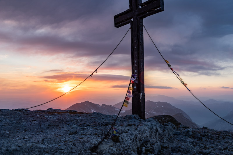
hochschwab-gipfel.jpg
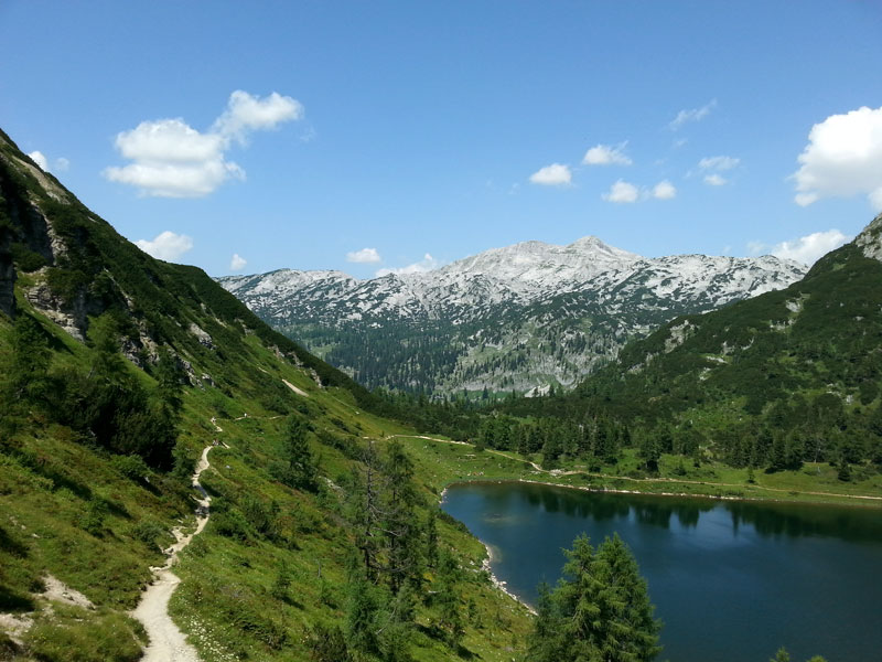
widok na dolinę Seetal
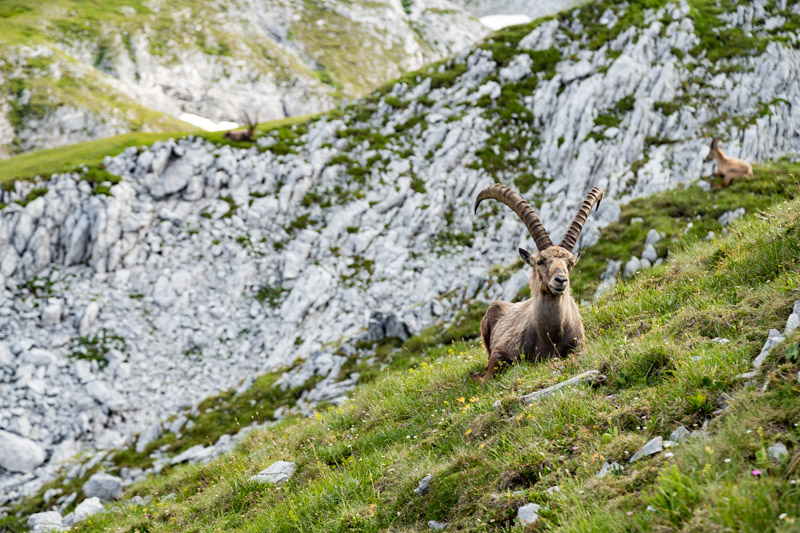
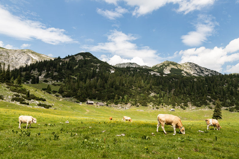
Koziorożec niedaleko schroniska
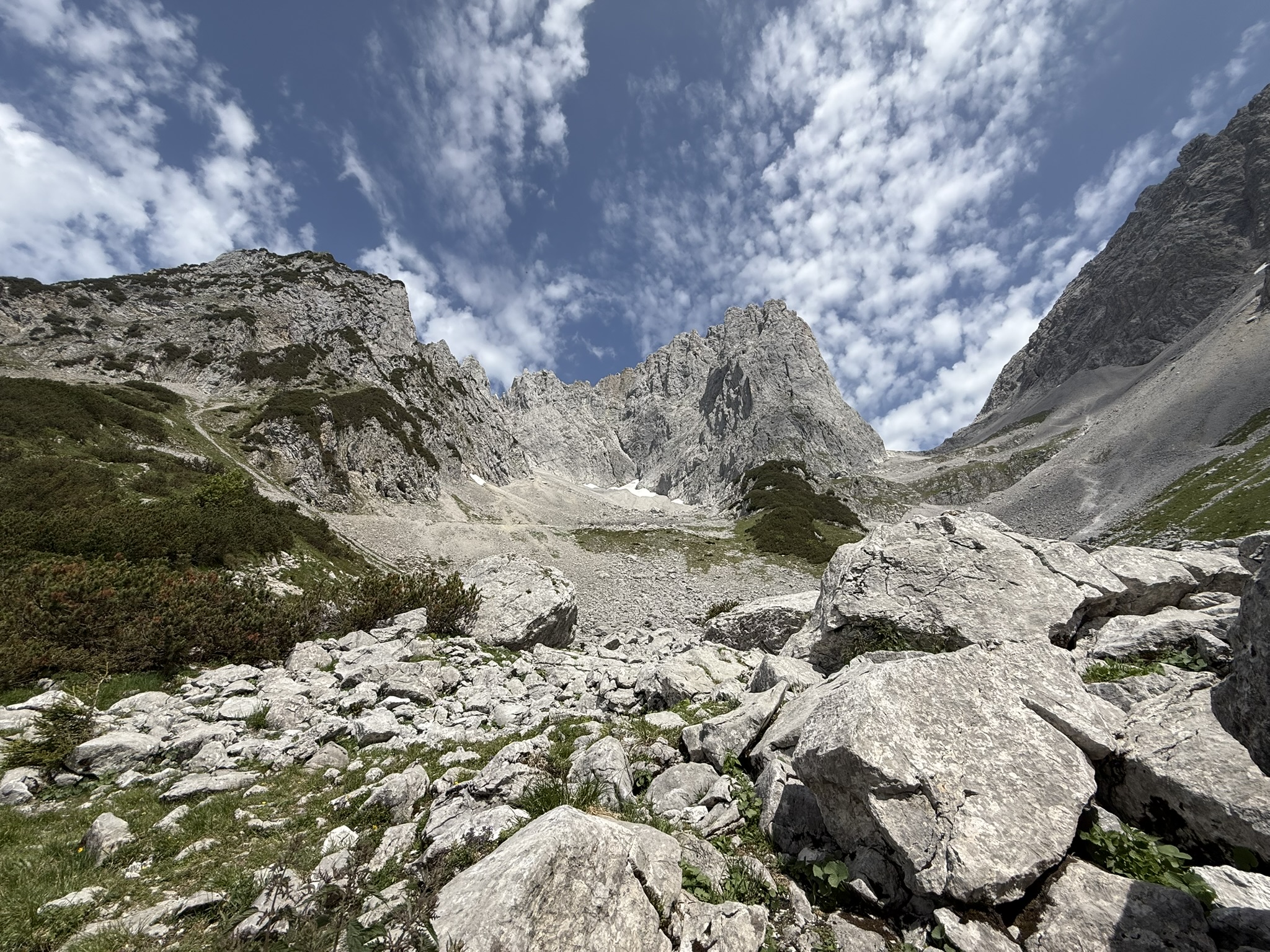
widok na Hochweichsel
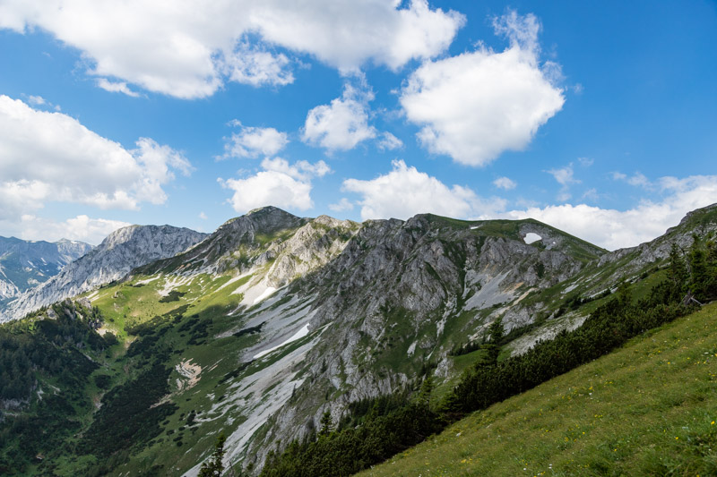
widok na Aflenzer Staritzen
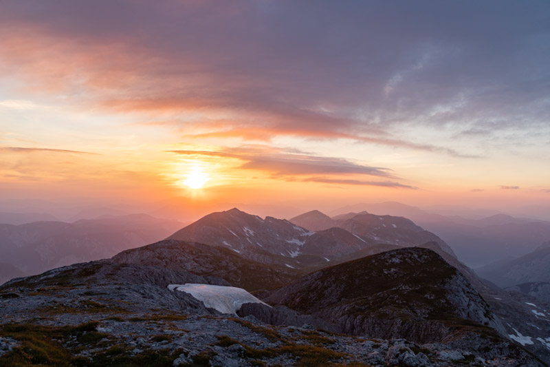
wschód słońca widoczny ze szczytu Hochschwab'a
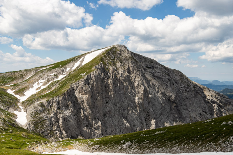
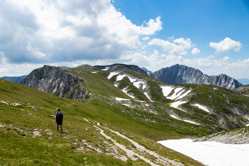
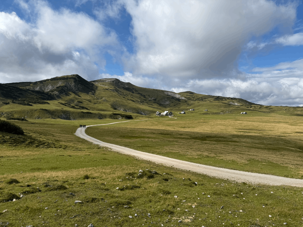
widok na Sonnenschienalm
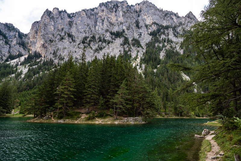
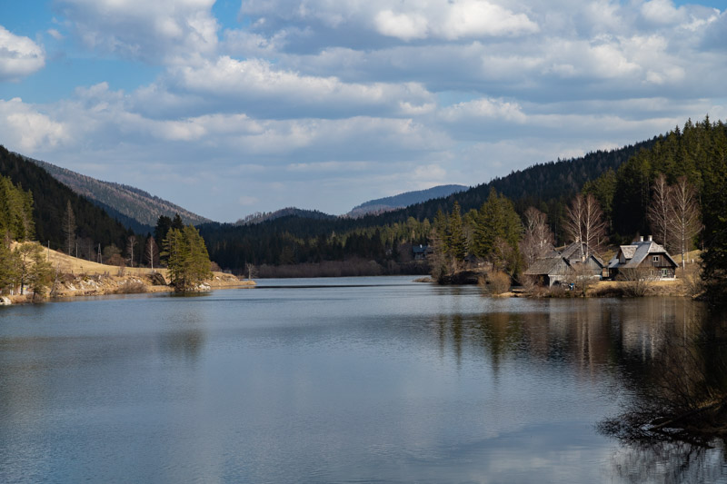
Gruener-See.jpg
| Difficulty | Medium |
|---|---|
| Duration | 11h 50m |
| Length | 15.30 km |
| Ascent | 1621 m |
| Descent | 2091 m |
| Highest Point | 2273 m |
|---|---|
| Lowest Point | 771 m |
| Region | Steiermark |
| Country | AT |
Seewiesen
Latitude:
47.626066
Longitude:
15.282841
Grüner See
Latitude:
47.540238
Longitude:
15.056417
| Duration | 6h 30m |
|---|---|
| Length | 14.30 km |
| Ascent | 1382 m |
| Descent | 475 m |
| Highest Point | 2273 m |
|---|---|
| Lowest Point | 1247 m |
| Outdooractive | Outdooractive Link |
Seewiesen
Latitude:
47.626066
Longitude:
15.282841
Schiestlhaus
Latitude:
47.622170
Longitude:
15.148577
| Duration | 5h 20m |
|---|---|
| Length | 1.00 km |
| Ascent | 239 m |
| Descent | 1616 m |
| Highest Point | 2273 m |
|---|---|
| Lowest Point | 771 m |
| Outdooractive | Outdooractive Link |
Schiestlhaus
Latitude:
47.622170
Longitude:
15.148577
Grüner See
Latitude:
47.540238
Longitude:
15.056417
1621 m
Total Ascent
2091 m
Total Descent
2273 m
Highest Point
771 m
Lowest Point
This is a simplified elevation profile showing the highest and lowest points of the trail. For a detailed GPS-tracked elevation profile, please use a dedicated hiking app.
Steiermark · AT
Steiermark · AT
Steiermark · AT
Steiermark · AT
