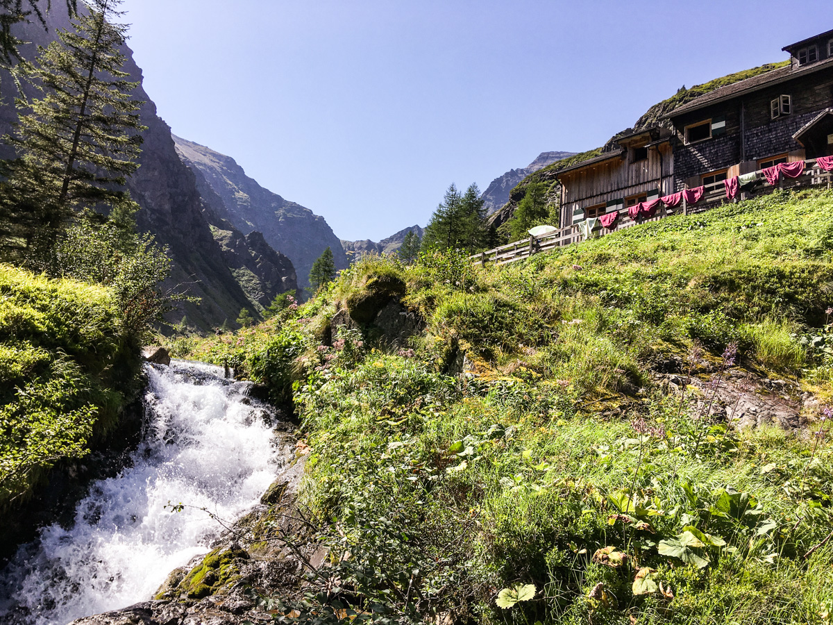
Steiermark · AT

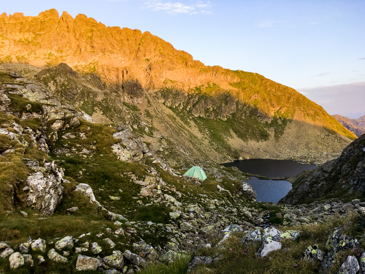

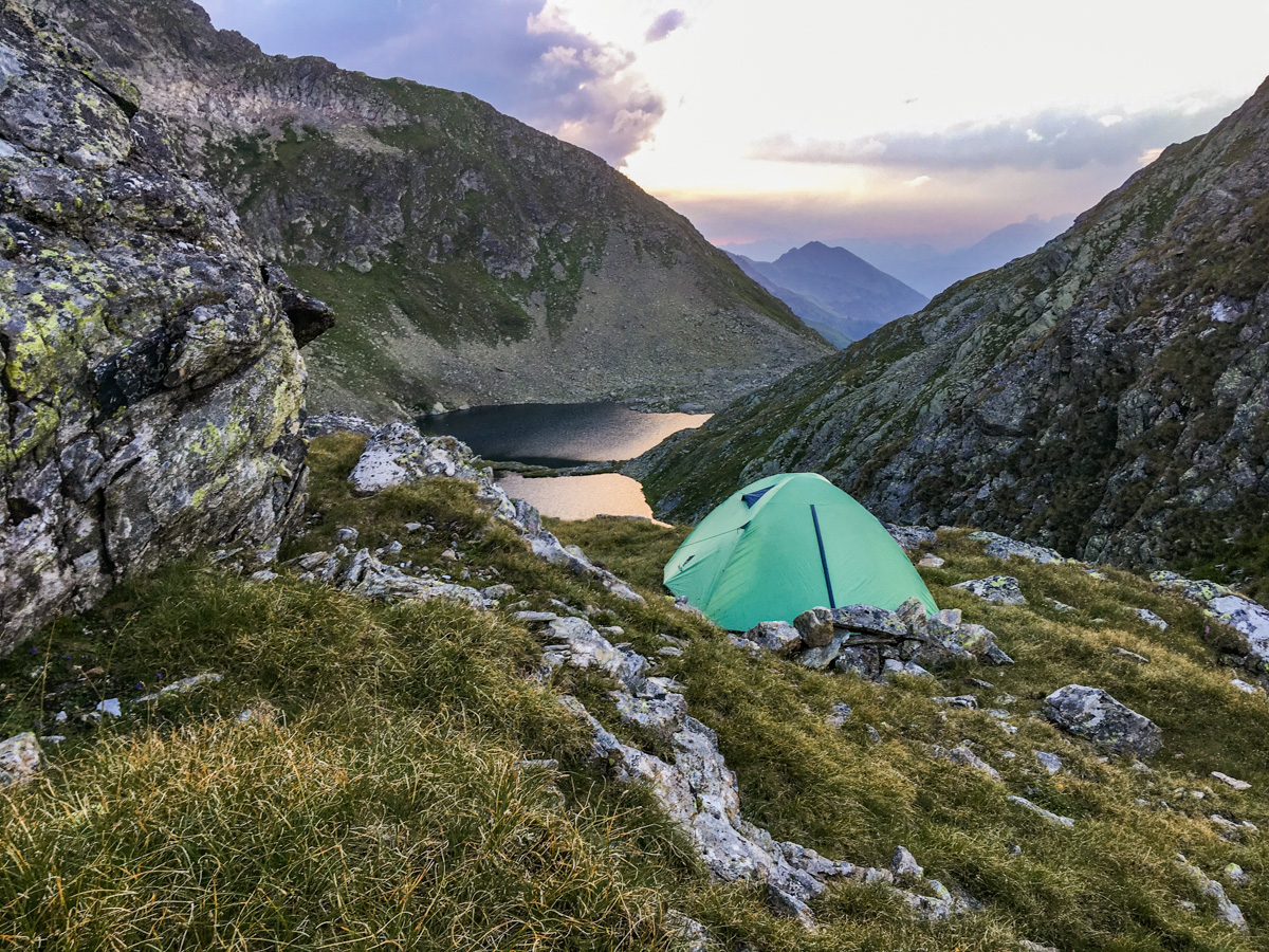
widok na namiot i Rauenbergsee
widok na Klafferkessel ze zbocza Greifenberg
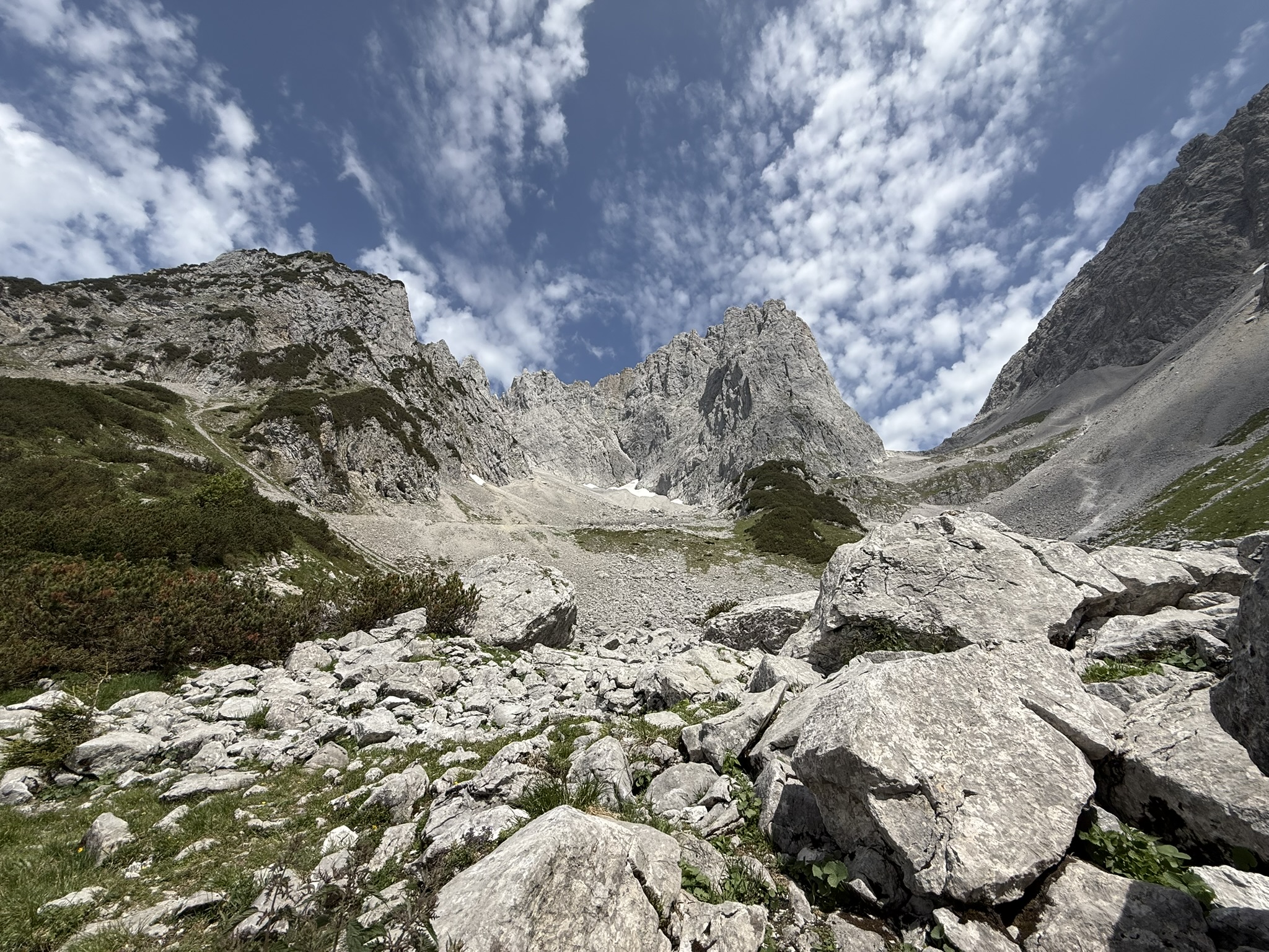
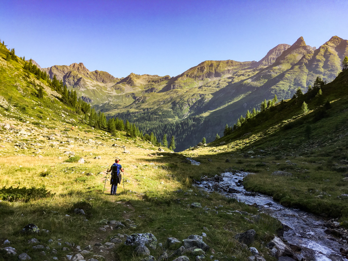
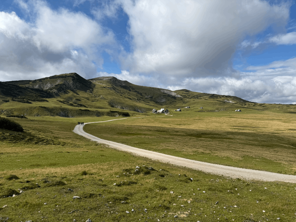
widok na Gollinghue
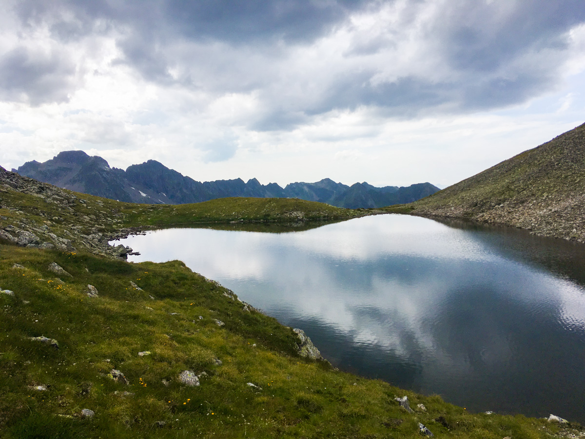
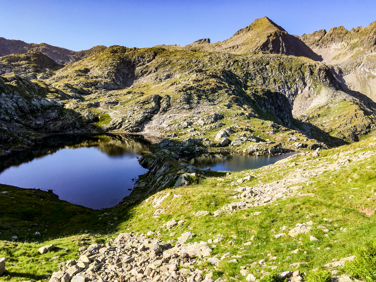
widok na Sattelsee
widok na Klafferkessel ze szczytu Greifenberg
widok na namiot i Rauenbergsee w promieniach wschodzącego słońca
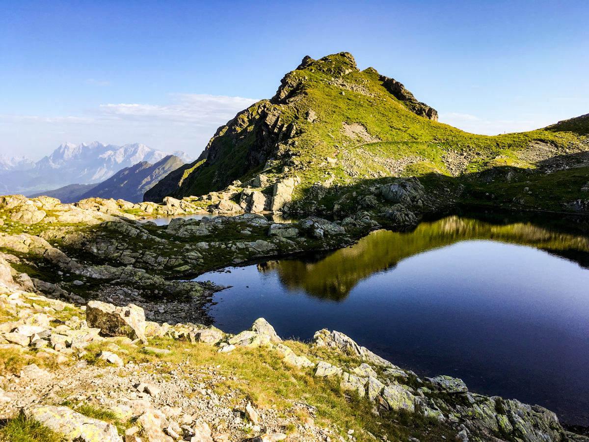
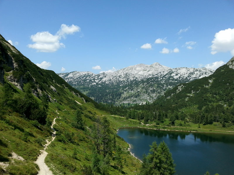
widok na Rauenbergsee
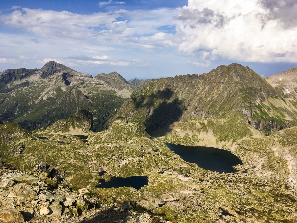
dolna część Klafferkessel
widok na jedno z ostatnich jezior na Klafferkessel, w tle masyw Dachstein'u
widok na szczyty Schladminger Tauern
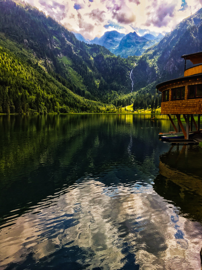
steirischer-bodensee-1.jpg
| Difficulty | Hard |
|---|---|
| Duration | 9h 30m |
| Length | 21.90 km |
| Ascent | 1581 m |
| Descent | 1677 m |
| Highest Point | 2618 m |
|---|---|
| Lowest Point | 1055 m |
| Region | Steiermark |
| Country | AT |
Parkking Untertal
Latitude:
47.328556
Longitude:
13.755913
Parking Untertal
Latitude:
47.328556
Longitude:
13.755913
| Duration | 6h 20m |
|---|---|
| Length | 12.20 km |
| Ascent | 1549 m |
| Descent | 472 m |
| Highest Point | 2618 m |
|---|---|
| Lowest Point | 1067 m |
| Outdooractive | Outdooractive Link |
Parkking Untertal
Latitude:
47.328556
Longitude:
13.755913
Untere Klaffersee
Latitude:
47.298416
Longitude:
13.792184
| Duration | 3h 10m |
|---|---|
| Length | 9.70 km |
| Ascent | 32 m |
| Descent | 1205 m |
| Highest Point | 2228 m |
|---|---|
| Lowest Point | 1055 m |
| Outdooractive | Outdooractive Link |
Untere Klaffersee
Latitude:
47.298416
Longitude:
13.792184
Parking Untertal
Latitude:
47.328556
Longitude:
13.755913
1581 m
Total Ascent
1677 m
Total Descent
2618 m
Highest Point
1055 m
Lowest Point
This is a simplified elevation profile showing the highest and lowest points of the trail. For a detailed GPS-tracked elevation profile, please use a dedicated hiking app.
Steiermark · AT
Steiermark · AT
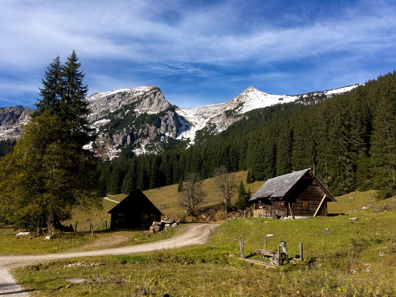
Steiermark · AT
Steiermark · AT
